
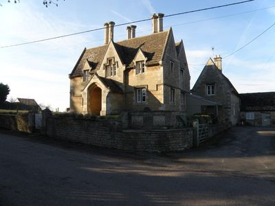
Rectory Farmhouse And Attached Farmbuildings
Rectory Farmhouse And Attached Farmbuildings, farmhouse in Benefield, East Northamptonshire, Northamptonshire, UK
Posizione: Benefield
Coordinate GPS: 52.48657,-0.54449
Ultimo aggiornamento: 7 aprile 2025 alle 13:11
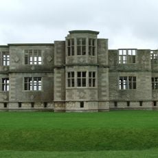
Lyveden New Bield
3.4 km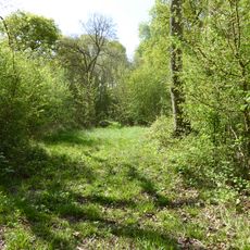
Short Wood and Southwick Wood
3.8 km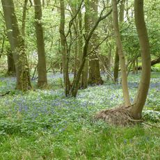
Glapthorn Cow Pasture
2.3 km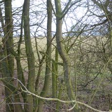
Sudborough Green Lodge Meadows
4.8 km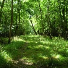
Banhaw, Spring and Blackthorn's Woods
1.9 km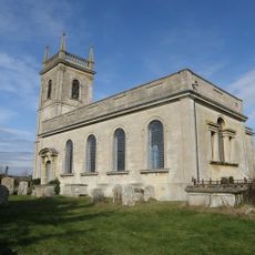
Church of St Rumbald
4.4 km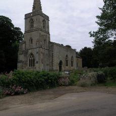
Church of St Mary, Southwick
4.7 km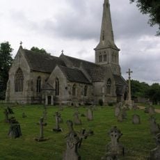
Church of St Mary
196 m
Church of St Leonard
3.8 km
Holy Name Of Jesus Church
4.8 km
Oundle Post Office
5.2 km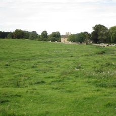
Bridge Approximately 75 Metres South Of Shuckburgh Arms Public House
4.2 km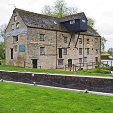
Barnwell Mill Restaurant
5.1 km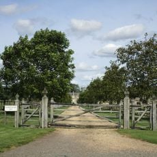
Fermyn Woods Hall and Attached Stables and Ancillary Buildings
3.5 km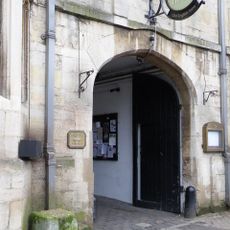
The Talbot Hotel, Including Ranges Of Stables And Barns At Rear, Mounting Block Near Main Carriage Entrance
5.1 km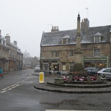
Oundle and Ashton War Memorial
5.2 km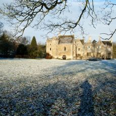
Southwick Hall
4.8 km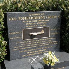
401st Bombardment Group USAAF Memorial, Deenethorpe
3.1 km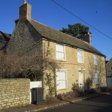
Church Farm House
3.8 km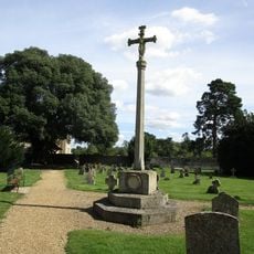
Benefield War Memorial
169 m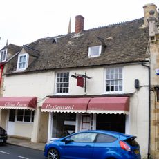
6, New Street
5.2 km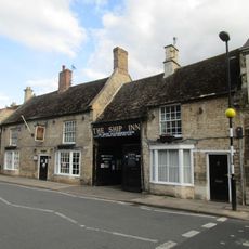
Ship Guest House
5.1 km
8, West Street
5.2 km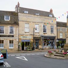
6, West Street
5.2 km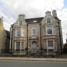
44, West Street
5 km
14, West Street
5.1 km
8 And 10, New Street
5.2 km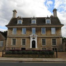
Cobthorne
5.1 kmRecensioni
Ha visitato questo luogo? Tocchi le stelle per valutarlo e condividere la Sua esperienza o foto con la community! Provalo ora! Puoi annullarlo in qualsiasi momento.
Scopri tesori nascosti ad ogni viaggio!
Da piccoli caffè caratteristici a panorami nascosti, fuggi dalla folla e scova i posti che fanno davvero per te. La nostra app ti semplifica tutto: ricerca vocale, filtri furbi, percorsi ottimizzati e dritte autentiche da viaggiatori di tutto il mondo. Scaricala subito per vivere l'avventura sul tuo smartphone!

Un nuovo approccio alla scoperta turistica❞
— Le Figaro
Tutti i luoghi che meritano di essere esplorati❞
— France Info
Un’escursione su misura in pochi clic❞
— 20 Minutes