
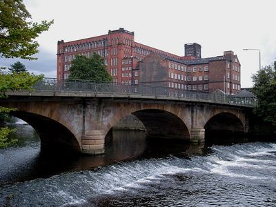
Belper Bridge, road bridge in Belper, Amber Valley, Derbyshire, UK
Posizione: Belper
Coordinate GPS: 53.02935,-1.48724
Ultimo aggiornamento: 23 settembre 2025 alle 17:46
Mulini della valle del Derwent
83 m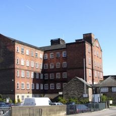
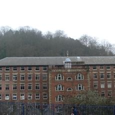
Belper North Mill
131 m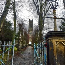
Parish Church of St Peter
749 m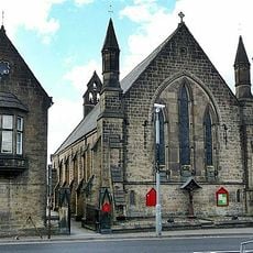
Christ Church
231 m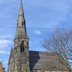
Congregational Church
633 m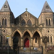
Belper Baptist Church
438 m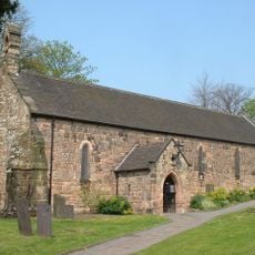
Church of St John the Baptist
964 m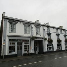
The Lion Hotel
587 m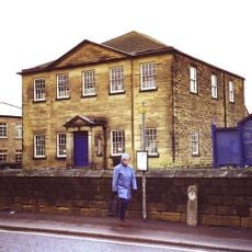
Central Methodist Church
820 m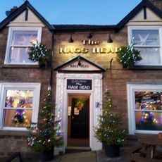
The Nag's Head Public House
892 m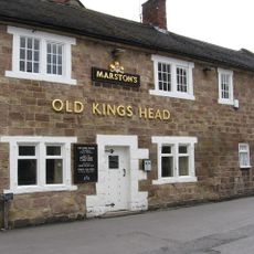
The Old King's Head Public House
945 m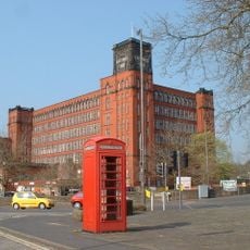
K6 Telephone Kiosk
205 m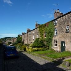
25-36, Long Row
394 m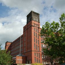
East Mill
126 m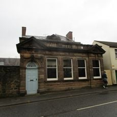
Savings Bank
338 m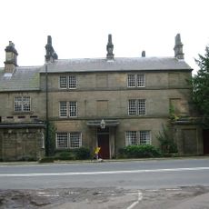
Crossroads Farmhouse
880 m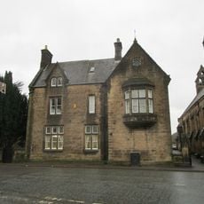
Christchurch Vicarage
250 m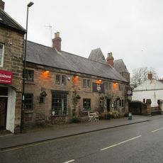
The Duke Of Devonshire Inn
458 m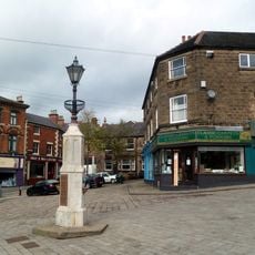
The Fountain
885 m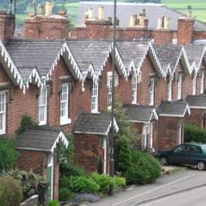
11-21, Cheapside
926 m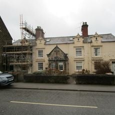
41-47, Bridge Street
587 m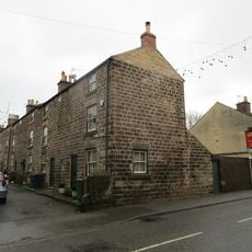
4-13, Crown Terrace
411 m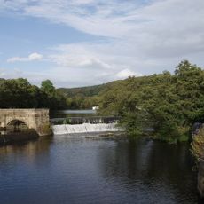
Belper River Weirs, Retaining Walls And Sluices To Belper River Weirs
66 m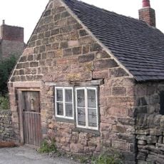
Nailers Shop At Number 8
522 m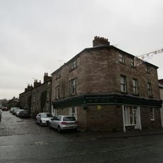
134, Bridge Street
270 m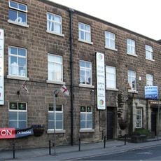
Mills Occupied By George Brettle And Company Limited (that Part Along The Chapel Street Frontage, Bounded On The North By The 18
846 m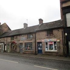
11-17, Bridge Street
694 m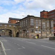
Road Archway And Footbridge (includes Offices Forming South Part Of Block In East Side Of Archway)
108 mRecensioni
Ha visitato questo luogo? Tocchi le stelle per valutarlo e condividere la Sua esperienza o foto con la community! Provalo ora! Puoi annullarlo in qualsiasi momento.
Scopri tesori nascosti ad ogni viaggio!
Da piccoli caffè caratteristici a panorami nascosti, fuggi dalla folla e scova i posti che fanno davvero per te. La nostra app ti semplifica tutto: ricerca vocale, filtri furbi, percorsi ottimizzati e dritte autentiche da viaggiatori di tutto il mondo. Scaricala subito per vivere l'avventura sul tuo smartphone!

Un nuovo approccio alla scoperta turistica❞
— Le Figaro
Tutti i luoghi che meritano di essere esplorati❞
— France Info
Un’escursione su misura in pochi clic❞
— 20 Minutes