
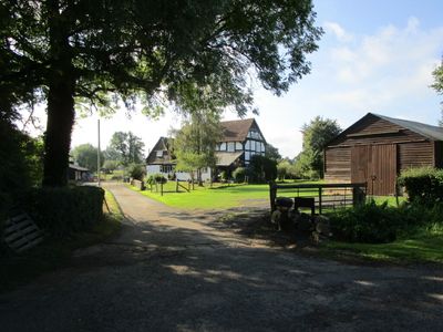
Sladbrook Farmhouse
Sladbrook Farmhouse, farmhouse in Staunton, Forest of Dean, Gloucestershire, UK
Posizione: Staunton
Coordinate GPS: 51.95713,-2.33529
Ultimo aggiornamento: 28 marzo 2025 alle 19:28
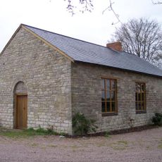
Gadfield Elm Chapel
2.9 km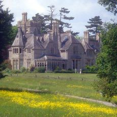
Foscombe
3.7 km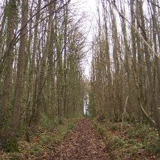
Collinpark Wood SSSI
2.2 km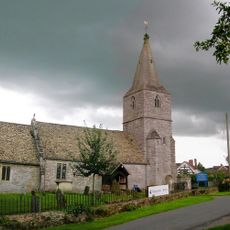
Church of St Margaret
2.9 km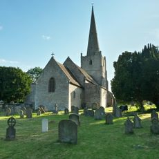
Church of St John Baptist
3.8 km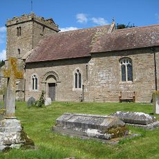
Church of St John the Evangelist
2.2 km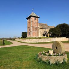
Church of St Mary
1.8 km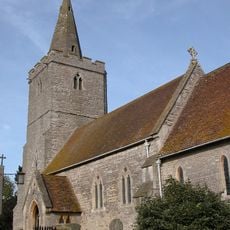
Church of St James
1.2 km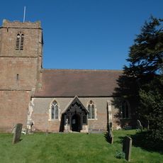
Church of St Bartholomew
3.1 km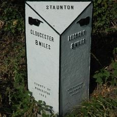
Milestone, About 24 Metres East Of Footpath To Church
1.3 km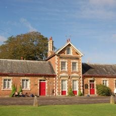
Prince Of Wales Public House
2.1 km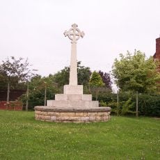
Redmarley D'Abitot War Memorial
3.2 km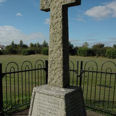
Staunton War Memorial
1.2 km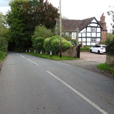
Rock Farmhouse
3 km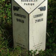
Milestone At Ngr So769301
1.3 km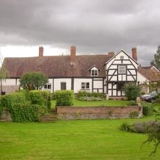
Corse Court
2.9 km
Parsonage Farmhouse
4.2 km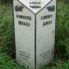
Milestone, About 85 Metres North Of The Rose And Crown Public House
2.8 km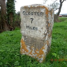
Milestone On South Side Of Junction With Straight Lane
3.6 km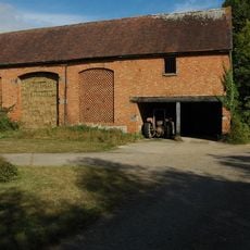
Snig's End Farmhouse
2 km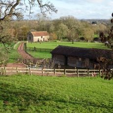
Mill, About 150 Metres East South East Of Pauntley Court
2 km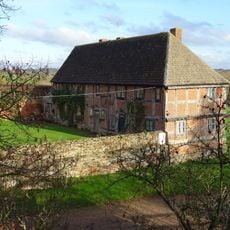
Stables, About 46 Metres South Of Pauntley Court
2.1 km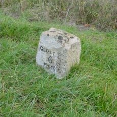
Milestone, About 200M North Of Junction With Worcester Road
3 km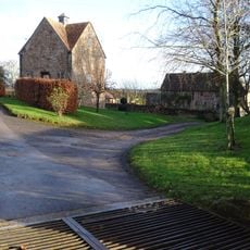
Dovecote, Pauntley Court
2.2 km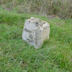
Milestone, Corse; Church Lane
2.9 km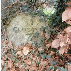
Milestone, Snigsend
2.1 km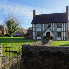
Kings End House
3.3 km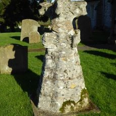
Top Of Spire, Reset In Churchyard, About 5 Metres North Of The West End Of The Tower, Church Of St Margaret
2.9 kmRecensioni
Ha visitato questo luogo? Tocchi le stelle per valutarlo e condividere la Sua esperienza o foto con la community! Provalo ora! Puoi annullarlo in qualsiasi momento.
Scopri tesori nascosti ad ogni viaggio!
Da piccoli caffè caratteristici a panorami nascosti, fuggi dalla folla e scova i posti che fanno davvero per te. La nostra app ti semplifica tutto: ricerca vocale, filtri furbi, percorsi ottimizzati e dritte autentiche da viaggiatori di tutto il mondo. Scaricala subito per vivere l'avventura sul tuo smartphone!

Un nuovo approccio alla scoperta turistica❞
— Le Figaro
Tutti i luoghi che meritano di essere esplorati❞
— France Info
Un’escursione su misura in pochi clic❞
— 20 Minutes