
The Croft, architectural structure in Donhead St. Mary, Wiltshire, UK
Posizione: Donhead St Mary
Coordinate GPS: 51.01925,-2.13390
Ultimo aggiornamento: 4 marzo 2025 alle 22:07
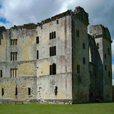
Old Wardour Castle
3.7 km
Ferne House
3.1 km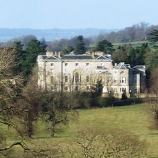
New Wardour Castle
3.2 km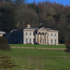
Pythouse
4.1 km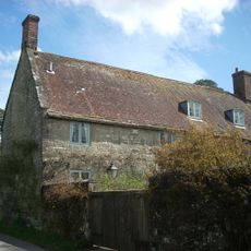
Shute House
276 m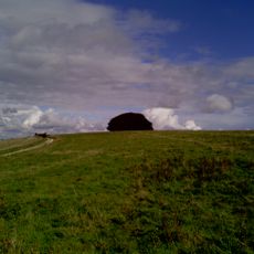
Win Green Down
4.1 km
Castle Rings
2 km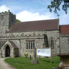
Church of St Andrew
853 m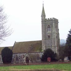
Church of St Leonard
2.9 km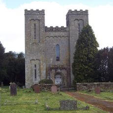
Church of St John the Baptist
1.9 km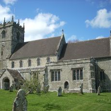
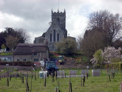
Church of St Mary
33 m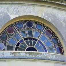
Wardour Castle Chapel
3.3 km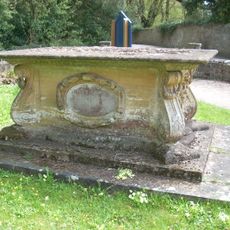
Pender Monument In The Churchyard, About 10 Metres South Of The Church Of St Andrew
858 m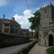
Donhead House
815 m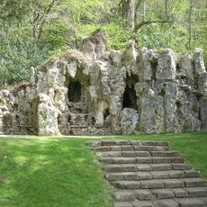
Grotto To North East Of Old Wardour Castle
3.8 km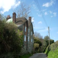
Carpenters
492 m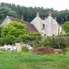
Old Wardour House
3.6 km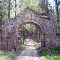
Archway On Trackway To South West Of Old Wardour
3.1 km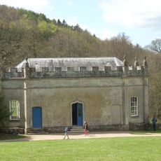
Banqueting House At Old Wardour Park
3.6 km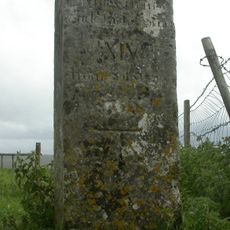
Whitesheet Hill milestone
3.4 km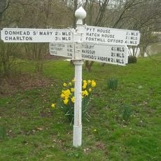
Guide Post Opposite North West Entrance To Churchyard Of Church Of St Leonard
2.9 km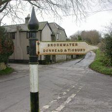
Guide Post At Cross Roads
2 km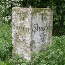
Milestone Near Parish Boundary With Donhead St Andrew
3 km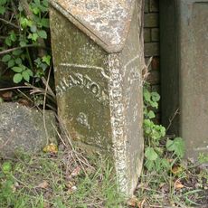
Milepost, Ludwell; E of village next to jcn Dennis Lane
1.7 km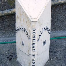
Milepost In Front Of Number 150
2.1 km
Milepost Opposite Coombe Corner
2.3 km
Milepost, Landsley Farm; 100m W entrance St Mary's School opp. Mile End Cottage
3.3 km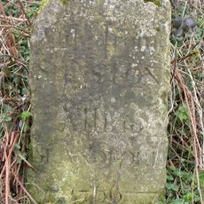
Milestone, Semley Road, Shaftesbury; 30m N lay-by outside reservoir
3.9 kmRecensioni
Ha visitato questo luogo? Tocchi le stelle per valutarlo e condividere la Sua esperienza o foto con la community! Provalo ora! Puoi annullarlo in qualsiasi momento.
Scopri tesori nascosti ad ogni viaggio!
Da piccoli caffè caratteristici a panorami nascosti, fuggi dalla folla e scova i posti che fanno davvero per te. La nostra app ti semplifica tutto: ricerca vocale, filtri furbi, percorsi ottimizzati e dritte autentiche da viaggiatori di tutto il mondo. Scaricala subito per vivere l'avventura sul tuo smartphone!

Un nuovo approccio alla scoperta turistica❞
— Le Figaro
Tutti i luoghi che meritano di essere esplorati❞
— France Info
Un’escursione su misura in pochi clic❞
— 20 Minutes