
Walls to courtyard to east of Rotherfield Hall including piers, balustrades, steps and sundial
Walls to courtyard to east of Rotherfield Hall including piers, balustrades, steps and sundial, structures in Rotherfield, East Sussex, England, UK
Posizione: Rotherfield
Coordinate GPS: 51.03932,0.19993
Ultimo aggiornamento: 25 settembre 2025 alle 08:35
Mayfield College
4.8 km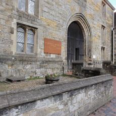
St Leonards-Mayfield School
4.8 km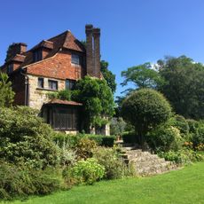
Luxford House
2 km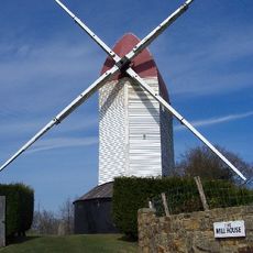
Argos Hill Mill, Mayfield
2.8 km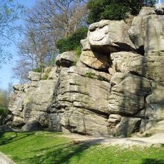
Bowles Rocks
4 km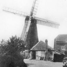
Pratt's Mill, Crowborough
3.3 km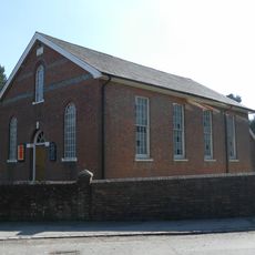
Rehoboth Chapel, Jarvis Brook
1.4 km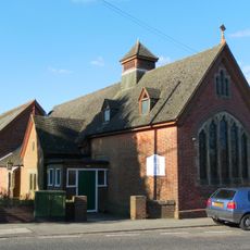
Crowborough Community Church
3.6 km
Crowborough Country Park
1.7 km
Mayfield Baptist Chapel
4.6 km
Hastingford Cutting
3.6 km
The Parish Church of St Denys
1.5 km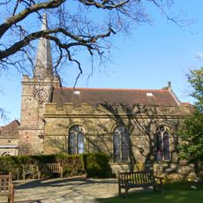
The Parish Church of All Saints
3 km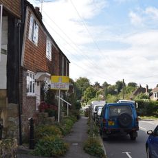
1 and 2 Chapel Cottages, Church Street
1.5 km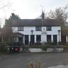
The Five Ashes Inn
4.3 km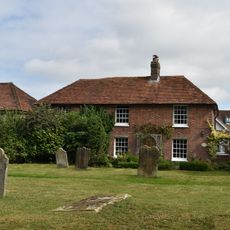
Church Cottage, 2 Church Street
1.5 km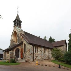
St Michael & All Angels
1 km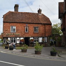
The King's Arms Public House
1.6 km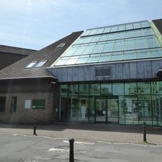
Crowborough Library
3.6 km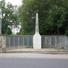
Crowborough War Memorial
3 km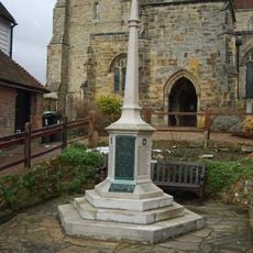
Mayfield War Memorial
4.7 km
Medieval moated site with adjacent late medieval Pondbay, Walsh Manor, Crowborough
1.9 km
Cellar Cottage The Old Bakery
1.6 km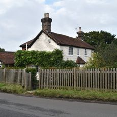
Boxgate Farmhouse
4.5 km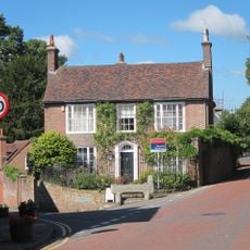
Crossways
4.6 km
Ivy Cottage Ivy House Mark Cross Post Office
4.5 km
Stile House Farmhouse
4.1 km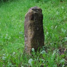
Milestone, Five Ashes, opp Five Ashes Primary School
4.3 kmRecensioni
Ha visitato questo luogo? Tocchi le stelle per valutarlo e condividere la Sua esperienza o foto con la community! Provalo ora! Puoi annullarlo in qualsiasi momento.
Scopri tesori nascosti ad ogni viaggio!
Da piccoli caffè caratteristici a panorami nascosti, fuggi dalla folla e scova i posti che fanno davvero per te. La nostra app ti semplifica tutto: ricerca vocale, filtri furbi, percorsi ottimizzati e dritte autentiche da viaggiatori di tutto il mondo. Scaricala subito per vivere l'avventura sul tuo smartphone!

Un nuovo approccio alla scoperta turistica❞
— Le Figaro
Tutti i luoghi che meritano di essere esplorati❞
— France Info
Un’escursione su misura in pochi clic❞
— 20 Minutes