
Camfield Chest Tomb Approximately 4 Metres South Of The Nave Of The Chapel Of St John
Camfield Chest Tomb Approximately 4 Metres South Of The Nave Of The Chapel Of St John, chest tomb in Speldhurst, Tunbridge Wells, Kent, UK
Posizione: Speldhurst
Coordinate GPS: 51.11785,0.18558
Ultimo aggiornamento: 10 aprile 2025 alle 18:41
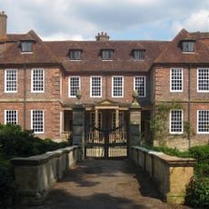
Groombridge Place
278 m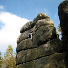
Harrison's Rocks
2.2 km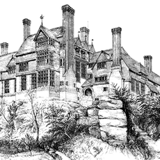
Leyswood
2.6 km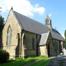
Church of St Peter
2.7 km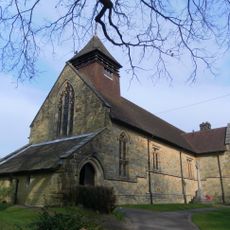
Church of St Thomas the Apostle
793 m
Church of St Martin of Tours
2.3 km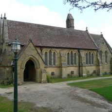
Church of All Saints
1.9 km
Chapel Of St John The Evangelist
17 m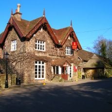
High Rocks Inn
2.8 km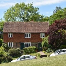
The Old Town Post Office Including Front Area Railings
60 m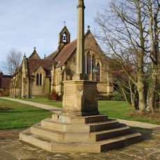
Langton Green War Memorial
1.9 km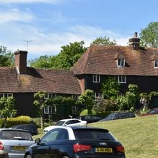
3 And 4, Bird-in-hand Street
92 m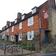
The Crown Including Service Buildings Adjoining To North
53 m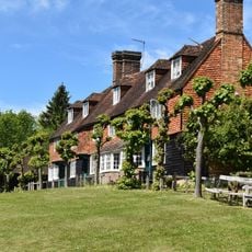
3, 4, 5 And 6, The Walks
73 m
Tender Meads
2.5 km
Mill House
84 m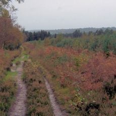
Broadwater Warren RSPB Reserve
2.4 km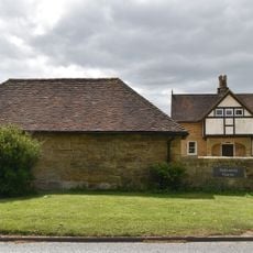
Stables Approximately 10 Metres North East Of Hollonds Farmhouse
1.9 km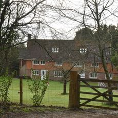
Stone Cross Farmhouse
1.6 km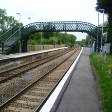
Footbridge At Ashurst Station
2.6 km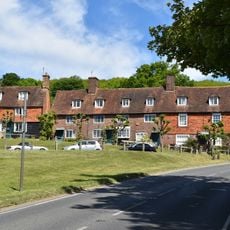
7, 8 And 9, The Walks
70 m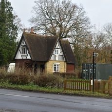
Langton Park Lodge
1.9 km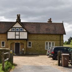
Hollonds Farmhouse
1.9 km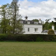
Langton House
2 km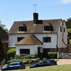
The Old Butchers
53 m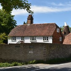
Corseley Farmhouse
884 m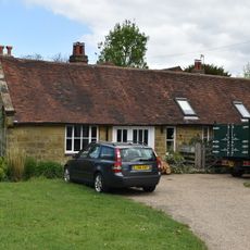
Forge Approximately 5 Metres North Of Forge House
2.1 km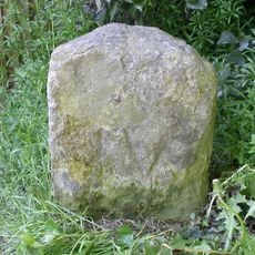
Milestone, Withyham Road; Groombridge
221 mRecensioni
Ha visitato questo luogo? Tocchi le stelle per valutarlo e condividere la Sua esperienza o foto con la community! Provalo ora! Puoi annullarlo in qualsiasi momento.
Scopri tesori nascosti ad ogni viaggio!
Da piccoli caffè caratteristici a panorami nascosti, fuggi dalla folla e scova i posti che fanno davvero per te. La nostra app ti semplifica tutto: ricerca vocale, filtri furbi, percorsi ottimizzati e dritte autentiche da viaggiatori di tutto il mondo. Scaricala subito per vivere l'avventura sul tuo smartphone!

Un nuovo approccio alla scoperta turistica❞
— Le Figaro
Tutti i luoghi che meritano di essere esplorati❞
— France Info
Un’escursione su misura in pochi clic❞
— 20 Minutes