
Coates Tomb 11 Metres South West Of Church Of St Mary
Coates Tomb 11 Metres South West Of Church Of St Mary, tomb in Stannington, Northumberland, UK
Posizione: Stannington
Coordinate GPS: 55.10857,-1.67294
Ultimo aggiornamento: 17 aprile 2025 alle 10:00
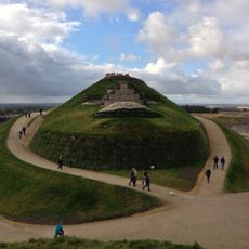
Northumberlandia
3.6 km
Blagdon Hall
3.5 km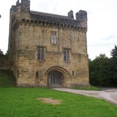
Castello di Morpeth
6.2 km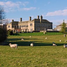
Kirkley Hall
6.3 km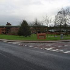
County Hall
5 km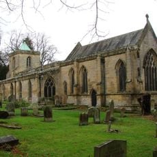
St Mary's, High Church
5.8 km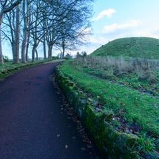
Motte and bailey castle on Haw Hill
6.3 km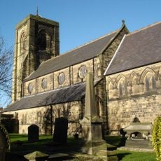
Church of St Nicholas
6.3 km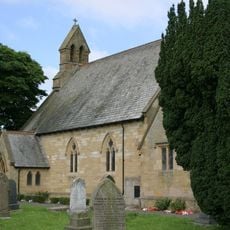
Church of St Matthew
6.2 km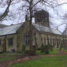
Church of St Cuthbert
5.6 km
Church of St Mary the Virgin
32 m
St Aidan
5.7 km
Bedlington War Memorial
5.5 km
The Grapes
5.5 km
Cramlington War Memorial in Village Square
6.2 km
Milepost East Of Road 80 Metres South Of Swan Farmhouse
545 m
Bellasis Bridge
2.6 km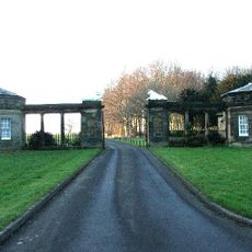
South Lodges, Gate Screen And Gates
3.5 km
Old Station Buildings (Greens Agricultural Merchants)
6 km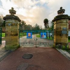
Gatepiers And Gates To Carlisle Park
6.3 km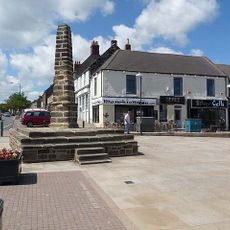
The Cross
5.6 km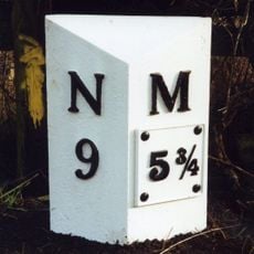
Milepost East Of Road 50 Metres North Of Blagdon North Lodge
2.1 km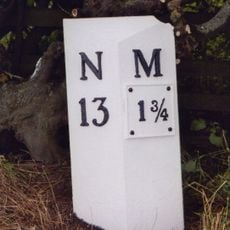
Milepost 500 Metres South Of Catchburn Farm
4.2 km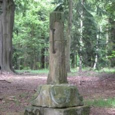
Medieval Cross Remains In North Wood
2.5 km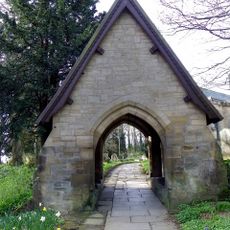
Lychgate North-East Of Church Of St Mary
5.8 km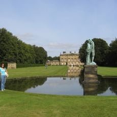
Canal With Basin Urns And Statue, To South Of Blagdon Hall
2.5 km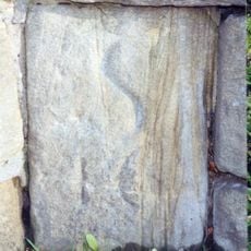
Milestone, Shields Road, just W of railway bridge, near Mafeking Park
6.1 km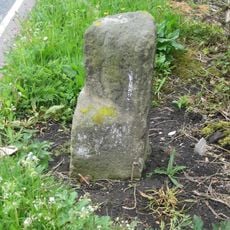
Milestone, Cramlington, nr roundabout jct with A1068
3.6 kmRecensioni
Ha visitato questo luogo? Tocchi le stelle per valutarlo e condividere la Sua esperienza o foto con la community! Provalo ora! Puoi annullarlo in qualsiasi momento.
Scopri tesori nascosti ad ogni viaggio!
Da piccoli caffè caratteristici a panorami nascosti, fuggi dalla folla e scova i posti che fanno davvero per te. La nostra app ti semplifica tutto: ricerca vocale, filtri furbi, percorsi ottimizzati e dritte autentiche da viaggiatori di tutto il mondo. Scaricala subito per vivere l'avventura sul tuo smartphone!

Un nuovo approccio alla scoperta turistica❞
— Le Figaro
Tutti i luoghi che meritano di essere esplorati❞
— France Info
Un’escursione su misura in pochi clic❞
— 20 Minutes