
Belfield Bridge, bridge in Rochdale, Greater Manchester, UK
Posizione: Rochdale
Coordinate GPS: 53.62206,-2.12704
Ultimo aggiornamento: 18 marzo 2025 alle 22:02

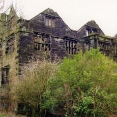
Clegg Hall
811 m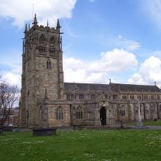
Parish Church of St Chad, Rochdale
2.2 km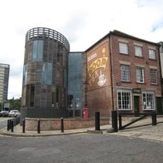
Rochdale Pioneers Museum
2.2 km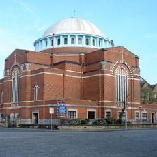
St John the Baptist Church, Rochdale
2.2 km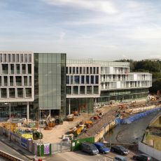
Number One Riverside
1.8 km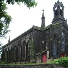
St John the Baptist's Church, Smallbridge
1.3 km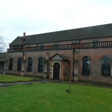
Church of St Mary in the Baum
2.1 km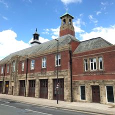
Fireground
2.2 km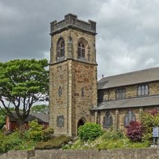
Church of Saint Anne
624 m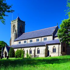
Church of St James
1.6 km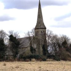
Church of All Saints
1.4 km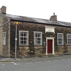
Congregational Church
2.1 km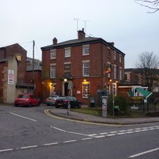
The Reed Hotel
2 km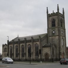
Ukrainian Catholic Church Of Saint Mary
1.8 km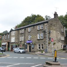
Kiln Lane Chippy And Tim Bobbin Public House
1.6 km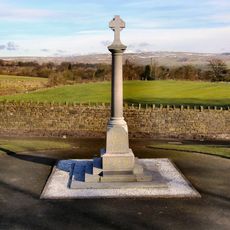
Wardle War Memorial
1.9 km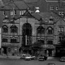
Empire Music Hall
2.1 km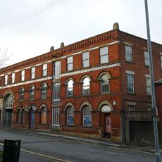
Waterside House
1.9 km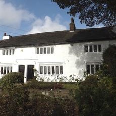
Dearnley Old Hall
1.9 km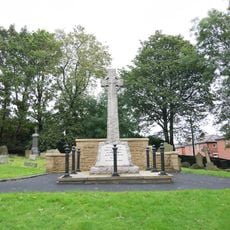
Sundial In Graveyard, South Of St James Church
1.7 km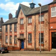
Institute For The Deaf, 23 Church Lane, Rochdale
2 km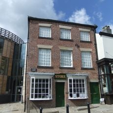
31, Toad Lane
2.2 km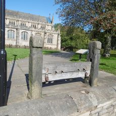
Stocks To South Of Church Of Saint Chad
2.2 km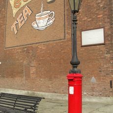
Pillar Box Surmounted By Gas Lamp Adjacent To Number 31
2.2 km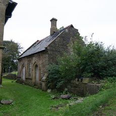
Former Meeting Room Adjacent To Chancel Of St James Church
1.6 km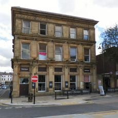
County Court Building
2.1 km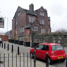
The Vicarage
2.1 km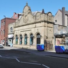
Yates's Wine Lodge (The Blue Bell)
2.2 kmRecensioni
Ha visitato questo luogo? Tocchi le stelle per valutarlo e condividere la Sua esperienza o foto con la community! Provalo ora! Puoi annullarlo in qualsiasi momento.
Scopri tesori nascosti ad ogni viaggio!
Da piccoli caffè caratteristici a panorami nascosti, fuggi dalla folla e scova i posti che fanno davvero per te. La nostra app ti semplifica tutto: ricerca vocale, filtri furbi, percorsi ottimizzati e dritte autentiche da viaggiatori di tutto il mondo. Scaricala subito per vivere l'avventura sul tuo smartphone!

Un nuovo approccio alla scoperta turistica❞
— Le Figaro
Tutti i luoghi che meritano di essere esplorati❞
— France Info
Un’escursione su misura in pochi clic❞
— 20 Minutes