
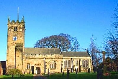
Church of All Hallows, church building in Sutton-on-the-Forest, Hambleton, North Yorkshire, UK
Posizione: Sutton-on-the-Forest
Coordinate GPS: 54.07515,-1.11056
Ultimo aggiornamento: 3 aprile 2025 alle 10:38
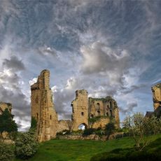
Castello di Sherriff Hutton
7 km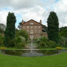
Sutton Park
223 m
Crayke Castle
6.5 km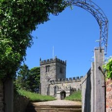
St Cuthbert's Church, Crayke
6.4 km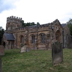
St Martin's Church, Whenby
7 km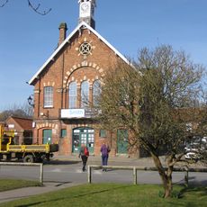
Easingwold Town Hall
7.4 km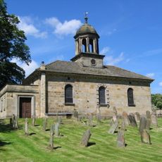
Church of All Saints
7.4 km
Church of St Mary
4 km
Holy Evangelists Church
6.5 km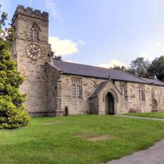
Church of St Nicholas
3.1 km
Church of St Leonard
4.2 km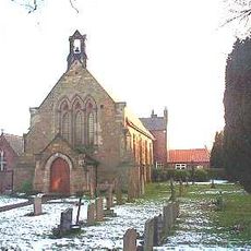
Church of St John the Evangelist (Roman Catholic)
7.2 km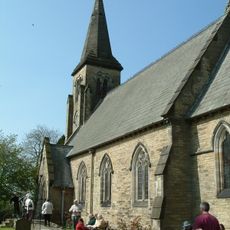
Church of St Mary
6.1 km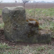
Milestone, N of Sutton on the Forest
957 m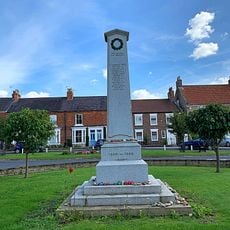
Easingwold War Memorial
7.5 km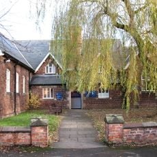
Easingwold Library
7.4 km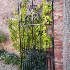
Pair Of Gates To Number 47 (The Villa)
7.4 km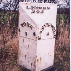
Milestone To North Of Warehill Lane At Ngr 527 636
5.3 km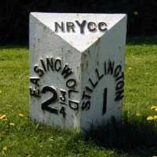
Milepost At Ngr 567682
3.8 km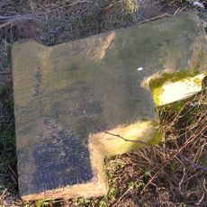
Milepost Approximately 170 Metres To South Of Grange Farmhouse
3 km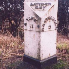
Milestone At 528667
5.9 km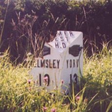
Mile Post Approximately 100 Metres South Of Walter End Farm
6.6 km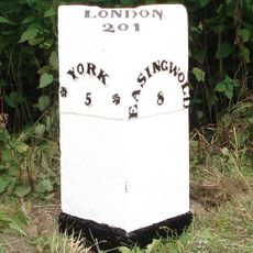
Milepost Approximately 12 Metres To South Of Junction With Sandhole Lane
7.2 km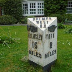
Milepost In Front Of Laughton House
112 m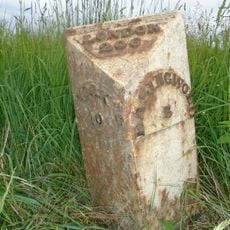
Milestone To North Of Cross Lanes At Ngr 529 651
5.5 km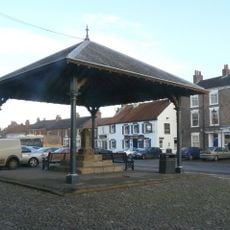
Market Cross And Market House
7.4 km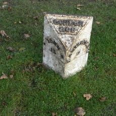
Milestone Outside Number 104
7.3 km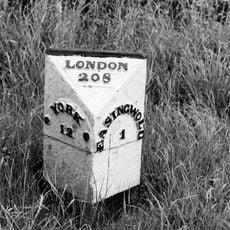
Milestone Between Crankley Lane And Woodbine Farm
6.6 kmRecensioni
Ha visitato questo luogo? Tocchi le stelle per valutarlo e condividere la Sua esperienza o foto con la community! Provalo ora! Puoi annullarlo in qualsiasi momento.
Scopri tesori nascosti ad ogni viaggio!
Da piccoli caffè caratteristici a panorami nascosti, fuggi dalla folla e scova i posti che fanno davvero per te. La nostra app ti semplifica tutto: ricerca vocale, filtri furbi, percorsi ottimizzati e dritte autentiche da viaggiatori di tutto il mondo. Scaricala subito per vivere l'avventura sul tuo smartphone!

Un nuovo approccio alla scoperta turistica❞
— Le Figaro
Tutti i luoghi che meritano di essere esplorati❞
— France Info
Un’escursione su misura in pochi clic❞
— 20 Minutes