
Gas Lamp Standard Opposite No 75, gas streetlight in Sevenoaks, Sevenoaks, Kent, UK
Posizione: Sevenoaks
Coordinate GPS: 51.26818,0.18135
Ultimo aggiornamento: 9 luglio 2025 alle 01:00
Sevenoaks School
1 km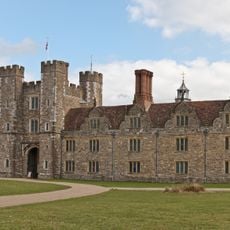
Knole House
1.7 km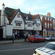
The Chequers Inn
824 m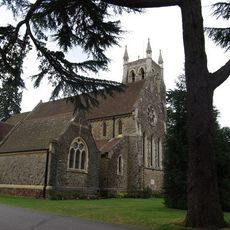
Church of St Mary
252 m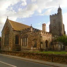
Church of Saint Nicholas
844 m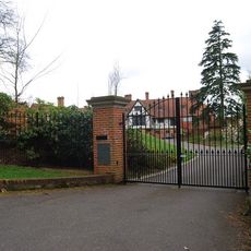
Churchill Court Including Terrace Walls
344 m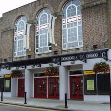
Stag Community Arts Centre
760 m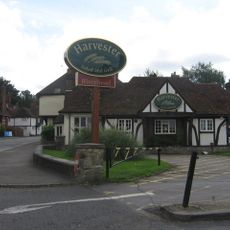
The Riverhead Public House
1.8 km
The Royal Oak Hotel
869 m
The Black Boy Public House
827 m
Little Oak End Oak End
875 m
The Royal Oak Tap
874 m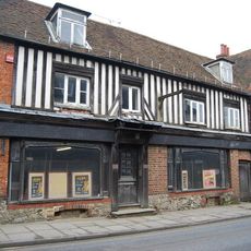
46, 48 And 48A, High Street
872 m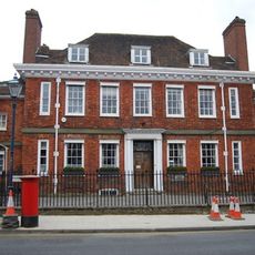
The Red House Including Entrance Gateway, Railings And Side Brick Walls To Forecourt
864 m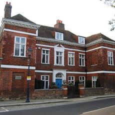
Chantry House Including Entrance Gateway And Screen Wall To Courtyard
861 m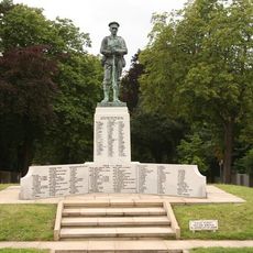
Sevenoaks War Memorial
1.2 km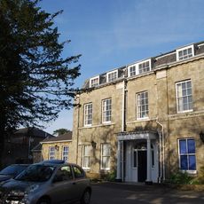
The Manor House
902 m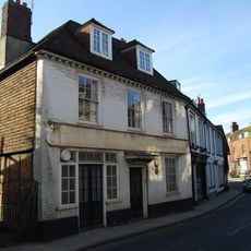
23, High Street
864 m
Claridge House
905 m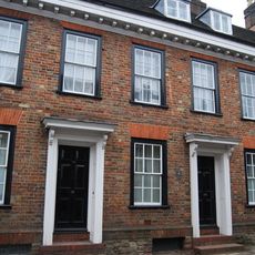
20-24, High Street
885 m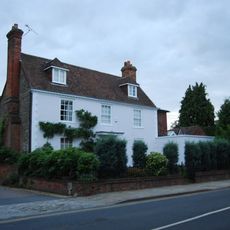
The Old Vicarage
855 m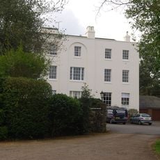
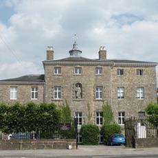
Kippington House Old Folks' Home And Coach Building To North West
44 m
The Old House
884 m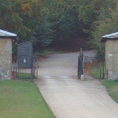
Main Lodge Entrance
1.1 km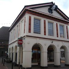
103, High Street
835 m
19, 21 And 21A, High Street
858 m
Garden Walls Adjoining Knole
1.6 km
West Heath School
1.5 kmRecensioni
Ha visitato questo luogo? Tocchi le stelle per valutarlo e condividere la Sua esperienza o foto con la community! Provalo ora! Puoi annullarlo in qualsiasi momento.
Scopri tesori nascosti ad ogni viaggio!
Da piccoli caffè caratteristici a panorami nascosti, fuggi dalla folla e scova i posti che fanno davvero per te. La nostra app ti semplifica tutto: ricerca vocale, filtri furbi, percorsi ottimizzati e dritte autentiche da viaggiatori di tutto il mondo. Scaricala subito per vivere l'avventura sul tuo smartphone!

Un nuovo approccio alla scoperta turistica❞
— Le Figaro
Tutti i luoghi che meritano di essere esplorati❞
— France Info
Un’escursione su misura in pochi clic❞
— 20 Minutes