
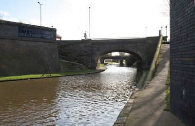
Turnover Bridge On Nottingham Canal, roving bridge in City of Nottingham, Nottinghamshire, UK
Posizione: City of Nottingham
Coordinate GPS: 52.94819,-1.13995
Ultimo aggiornamento: 7 marzo 2025 alle 11:59
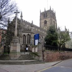
St Mary's Church
397 m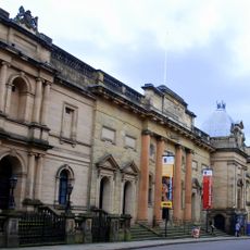
Gallerie del Museo di Giustizia
411 m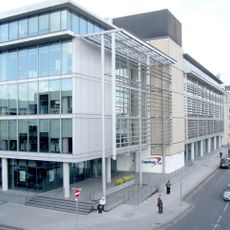
Loxley House, Nottingham
319 m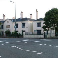
Plumptre Hospital
301 m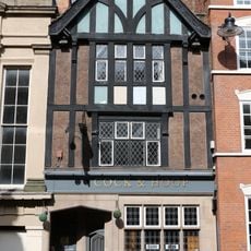
Cock and Hoop
421 m
County War Memorial
398 m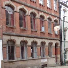
High Pavement Unitarian Chapel
417 m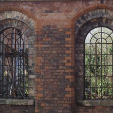
Great Northern Warehouse At London Road Railway Station
271 m
49 And 51, Stoney Street
396 m
Warehouses On The West And North Sides Of Trivet Square
334 m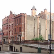
10, Short Hill
344 m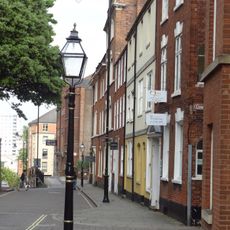
44, High Pavement
355 m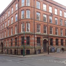
Eastgate House
427 m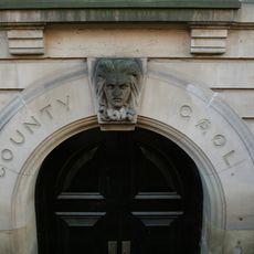
Shire Hall And Adjoining County Gaol
411 m
53, Stoney Street
372 m
King's Court
325 m
47, Stoney Street
422 m
Meadow Mill
363 m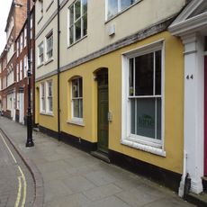
46 And 48, High Pavement
352 m
Churchyard Wall, Railings And Gates At Church Of St Mary Churchyard Walls, Railings And Gates To Church Of St Mary
385 m
31, High Pavement
410 m
1, Plumptre Street
417 m
28, High Pavement
379 m
56, High Pavement
344 m
Number 29 And Area Railings
415 m
2, Short Hill
345 m
26, High Pavement
384 m
Retaining Wall, Steps And Railings Bordering Hollow Stone
354 mRecensioni
Ha visitato questo luogo? Tocchi le stelle per valutarlo e condividere la Sua esperienza o foto con la community! Provalo ora! Puoi annullarlo in qualsiasi momento.
Scopri tesori nascosti ad ogni viaggio!
Da piccoli caffè caratteristici a panorami nascosti, fuggi dalla folla e scova i posti che fanno davvero per te. La nostra app ti semplifica tutto: ricerca vocale, filtri furbi, percorsi ottimizzati e dritte autentiche da viaggiatori di tutto il mondo. Scaricala subito per vivere l'avventura sul tuo smartphone!

Un nuovo approccio alla scoperta turistica❞
— Le Figaro
Tutti i luoghi che meritano di essere esplorati❞
— France Info
Un’escursione su misura in pochi clic❞
— 20 Minutes