
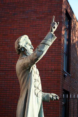
William Booth Memorial Complex, Salvation Army centre in City of Nottingham, Nottinghamshire, UK
Posizione: City of Nottingham
Coordinate GPS: 52.95214,-1.13169
Ultimo aggiornamento: 30 aprile 2025 alle 17:16

National Ice Centre
539 m
Mulino di Green
169 m
Stonebridge city farm
629 m
Plumptre Hospital
565 m
Burrows Court
628 m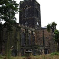
St. Stephen's Church, Sneinton
124 m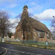
St. Matthias' Church, Nottingham
673 m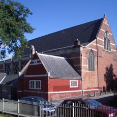
St Alban's Church, Sneinton
306 m
Green's Windmill
155 m
St. Christopher's Church, Sneinton
525 m
St Mary's School
664 m
St. Luke's Church, Nottingham
411 m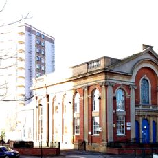
Albion Congregational Church
222 m
War Memorial 25 Metres North West of Church of St Stephen
80 m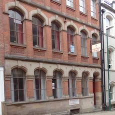
High Pavement Unitarian Chapel
686 m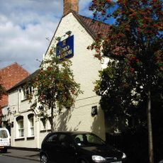
Lord Nelson Public House
391 m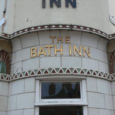
Bath Inn Public House
541 m
Great Northern Warehouse At London Road Railway Station
515 m
53, Stoney Street
697 m
10, Short Hill
687 m
Warehouses On The West And North Sides Of Trivet Square
675 m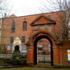
Gateway 20 Metres East Of St Mary's School
641 m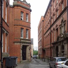
Mills Building
694 m
2, Short Hill
659 m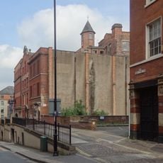
Retaining Wall, Steps And Railings Bordering Hollow Stone
689 m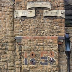
Town Mission Ragged School And Attached Boundary Wall And Railings
535 m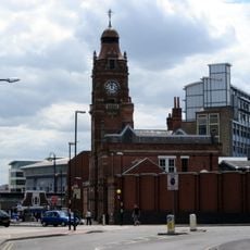
Victoria Leisure Centre, Nottingham
553 m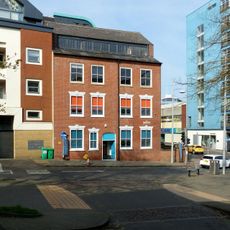
23 And 23A, Barker Gate
641 mRecensioni
Ha visitato questo luogo? Tocchi le stelle per valutarlo e condividere la Sua esperienza o foto con la community! Provalo ora! Puoi annullarlo in qualsiasi momento.
Scopri tesori nascosti ad ogni viaggio!
Da piccoli caffè caratteristici a panorami nascosti, fuggi dalla folla e scova i posti che fanno davvero per te. La nostra app ti semplifica tutto: ricerca vocale, filtri furbi, percorsi ottimizzati e dritte autentiche da viaggiatori di tutto il mondo. Scaricala subito per vivere l'avventura sul tuo smartphone!

Un nuovo approccio alla scoperta turistica❞
— Le Figaro
Tutti i luoghi che meritano di essere esplorati❞
— France Info
Un’escursione su misura in pochi clic❞
— 20 Minutes