
Nos 15-21 Including Front Area Railings, building in Pembury, Tunbridge Wells, Kent, UK
Posizione: Pembury
Coordinate GPS: 51.14282,0.32000
Ultimo aggiornamento: 21 novembre 2025 alle 05:20
St Anselm's Church, Pembury
232 m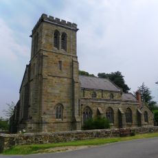
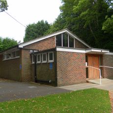
Upper Church of St Peter
238 m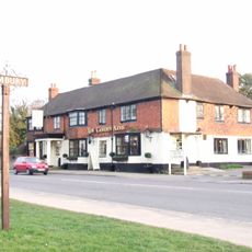
The Camden Arms
121 m
Myrtle Cottage
778 m
The Lodge
178 m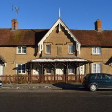
The Almshouses
216 m
Hazelwood
1.3 km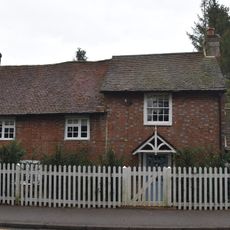
Poppingbury
577 m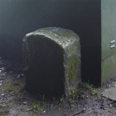
Milestone, High Street, opp. Cornford Lane, E of Woodsgate Way
427 m
Pembury Grange
1.3 km
No 5, Gates House Including Front Area Railings
157 m
Men of Pembury War Memorial
197 m
Chippings
919 m
Knights Place
659 m
Queens Folly
972 m
Chapel At Pembury Hospital
1.2 km
Carthouse Approximately 40 Metres West Of Chalket Farmhouse
466 m
Baileys Farm Cottages
712 m
51, Lower Green Road
549 m
Stantons
1.2 km
The Manor House Including Front Garden Walls
124 m
Chalket Farmhouse
453 m
Pembury County Primary School (Old School) Including Front Boundary Wall
1.1 km
Churchyard Walls Belonging To The Upper Church Of St Peter
241 m
Rose Cottage
796 m
38, Henwood Green Road
723 m
Baileys Farmhouse
697 m
Coates The Butchers
32 mRecensioni
Ha visitato questo luogo? Tocchi le stelle per valutarlo e condividere la Sua esperienza o foto con la community! Provalo ora! Puoi annullarlo in qualsiasi momento.
Scopri tesori nascosti ad ogni viaggio!
Da piccoli caffè caratteristici a panorami nascosti, fuggi dalla folla e scova i posti che fanno davvero per te. La nostra app ti semplifica tutto: ricerca vocale, filtri furbi, percorsi ottimizzati e dritte autentiche da viaggiatori di tutto il mondo. Scaricala subito per vivere l'avventura sul tuo smartphone!

Un nuovo approccio alla scoperta turistica❞
— Le Figaro
Tutti i luoghi che meritano di essere esplorati❞
— France Info
Un’escursione su misura in pochi clic❞
— 20 Minutes