
Boundary Mark On Canal Towpath To South Of Castle Lock
Boundary Mark On Canal Towpath To South Of Castle Lock, boundary marker in City of Nottingham, Nottinghamshire, UK
Posizione: City of Nottingham
Parte di: political border
Coordinate GPS: 52.94782,-1.15202
Ultimo aggiornamento: 3 marzo 2025 alle 04:12

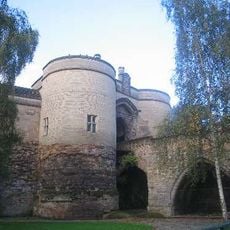
Castello di Nottingham
235 m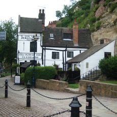
Ye Olde Trip To Jerusalem
170 m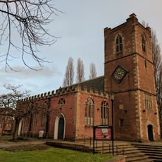
St Nicholas' Church, Nottingham
301 m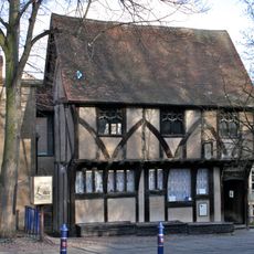
Severn's Building
297 m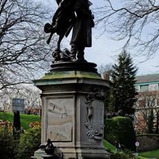
Statue of Captain Albert Ball
270 m
Castello di Nottingham
239 m
Nottingham Labour Exchange
77 m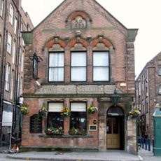
Fellows, Morton And Clayton Public House
257 m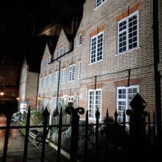
Brewhouse Yard Museum And Associated Caves
171 m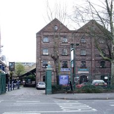
Canal House
236 m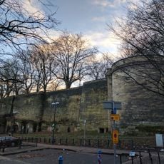
Nottingham Castle Outer Bailey Wall And Towers
190 m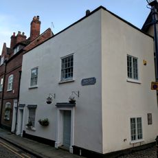
57-59, Castle Gate
305 m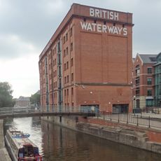
British Waterways Warehouse
114 m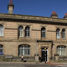
50 Carrington Street
295 m
55, Castle Gate
305 m
Castle Court
144 m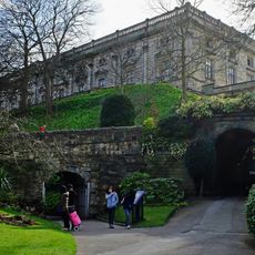
Nottingham Castle Middle Bridge Adjoining Archway And Porter's Lodge
276 m
Gateway And Railings To Canal Museum
251 m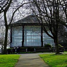
Bandstand And Railings 60 Metres North East Of The Castle Museum
227 m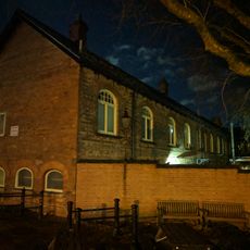
Nottingham Corporation Waterworks And Attached Area Railings
115 m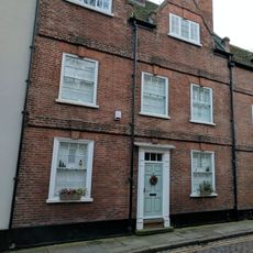
53, Castle Gate
306 m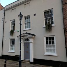
51, Castle Gate
306 m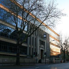
New Castle House
79 m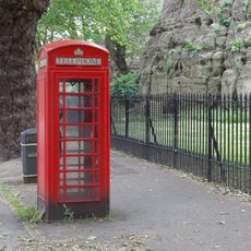
K6 Telephone Kiosk Opposite Newcastle House
137 m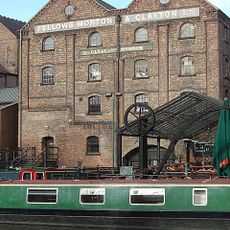
Two Wharf Cranes At Canal Museum
254 m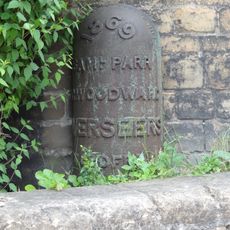
Boundary Mark At South East Corner Of Bailey Wall
191 m
Richmond House
179 m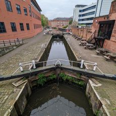
Castle Lock
16 mRecensioni
Ha visitato questo luogo? Tocchi le stelle per valutarlo e condividere la Sua esperienza o foto con la community! Provalo ora! Puoi annullarlo in qualsiasi momento.
Scopri tesori nascosti ad ogni viaggio!
Da piccoli caffè caratteristici a panorami nascosti, fuggi dalla folla e scova i posti che fanno davvero per te. La nostra app ti semplifica tutto: ricerca vocale, filtri furbi, percorsi ottimizzati e dritte autentiche da viaggiatori di tutto il mondo. Scaricala subito per vivere l'avventura sul tuo smartphone!

Un nuovo approccio alla scoperta turistica❞
— Le Figaro
Tutti i luoghi che meritano di essere esplorati❞
— France Info
Un’escursione su misura in pochi clic❞
— 20 Minutes