
12, High Street, building in Steeple Ashton, Wiltshire, UK
Posizione: Steeple Ashton
Coordinate GPS: 51.31264,-2.13758
Ultimo aggiornamento: 10 marzo 2025 alle 04:10

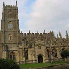
Church of St Mary the Virgin
148 m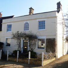
Church Street House
216 m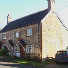
15 17, Church Street
200 m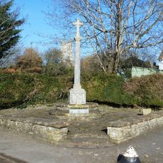
Steeple Ashton War Memorial
184 m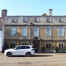
Ashton House
240 m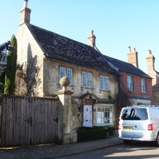
Steeple Ashton Post Office
215 m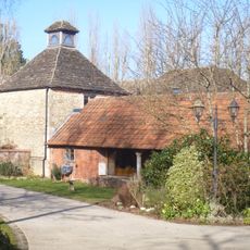
Stables And Shelter Shed At Manor Farm
231 m
The Market Cross
252 m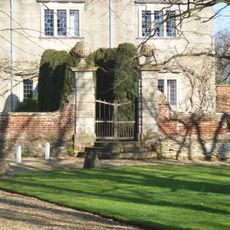
Front Walls And Gate Piers At The Manor House
206 m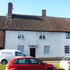
36, High Street
261 m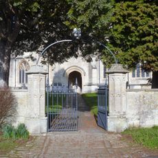
Gate Piers And Gates To South Entrance To Churchyard Of Church Of St Mary
140 m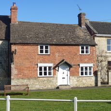
17, High Street
241 m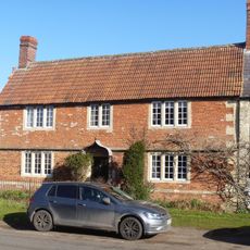
11, High Street
209 m
Church Farmhouse
56 m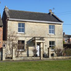
Sundial House
252 m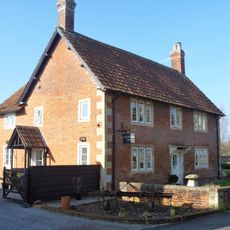
Moorfield Farmhouse
137 m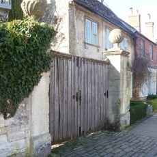
Walls And Gate Piers To Right Of Ashton House
231 m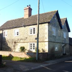
The Old Farmhouse
90 m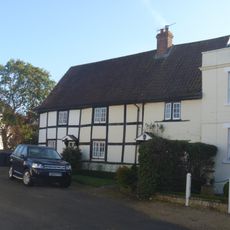
2 4, The Strand
219 m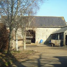
Barn At Manor Farm
269 m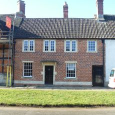
38, High Street
267 m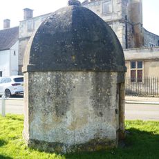
Blind House
248 m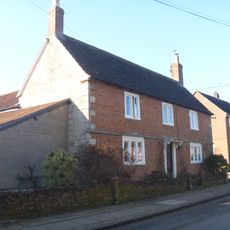
Bartletts Farmhouse
20 m
Thorn House
115 m
20 22, High Street
143 m
18, The Strand
236 m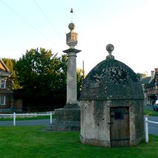
Lock up and market cross on the green
247 m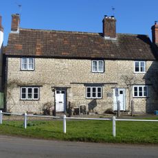
13 15, High Street
231 mRecensioni
Ha visitato questo luogo? Tocchi le stelle per valutarlo e condividere la Sua esperienza o foto con la community! Provalo ora! Puoi annullarlo in qualsiasi momento.
Scopri tesori nascosti ad ogni viaggio!
Da piccoli caffè caratteristici a panorami nascosti, fuggi dalla folla e scova i posti che fanno davvero per te. La nostra app ti semplifica tutto: ricerca vocale, filtri furbi, percorsi ottimizzati e dritte autentiche da viaggiatori di tutto il mondo. Scaricala subito per vivere l'avventura sul tuo smartphone!

Un nuovo approccio alla scoperta turistica❞
— Le Figaro
Tutti i luoghi che meritano di essere esplorati❞
— France Info
Un’escursione su misura in pochi clic❞
— 20 Minutes