
Raised Pavement And Railings, Running From Number 10 To Just South Of Railway Viaduct
Raised Pavement And Railings, Running From Number 10 To Just South Of Railway Viaduct, pavement in Stroud, Stroud, Gloucestershire, UK
Posizione: Stroud
Coordinate GPS: 51.74499,-2.21959
Ultimo aggiornamento: 21 novembre 2025 alle 04:06
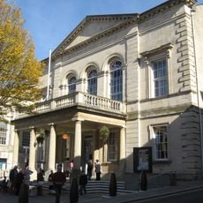
Stroud Subscription Rooms
171 m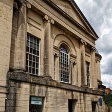
Congregational Church
153 m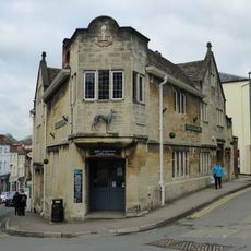
The Greyhound Inn Public House
212 m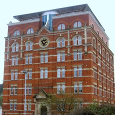
Hill Paul building
123 m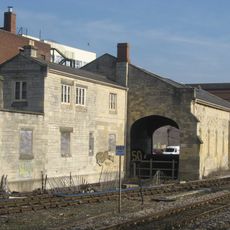
The Goods Shed
205 m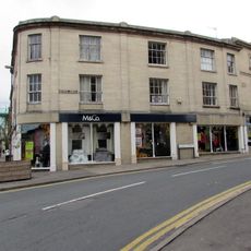
The Cooperative Stores
84 m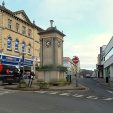
Clock Tower
159 m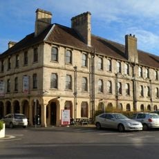
Imperial Hotel
52 m
Three K6 Telephone Kiosks, Junction Of Russell Street And George Street
142 m
District Council Offices
210 m
K6 Telephone Kiosk, High Street
208 m
2, 3 And 3A, High Street
191 m
9 And 10, High Street
202 m
Numbers 1 to 10 (consecutive) including iron railings to areas of Numbers 1, 2, 3 and 6
13 m
11, Rowcroft
53 m
67, High Street
210 m
9, George Street
137 m
Sunday School
147 m
58, London Road
194 m
26 And 27, Bath Place
163 m
4 And 5, George Street
128 m
23 And 25, King Street
151 m
Wallbridge Warehouse
132 m
2-20, Kendrick Street
174 m
Vue Stroud
201 m
3, King Street Parade
108 m
11, High Street
203 m
George Holloway statue
43 mRecensioni
Ha visitato questo luogo? Tocchi le stelle per valutarlo e condividere la Sua esperienza o foto con la community! Provalo ora! Puoi annullarlo in qualsiasi momento.
Scopri tesori nascosti ad ogni viaggio!
Da piccoli caffè caratteristici a panorami nascosti, fuggi dalla folla e scova i posti che fanno davvero per te. La nostra app ti semplifica tutto: ricerca vocale, filtri furbi, percorsi ottimizzati e dritte autentiche da viaggiatori di tutto il mondo. Scaricala subito per vivere l'avventura sul tuo smartphone!

Un nuovo approccio alla scoperta turistica❞
— Le Figaro
Tutti i luoghi che meritano di essere esplorati❞
— France Info
Un’escursione su misura in pochi clic❞
— 20 Minutes