
Cart Shed, Stables And Loft And Byre East Of High Woodfield Farmhouse
Cart Shed, Stables And Loft And Byre East Of High Woodfield Farmhouse, buildings in Crook, County Durham, England, UK
Posizione: County Durham
Coordinate GPS: 54.71015,-1.77821
Ultimo aggiornamento: 20 maggio 2025 alle 12:43
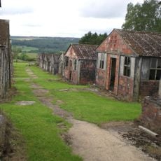
Harperley POW Camp 93
1.7 km
Witton-le-Wear
4.1 km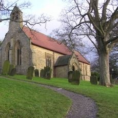
Church of St Philip and St James
3.8 km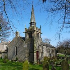
Church of St Bartholomew
3.5 km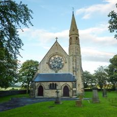
Church of St Philip and St James
4.4 km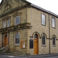
Central Methodist Church
2.3 km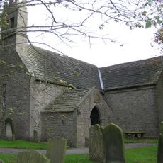
Church of St James
4.5 km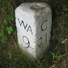
Milestone Circa 100 Metres South Of Junction With Track To Park Wall Farm, In Lay By
3.1 km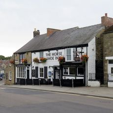
The Horse Shoe Inn
2.3 km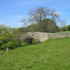
Bradley Burn Bridge
4 km
Post Office
3.8 km
Thornley War Memorial
3.7 km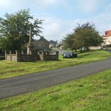
Hamsterley War Memorial
4.7 km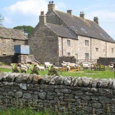
Low Harperley Farmhouse
2.4 km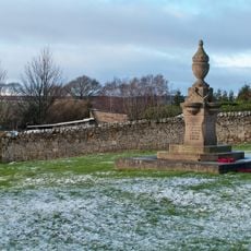
Fir Tree War Memorial Drinking Fountain
698 m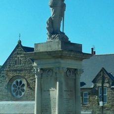
Billy Row War Memorial
2.8 km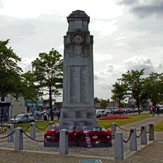
War Memorial, Piers and Chain
2.2 km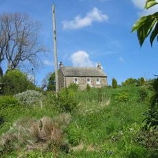
Old Park Farmhouse And Well House Attached
3.4 km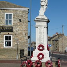
War Memorial
4.3 km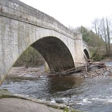
Witton Bridge
4.3 km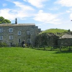
Bradley Hall Farmhouse
3.7 km
Bradley Burn Farmhouse
4 km
Former Schools
3.5 km
Bradley Hall fortified house and underground passages, moated site, pillow mound and fishponds
3.7 km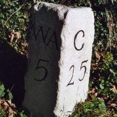
Milestone North Of Witton Le Wear
2.9 km
Witton-le-Wear
4.1 km
Fir Tree
1.3 km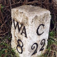
Helme Park, Fir Tree
2.1 kmRecensioni
Ha visitato questo luogo? Tocchi le stelle per valutarlo e condividere la Sua esperienza o foto con la community! Provalo ora! Puoi annullarlo in qualsiasi momento.
Scopri tesori nascosti ad ogni viaggio!
Da piccoli caffè caratteristici a panorami nascosti, fuggi dalla folla e scova i posti che fanno davvero per te. La nostra app ti semplifica tutto: ricerca vocale, filtri furbi, percorsi ottimizzati e dritte autentiche da viaggiatori di tutto il mondo. Scaricala subito per vivere l'avventura sul tuo smartphone!

Un nuovo approccio alla scoperta turistica❞
— Le Figaro
Tutti i luoghi che meritano di essere esplorati❞
— France Info
Un’escursione su misura in pochi clic❞
— 20 Minutes