Well Cottage, cottage in Ogbourne St. Andrew, Wiltshire, UK
Posizione: Ogbourne St Andrew
Coordinate GPS: 51.44295,-1.73384
Ultimo aggiornamento: 25 novembre 2023 alle 01:30
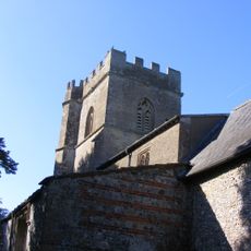
Church of St Andrew
800 m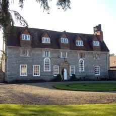
Ogbourne Maisey House
31 m
Old Cottage
763 m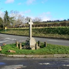
Ogbourne St Andrew War Memorial
683 m
Sunrise Cottage
715 m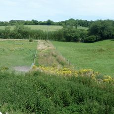
Dam of King's fishpond
1.9 km
The Haven
23 m
Pair Of Large Monuments In Churchyard, 9 Metres South Of Chancel, Church Of St Andrew
789 m
The Thatch
761 m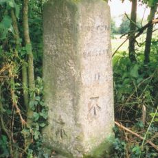
Milestone At Ngr 179172
1.6 km
Granary At East Holm Farm
848 m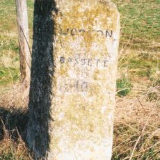
Milestone 60 Metres South Of Manton House Driveway
1.8 km
Mound in churchyard
801 m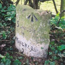
Milestone, East Of Village Centre
926 m
Poughcombe Farmhouse
881 m
Tresco House
518 m
South View
694 m
East Holm Farmhouse
874 m
Bowl barrow 800m south-east of Ogbourne St.Andrew Farm
1.2 km
Churchyard Wall, Church Of St Andrew
822 m
Unidentified Monument, 14 Metres North East Of Chancel, Church Of St Andrew
811 m
Group Of Four Goddard And Associated Monuments In Churchyard, 3 Metres To 7 Metres North Of Chancel, Church Of St Andrew
805 m
The Thatch
111 m
Marlborough Golf Course
1.3 km
Bell barrow and adjacent bowl barrow on Marlborough Common, 120m east of Wootton Bassett Road
1.4 km
The Forge
698 m
Gatepiers To Ogbourne Maisey House
130 m
Enclosure on Ogbourne Down
1.8 kmRecensioni
Ha visitato questo luogo? Tocchi le stelle per valutarlo e condividere la Sua esperienza o foto con la community! Provalo ora! Puoi annullarlo in qualsiasi momento.
Scopri tesori nascosti ad ogni viaggio!
Da piccoli caffè caratteristici a panorami nascosti, fuggi dalla folla e scova i posti che fanno davvero per te. La nostra app ti semplifica tutto: ricerca vocale, filtri furbi, percorsi ottimizzati e dritte autentiche da viaggiatori di tutto il mondo. Scaricala subito per vivere l'avventura sul tuo smartphone!

Un nuovo approccio alla scoperta turistica❞
— Le Figaro
Tutti i luoghi che meritano di essere esplorati❞
— France Info
Un’escursione su misura in pochi clic❞
— 20 Minutes