
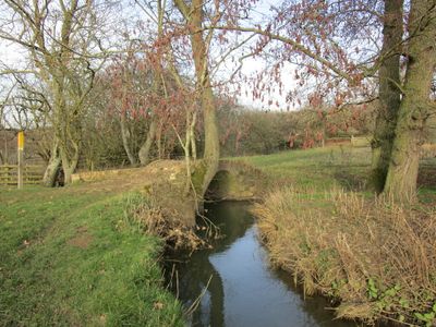
Carr Bridge, bridge in Hungarton, Harborough, Leicestershire, UK
Posizione: Hungarton
Coordinate GPS: 52.67030,-0.95598
Ultimo aggiornamento: 2 marzo 2025 alle 23:27
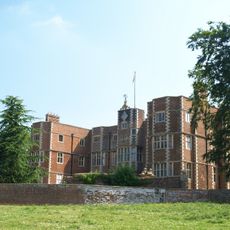
Quenby Hall
2.2 km
Burrough Court
4.6 km
Baggrave Hall
942 m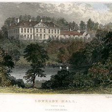
Lowesby Hall
1.8 km
Ashby Folville Manor
3.3 km
All Saints Church, Beeby
4.3 km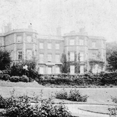
Gaddesby Hall
4.9 km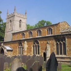
St Mary's Church, Ashby Folville
3.4 km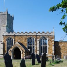
Church of St Andrew
2.7 km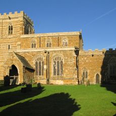
Church of All Saints
2 km
Church of St John the Baptist
2.1 km
Church of St Peter
4.7 km
Church of St John the Baptist
2.3 km
Church of All Saints
4.2 km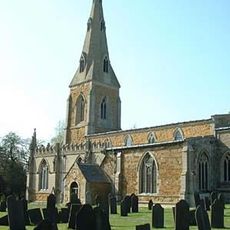
Church of St Luke
4.8 km
Church of St Michael
4 km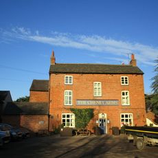
The Cheney Arms
4.8 km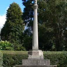
Hungarton War Memorial
2.1 km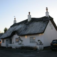
White Cottage And Adjoining Dairy
2.8 km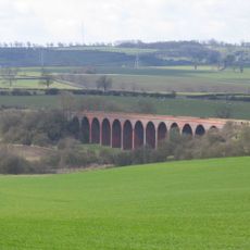
John O'Gaunt railway viaduct
3.5 km
The Vicarage
3.4 km
The Bedehouses
3.4 km
North Manor Farmhouse
2.3 km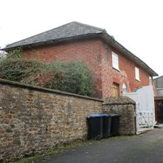
Coach House At Rodhill Farm
4.8 km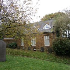
Old School
4.7 km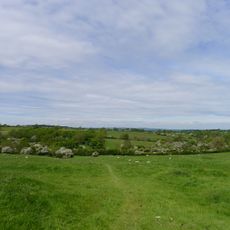
Moated site and deserted medieval village at Old Ingarsby
4.1 km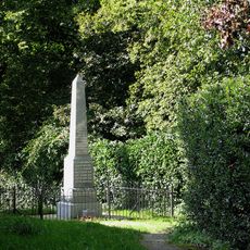
Gaddesby war memorial and associated railings
4.8 km
Quenby Lodge Farmhouse
1.9 kmRecensioni
Ha visitato questo luogo? Tocchi le stelle per valutarlo e condividere la Sua esperienza o foto con la community! Provalo ora! Puoi annullarlo in qualsiasi momento.
Scopri tesori nascosti ad ogni viaggio!
Da piccoli caffè caratteristici a panorami nascosti, fuggi dalla folla e scova i posti che fanno davvero per te. La nostra app ti semplifica tutto: ricerca vocale, filtri furbi, percorsi ottimizzati e dritte autentiche da viaggiatori di tutto il mondo. Scaricala subito per vivere l'avventura sul tuo smartphone!

Un nuovo approccio alla scoperta turistica❞
— Le Figaro
Tutti i luoghi che meritano di essere esplorati❞
— France Info
Un’escursione su misura in pochi clic❞
— 20 Minutes