
509 And 511, Liverpool Road, building in Islington, Greater London, UK
Posizione: London Borough of Islington
Coordinate GPS: 51.54856,-0.11048
Ultimo aggiornamento: 13 giugno 2025 alle 17:58

Union Chapel, Islington
699 m
The Garage, London
501 m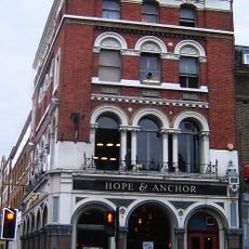
Hope and Anchor, Islington
767 m
Estorick Collection of Modern Italian Art
892 m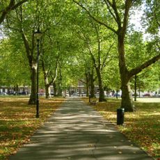
Highbury Fields
640 m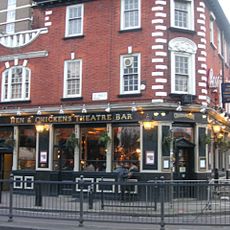
Hen and Chickens Theatre
669 m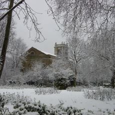
St Mary Magdalene Church, Holloway Road
176 m
Barnsbury Wood
809 m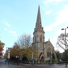
St Luke's Church
871 m
Caledonian Road Methodist Church
582 m
Islington Central Library
241 m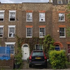
36, Islington Park Street
754 m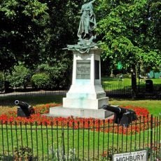
Boer War Memorial And Flanking Cannon
544 m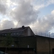
Pentonville Prison, A, B, C And D Wings, And Chapel Wing
586 m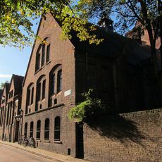
Former Sunday School, Lecture Hall And Vestry Block To Union Chapel
706 m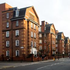
Samuel Lewis Buildings, Flats 301 To 345
569 m
The Lamb Tavern Public House
823 m
Northampton Lodge
863 m
Numbers 5-17 (Odd) And Attached Railings
776 m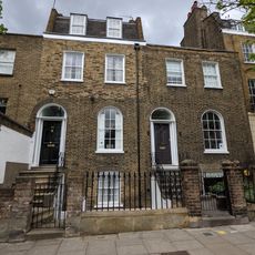
Numbers 291 And 293 And Attached Railings
822 m
315-327, Liverpool Road
730 m
Numbers 1-2 And Attached Railings
596 m
Carrick House, Caledonian Estate And Attached Railings
568 m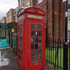
K2 Telephone Kiosk To North Of Tyndale Mansions
867 m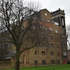
School Of Audio Engineering
219 m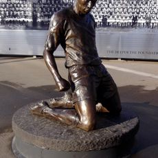
Statue of Thierry Henry
619 m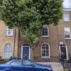
Number 3 And Attached Railings
778 m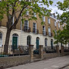
Numbers 295 To 305 (Odd) And Attached Railings
800 mRecensioni
Ha visitato questo luogo? Tocchi le stelle per valutarlo e condividere la Sua esperienza o foto con la community! Provalo ora! Puoi annullarlo in qualsiasi momento.
Scopri tesori nascosti ad ogni viaggio!
Da piccoli caffè caratteristici a panorami nascosti, fuggi dalla folla e scova i posti che fanno davvero per te. La nostra app ti semplifica tutto: ricerca vocale, filtri furbi, percorsi ottimizzati e dritte autentiche da viaggiatori di tutto il mondo. Scaricala subito per vivere l'avventura sul tuo smartphone!

Un nuovo approccio alla scoperta turistica❞
— Le Figaro
Tutti i luoghi che meritano di essere esplorati❞
— France Info
Un’escursione su misura in pochi clic❞
— 20 Minutes