
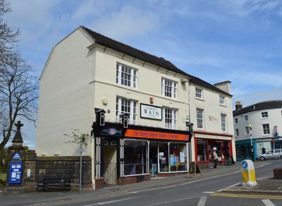
26, High Street, building in Newcastle-under-Lyme, Staffordshire, UK
Posizione: Newcastle-under-Lyme
Coordinate GPS: 53.01176,-2.22901
Ultimo aggiornamento: 3 marzo 2025 alle 15:42
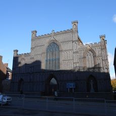
Roman Catholic Church of the Holy Trinity and War Memorial
497 m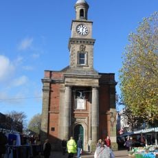
Newcastle-under-Lyme Guildhall
180 m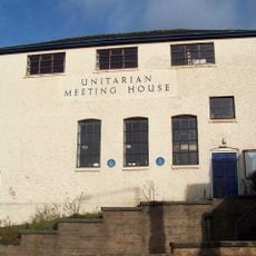
Old Unitarian Meeting House
91 m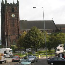
Church of St Giles
61 m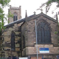
Church of St George
417 m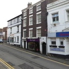
3 and 5, Church Street
51 m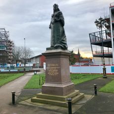
Statue of Queen Victoria
290 m
Vue Newcastle-under-Lyme
237 m
12, King Street
481 m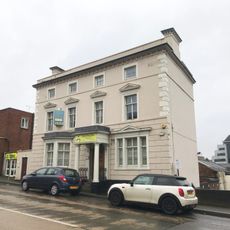
Bradwell House
531 m
31, Ironmarket
244 m
Queen's Chambers
378 m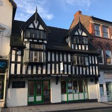
14 And 16, High Street
32 m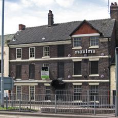
Maxims Wine Bar
156 m
Former Veterinary Surgery Adjoining Numbers 6 And 8
408 m
51, High Street
174 m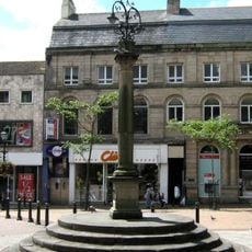
Market Cross
156 m
25, Ironmarket
182 m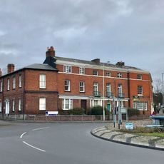
1 and 2, Nelson Place
379 m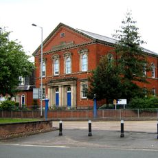
Ebenezer House
310 m
Brampton House
464 m
3, King Street
428 m
8, King Street
459 m
85, High Street
311 m
6 And 8, Queen Street
424 m
Old Orme Boys' Primary School
241 m
Carlton House
58 m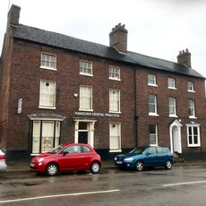
10, King Street
470 mRecensioni
Ha visitato questo luogo? Tocchi le stelle per valutarlo e condividere la Sua esperienza o foto con la community! Provalo ora! Puoi annullarlo in qualsiasi momento.
Scopri tesori nascosti ad ogni viaggio!
Da piccoli caffè caratteristici a panorami nascosti, fuggi dalla folla e scova i posti che fanno davvero per te. La nostra app ti semplifica tutto: ricerca vocale, filtri furbi, percorsi ottimizzati e dritte autentiche da viaggiatori di tutto il mondo. Scaricala subito per vivere l'avventura sul tuo smartphone!

Un nuovo approccio alla scoperta turistica❞
— Le Figaro
Tutti i luoghi che meritano di essere esplorati❞
— France Info
Un’escursione su misura in pochi clic❞
— 20 Minutes