
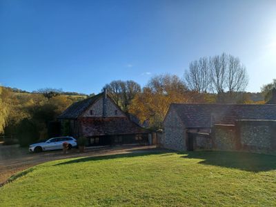
L Plan Range Of Farm Buildings To North East Of Church Farmhouse
L Plan Range Of Farm Buildings To North East Of Church Farmhouse, agricultural structure in Hughenden, Wycombe, Buckinghamshire, UK
Posizione: Hughenden
Coordinate GPS: 51.65539,-0.75028
Ultimo aggiornamento: 9 marzo 2025 alle 21:36
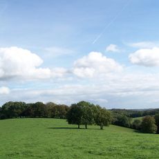
Chiltern Hills
11.6 km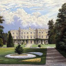
Hughenden Manor
740 m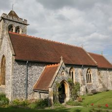
St Michael and All Angels Church, Hughenden
411 m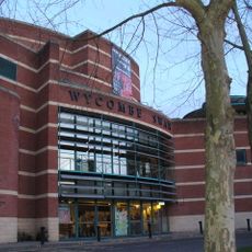
Wycombe Swan
3 km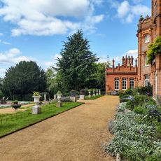
National Trust - Hughenden
621 m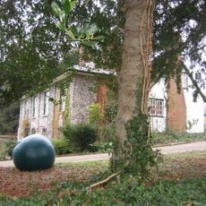
Wycombe Museum
2.7 km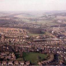
Desborough Castle
3.2 km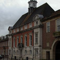
Former Town Hall
3.1 km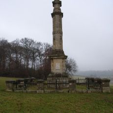
Disraeli Monument
1.6 km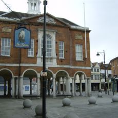
High Wycombe Guildhall
2.9 km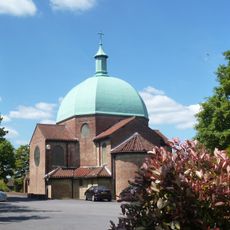
Church of St Mary and St George
3 km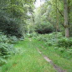
Naphill Common
2.8 km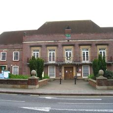
Municipal Offices, High Wycombe
3.1 km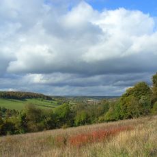
Millfield Wood
684 m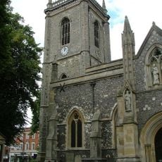
Church of All Saints, High Wycombe
2.8 km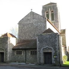
Church of Saint Francis
1.9 km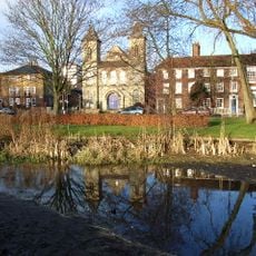
Trinity Congregational Church
3.2 km
The Falcon Hotel
2.9 km
The Polecat Public House
3.6 km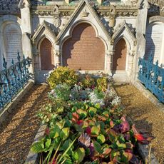
Monument To Disraeli Family, In Churchyard Against East Wall Of North Chapel
405 m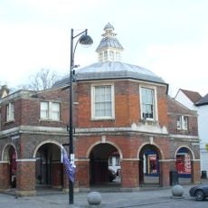
The Little Market House
2.9 km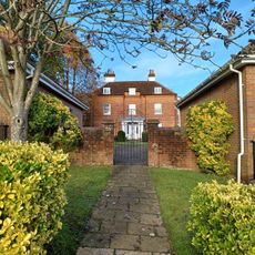
Loakes House
3.2 km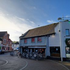
13, Pauls Row
3 km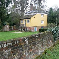
North Lodge West Wycombe Park
3.5 km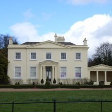
Brands House
965 m
Daphnes Temple West Wycombe Park
3.5 km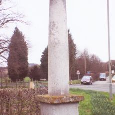
Stone Sign Post At East End Of Village Junction Of Roads To London Oxford And Aylesbury
3.4 km
Milestone, Church Square; opp. Guild Hall on Market building known as the Pepper Pot
2.9 kmRecensioni
Ha visitato questo luogo? Tocchi le stelle per valutarlo e condividere la Sua esperienza o foto con la community! Provalo ora! Puoi annullarlo in qualsiasi momento.
Scopri tesori nascosti ad ogni viaggio!
Da piccoli caffè caratteristici a panorami nascosti, fuggi dalla folla e scova i posti che fanno davvero per te. La nostra app ti semplifica tutto: ricerca vocale, filtri furbi, percorsi ottimizzati e dritte autentiche da viaggiatori di tutto il mondo. Scaricala subito per vivere l'avventura sul tuo smartphone!

Un nuovo approccio alla scoperta turistica❞
— Le Figaro
Tutti i luoghi che meritano di essere esplorati❞
— France Info
Un’escursione su misura in pochi clic❞
— 20 Minutes