
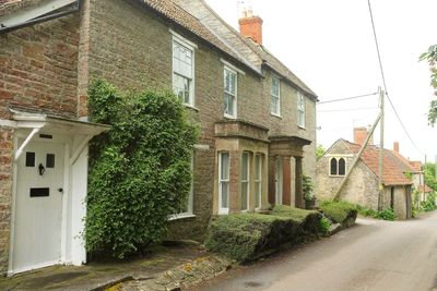
Court Hay, architectural structure in Charlton Mackrell, South Somerset, Somerset, UK
Posizione: The Charltons
Coordinate GPS: 51.05456,-2.66383
Ultimo aggiornamento: 3 marzo 2025 alle 03:01
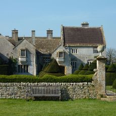
Lytes Cary
2 km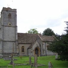
Church of St Peter and St Paul, Charlton Adam
131 m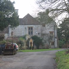
The Abbey, Charlton Adam
144 m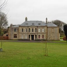
Charlton House
802 m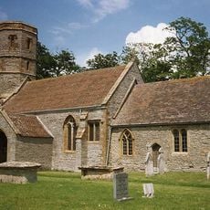
Church of St Peter
3.8 km
Wimble Toot
2.6 km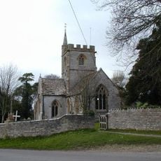
Church of St Mary
777 m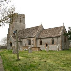
Church of the Holy Cross
2.6 km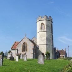
Church of St David
3.2 km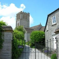
Church of All Saints
3.1 km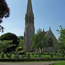
Church of All Saints
3 km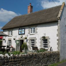
The Kingsdon Inn
3 km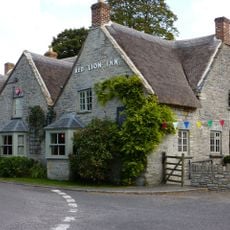
Red Lion Inn
2.9 km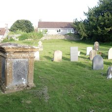
Hilbourne Monument In Churchyard About 4 Metres West South West Of Porch, Church Of All Saints
3.1 km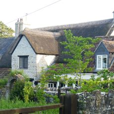
Oak Cottage
3 km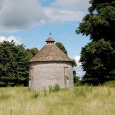
Water Tower, 135M North-East Of Lytes Cary
1.9 km
Park Farmhouse
3 km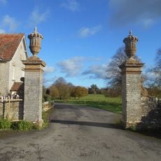
Gate Piers And Walls, About 375 Metres West Of Lytes Cary
2 km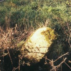
Milestone At Ngr St 5496 2852
1.4 km
37, Copper Beech Road
3.1 km
Duck decoy 700m WNW of Rookery Farm
1.7 km
Pair Of Gate Piers About 40 Metres East Of Lytes Cary
2 km
Kingsdon Manor School
3.3 km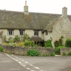
Stoneleigh Farmhouse
3.1 km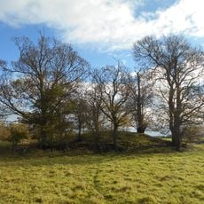
Bowl barrow known as `Wimble Toot'
2.5 km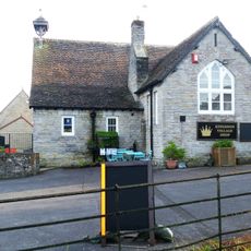
Kingsdon Church Of England Primary School And Toilet Block To South West Also Pump To East
3.1 km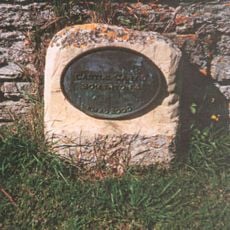
Milestone, Main Street, Keinton Mandeville
2.6 km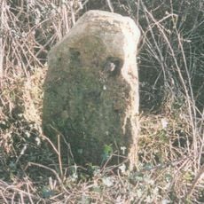
Milestone, jct with Westover Lane, nr Babcary
2.4 kmRecensioni
Ha visitato questo luogo? Tocchi le stelle per valutarlo e condividere la Sua esperienza o foto con la community! Provalo ora! Puoi annullarlo in qualsiasi momento.
Scopri tesori nascosti ad ogni viaggio!
Da piccoli caffè caratteristici a panorami nascosti, fuggi dalla folla e scova i posti che fanno davvero per te. La nostra app ti semplifica tutto: ricerca vocale, filtri furbi, percorsi ottimizzati e dritte autentiche da viaggiatori di tutto il mondo. Scaricala subito per vivere l'avventura sul tuo smartphone!

Un nuovo approccio alla scoperta turistica❞
— Le Figaro
Tutti i luoghi che meritano di essere esplorati❞
— France Info
Un’escursione su misura in pochi clic❞
— 20 Minutes