Malmains, building in Pluckley, Ashford, Kent, UK
Posizione: Pluckley
Coordinate GPS: 51.16760,0.76063
Ultimo aggiornamento: 25 novembre 2023 alle 01:31
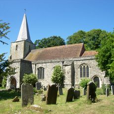
Church of St Nicholas
906 m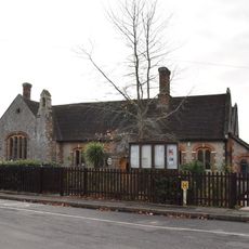
Pluckley Church Of England Primary School
958 m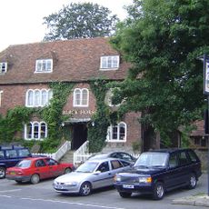
The Black Horse Inn
1 km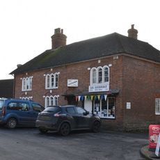
Premises Occupied By A G Homewood Butcher Street House
983 m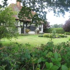
Gore Court
588 m
Snagsmount
862 m
Dowle Street Cottages
925 m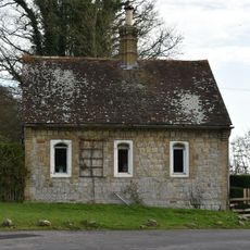
Gate Lodge To Former Surrenden Dering, 300 Metres To South East Of Church Of St Nicholas, Pluckley
802 m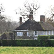
Rose Court
506 m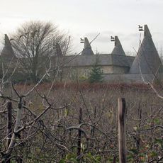
Granary And Oasthouse To The South-west Of Sheerland Farmhouse
934 m
Former Forge In Grounds Of Forge Cottage
957 m
Gate Lodge To Former Surrenden Dering, About 250 Metres South West Of Surrenden House
811 m
Saracen's Cottage
786 m
Dowle Street Farmhouse
923 m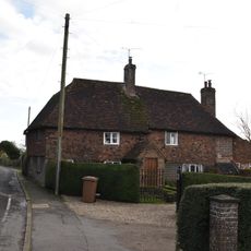
Fir Tree Cottage
884 m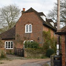
Yew Tree Cottage
926 m
Stables To The North East Of Sheerland House
863 m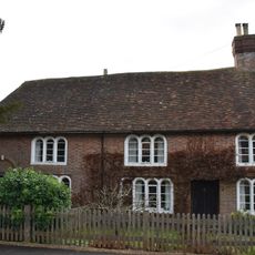
Church Gates Church Gates Cottage
941 m
Corner House And Church Gates
954 m
Sheerland Farmhouse
829 m
Stone Barn To The East Of Sheerland House
890 m
Forge Cottage
970 m
Millpond Hill Cottages
290 m
Forge Hill House
986 m
Lambden House
990 m
Surrenden Farmhouse
991 m
Sheerland House
998 m
1 and 2 Mill Pond Cottages
234 mRecensioni
Ha visitato questo luogo? Tocchi le stelle per valutarlo e condividere la Sua esperienza o foto con la community! Provalo ora! Puoi annullarlo in qualsiasi momento.
Scopri tesori nascosti ad ogni viaggio!
Da piccoli caffè caratteristici a panorami nascosti, fuggi dalla folla e scova i posti che fanno davvero per te. La nostra app ti semplifica tutto: ricerca vocale, filtri furbi, percorsi ottimizzati e dritte autentiche da viaggiatori di tutto il mondo. Scaricala subito per vivere l'avventura sul tuo smartphone!

Un nuovo approccio alla scoperta turistica❞
— Le Figaro
Tutti i luoghi che meritano di essere esplorati❞
— France Info
Un’escursione su misura in pochi clic❞
— 20 Minutes