
Farringdon Hurst, architectural structure in Farringdon, East Hampshire, Hampshire, UK
Posizione: Farringdon
Coordinate GPS: 51.11300,-0.99470
Ultimo aggiornamento: 23 novembre 2025 alle 00:50
Farringdon Church Of England Primary School And Village Hall
716 m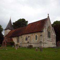
Church of All Saints
775 m
Table Tomb 2 Metres South Of The Church Tower
765 m
Holly Cottage
679 m
West Cross Cottage
721 m
Thatched Cottage
762 m
Hawthorn Cottage
677 m
Jordans
598 m
Bunkers Cottage
801 m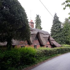
Cruck Cottage
687 m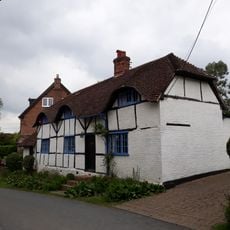
Angerton
696 m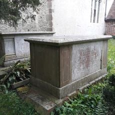
Table Tomb 4 Metres South Of The Church Tower
772 m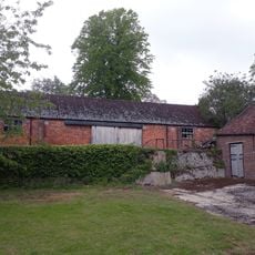
Barn 100 Metres South-West Of Manor House Farmhouse
600 m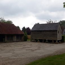
Granary 50 Metres South Of Manor House Farmhouse
695 m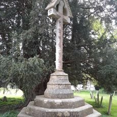
Churchyard Cross 10 Metres South Of The Church
803 m
The Forge And Little Forge Cottage
269 m
The Old Barn
250 m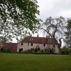
Manor House Farmhouse
711 m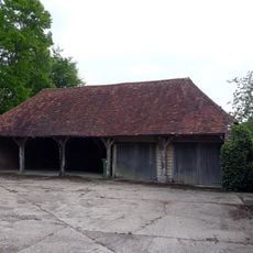
Cartshed 60 Metres South Of Manor House Farmhouse
710 m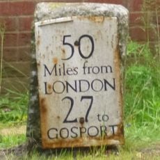
Milestone, Lower Farringdon (July 15 reported moved 50m to grass in front of new brick garage)
74 m
Church Green Cottage
706 m
Copelands Cottage
294 m
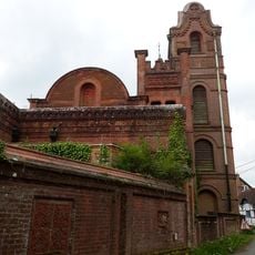
The Malthouse
218 m
Ivy Cottage
758 m
Thatchers Nook
795 m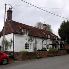
Berry Cottage
789 m
Street House Farmhouse
384 m
Tylers
640 mRecensioni
Ha visitato questo luogo? Tocchi le stelle per valutarlo e condividere la Sua esperienza o foto con la community! Provalo ora! Puoi annullarlo in qualsiasi momento.
Scopri tesori nascosti ad ogni viaggio!
Da piccoli caffè caratteristici a panorami nascosti, fuggi dalla folla e scova i posti che fanno davvero per te. La nostra app ti semplifica tutto: ricerca vocale, filtri furbi, percorsi ottimizzati e dritte autentiche da viaggiatori di tutto il mondo. Scaricala subito per vivere l'avventura sul tuo smartphone!

Un nuovo approccio alla scoperta turistica❞
— Le Figaro
Tutti i luoghi che meritano di essere esplorati❞
— France Info
Un’escursione su misura in pochi clic❞
— 20 Minutes