
14 And 16, The Street, building in Didmarton, Cotswold, Gloucestershire, UK
Posizione: Didmarton
Coordinate GPS: 51.58550,-2.25961
Ultimo aggiornamento: 26 marzo 2025 alle 21:48
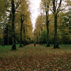
Westonbirt National Aboretum
3.3 km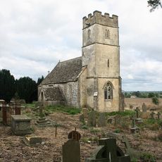
St Arild's Church, Oldbury-on-the-Hill
824 m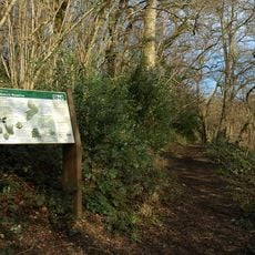
Midger
3.1 km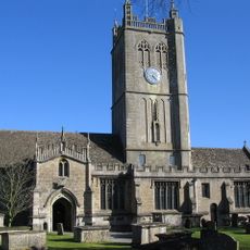
Church of the Holy Cross, Sherston
3.6 km
Swangrove
2.9 km
Upton Coombe
3.2 km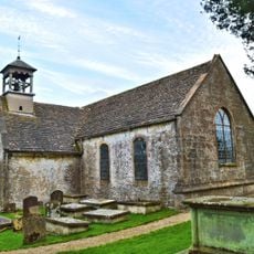
Church of St Lawrence
123 m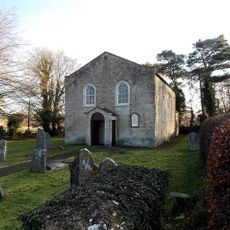
Congregational Church
206 m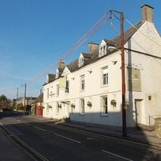
The Kings Arms
287 m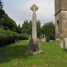
Sopworth War Memorial
1.3 km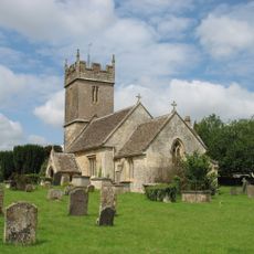
Church of St Mary
1.3 km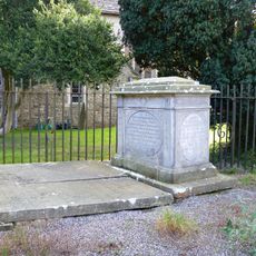
Estcourt Cresswell Enclosure In The Churchyard, 7 Metres North Of North Aisle, Church Of The Holy Cross
3.6 km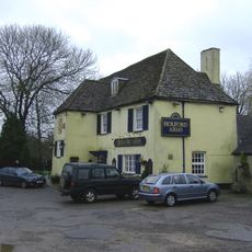
The Holford Arms
1.9 km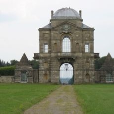
Worcester Lodge To Badminton Park
1.1 km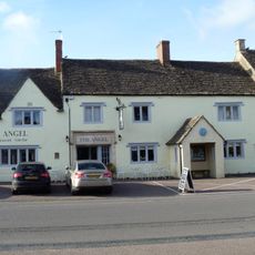
The Angel Hotel
3.6 km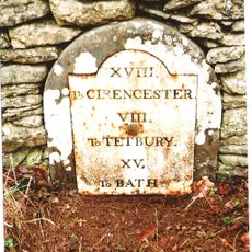
Milestone, 15 Yards To North East Of Dunkirk Farmhouse, At Ngr St 7912 8623
3.2 km
Milestone
2.8 km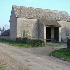
Lypiatt Barn
3.4 km
Milestone
1.6 km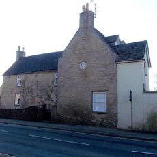
West End House
314 m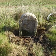
Milestone At Ngr 7933 8667
2.9 km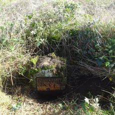
Milestone At Ngr 7980 8821
2.4 km
Milestone About 120 Metres North East Of Drive To The Old Rectory
3.5 km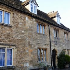
9,11, And 13, High Street
3.5 km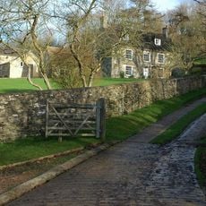
Upper Kilcott Farmhouse
2.8 km
Long barrow 335m north west of Starveall Farm
2.8 km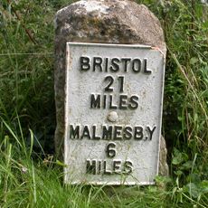
Milestone
3.5 km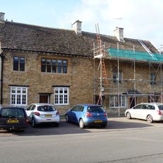
19 And 21, High Street
3.5 kmRecensioni
Ha visitato questo luogo? Tocchi le stelle per valutarlo e condividere la Sua esperienza o foto con la community! Provalo ora! Puoi annullarlo in qualsiasi momento.
Scopri tesori nascosti ad ogni viaggio!
Da piccoli caffè caratteristici a panorami nascosti, fuggi dalla folla e scova i posti che fanno davvero per te. La nostra app ti semplifica tutto: ricerca vocale, filtri furbi, percorsi ottimizzati e dritte autentiche da viaggiatori di tutto il mondo. Scaricala subito per vivere l'avventura sul tuo smartphone!

Un nuovo approccio alla scoperta turistica❞
— Le Figaro
Tutti i luoghi che meritano di essere esplorati❞
— France Info
Un’escursione su misura in pochi clic❞
— 20 Minutes