
Stableblock Circa 35 Metres West Of Park Farmhouse
Stableblock Circa 35 Metres West Of Park Farmhouse, agricultural structure in Barrington, Cotswold, Gloucestershire, UK
Posizione: Barrington
Coordinate GPS: 51.82146,-1.70038
Ultimo aggiornamento: 3 marzo 2025 alle 01:18

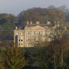
Barrington Park
384 m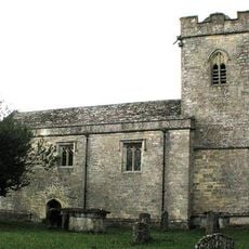
Church of St Peter
1.6 km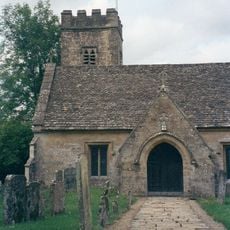
Church of St Peter
941 m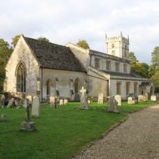
Church of St Mary
309 m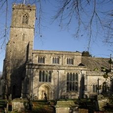
Church of St John the Evangelist
2.7 km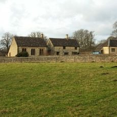
Reading Room
147 m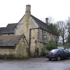
The Fox Inn
640 m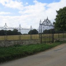
Clairvoyee, Gate And Piers Set Within The Eastern Boundary Wall Of Barrington Park
272 m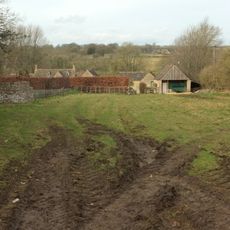
The Lower House
836 m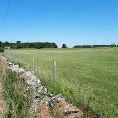
Windrush camp
2.9 km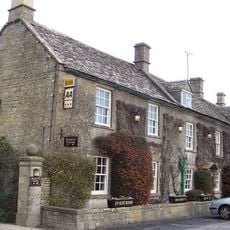
Inn For All Seasons
1.7 km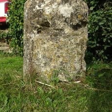
Milestone
1.6 km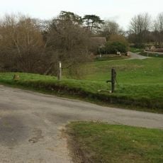
Village Pump And Stone Trough At The Western Corner Of The Green
965 m
Windrush Mill
1.5 km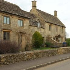
The Hollies
256 m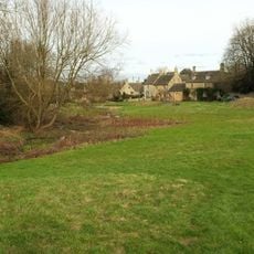
Dunford House
917 m
2, Minnow Lane
875 m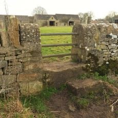
Pair Of Adjoining Barns Circa 4 Metres West Of Stable Block At Greendrive Farmhouse
966 m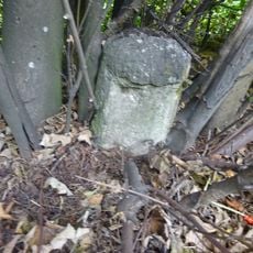
Milestone
1.9 km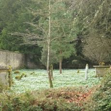
Walled Garden East Of The Church Of St Mary, Barrington Park
293 m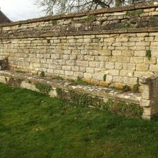
Wall Incorporating Stone Seat Forming The Northern Boundary To The Churchyard Of The Church Of St Mary
282 m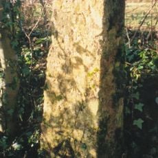
Milestone, 300m SW of Saracen Antiques & Upton Downs Farm
2.7 km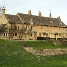
Green Close
952 m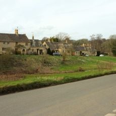
The Old Forge
899 m
Milestone
3.1 km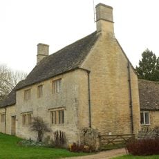
Village Farmhouse
996 m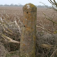
Milestone, Upton Lane
3.3 km
Milestone, Cat's Alley Barn, opp. jct to Westwell
3.1 kmRecensioni
Ha visitato questo luogo? Tocchi le stelle per valutarlo e condividere la Sua esperienza o foto con la community! Provalo ora! Puoi annullarlo in qualsiasi momento.
Scopri tesori nascosti ad ogni viaggio!
Da piccoli caffè caratteristici a panorami nascosti, fuggi dalla folla e scova i posti che fanno davvero per te. La nostra app ti semplifica tutto: ricerca vocale, filtri furbi, percorsi ottimizzati e dritte autentiche da viaggiatori di tutto il mondo. Scaricala subito per vivere l'avventura sul tuo smartphone!

Un nuovo approccio alla scoperta turistica❞
— Le Figaro
Tutti i luoghi che meritano di essere esplorati❞
— France Info
Un’escursione su misura in pochi clic❞
— 20 Minutes