
Road Bridge Over Ampney Brook, road bridge in Ampney Crucis, Cotswold, Gloucestershire, UK
Posizione: Ampney Crucis
Coordinate GPS: 51.71464,-1.90539
Ultimo aggiornamento: 23 settembre 2025 alle 17:56
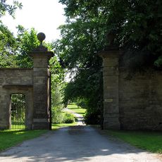
Ampney Park
220 m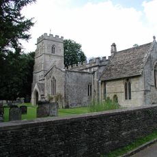
Church of the Holy Rood
177 m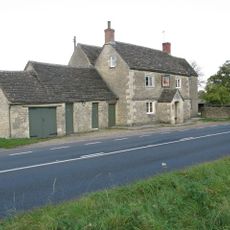
Red Lion
2.3 km
Church of St Mary
958 m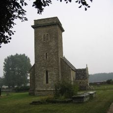
Church of St Mary
2.2 km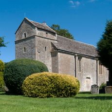
Church of St Peter
1.6 km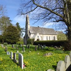
Church of St Michael and All Angels
3.4 km
Church of St Michael
1.4 km
Church of All Saints
2.4 km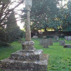
Cross in Churchyard of Church of the Holy Rood
161 m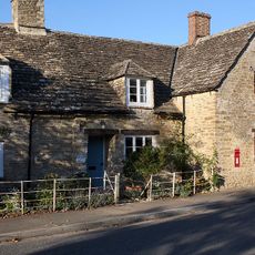
Letterbox Cottage Pear Tree Cottage
2.3 km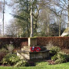
Ampney Crucis War Memorial
25 m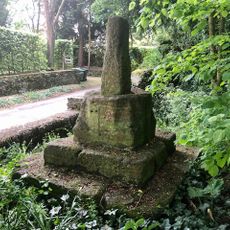
Wayside Cross at Ampney Crucis
118 m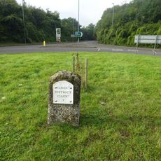
Milestone At Ngr Sp 036 027
3.1 km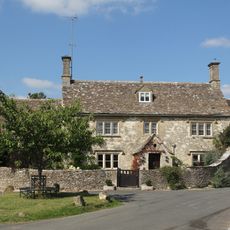
Cleeve House
1.5 km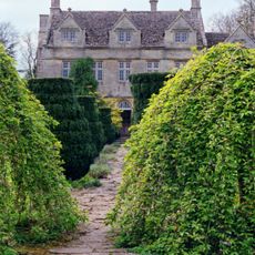
Barnsley House
3.3 km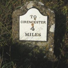
Milestone On Former Akeman Street
2.6 km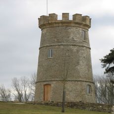
The Round House
3.2 km
Church Farmhouse
2.4 km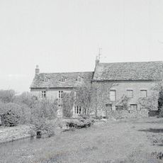
Preston Mill
3.1 km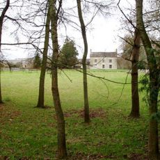
Norcote Farmhouse
2.1 km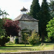
The Manor House
1.4 km
Ranbury Ring
2.5 km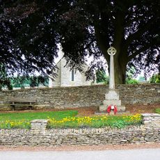
Driffield War Memorial, Gloucestershire
2.2 km
Milestone, Glebe Farm
2 km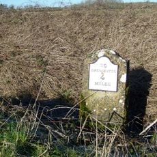
Milestone, Lower Field Farm; opp. farm
2.6 km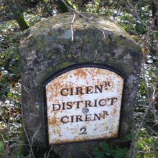
Milestone, E of jct A417
2 km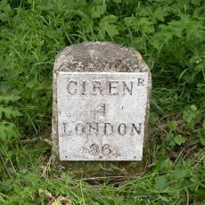
Milestone, 90m W Red Lion PH
2.2 kmRecensioni
Ha visitato questo luogo? Tocchi le stelle per valutarlo e condividere la Sua esperienza o foto con la community! Provalo ora! Puoi annullarlo in qualsiasi momento.
Scopri tesori nascosti ad ogni viaggio!
Da piccoli caffè caratteristici a panorami nascosti, fuggi dalla folla e scova i posti che fanno davvero per te. La nostra app ti semplifica tutto: ricerca vocale, filtri furbi, percorsi ottimizzati e dritte autentiche da viaggiatori di tutto il mondo. Scaricala subito per vivere l'avventura sul tuo smartphone!

Un nuovo approccio alla scoperta turistica❞
— Le Figaro
Tutti i luoghi che meritano di essere esplorati❞
— France Info
Un’escursione su misura in pochi clic❞
— 20 Minutes