
Coal Duty Boundary Marker, coal-tax post in Bexley, Greater London, UK
Posizione: London Borough of Bexley
Parte di: political border
Coordinate GPS: 51.44349,0.18058
Ultimo aggiornamento: 11 agosto 2025 alle 02:58
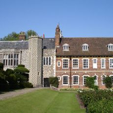
Hall Place and Gardens
1.5 km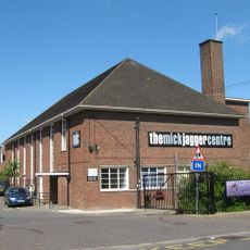
The Mick Jagger Centre
1.7 km
One Bell
1.2 km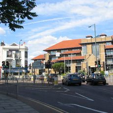
Bexley Civic Offices
2.3 km
Braeburn Park
615 m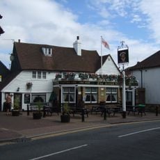
The King's Head Inn
2.1 km
Wansunt Pit
355 m
Crayford Town Hall
744 m
Church of St Paulinus, Crayford
1.3 km
Parish Church of St Mary the Virgin
1.9 km
Christ Church
1.5 km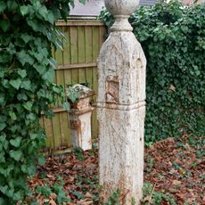
Coal Duty Boundary Marker (In The Fence To The Back Of The Garden Of Number 57 Baldwyn's Park) And Adjacent Iron Bollard
1.7 km
Former West Hill Police Station
2 km
Coal Duty Boundary Marker (On The South Side Of Number 1)
1.4 km
Crayford War Memorial
1.8 km
The Royal Oak Public House
2.3 km
The Long Shed (Part Of David Evans Limited Factory At Number 71)
1.1 km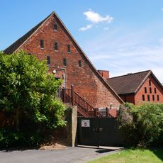
Barn At Hall Place
1.5 km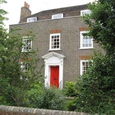
Cray House
2 km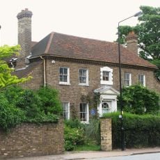
High Street House
1.9 km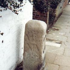
Milestone Opposite Nos 179 And 179A
1.1 km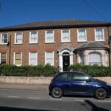
16, North Cray Road
2 km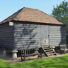
Granary Approximately 25 Metres South South East Of Hall Place
1.5 km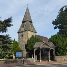
Lychgate to South West of Parish Church of St Mary the Virgin
1.9 km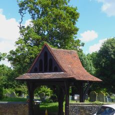
Lychgate to West of Parish Church of St Paulinus
1.3 km
Crayford Manor House
1.7 km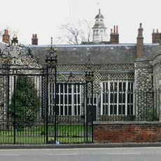
Garden Wall, Gatepiers And Gates To North Amd West Of Hall Place
1.6 km
The Oakwood
1.5 kmRecensioni
Ha visitato questo luogo? Tocchi le stelle per valutarlo e condividere la Sua esperienza o foto con la community! Provalo ora! Puoi annullarlo in qualsiasi momento.
Scopri tesori nascosti ad ogni viaggio!
Da piccoli caffè caratteristici a panorami nascosti, fuggi dalla folla e scova i posti che fanno davvero per te. La nostra app ti semplifica tutto: ricerca vocale, filtri furbi, percorsi ottimizzati e dritte autentiche da viaggiatori di tutto il mondo. Scaricala subito per vivere l'avventura sul tuo smartphone!

Un nuovo approccio alla scoperta turistica❞
— Le Figaro
Tutti i luoghi che meritano di essere esplorati❞
— France Info
Un’escursione su misura in pochi clic❞
— 20 Minutes