
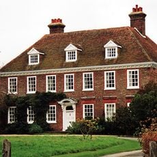
Stone Farmhouse, farmhouse in Warehorne, Ashford, Kent, UK
Posizione: Warehorne
Coordinate GPS: 51.06093,0.82510
Ultimo aggiornamento: 25 novembre 2023 alle 01:32
Leacon Hall
639 m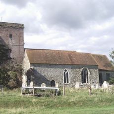
Church of St Matthew
987 m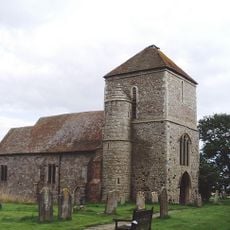
Church of St Mary
932 m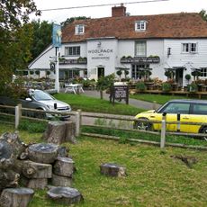
The Woolpack Inn
933 m
Kenardington
797 m
Bluebell Cottage
233 m
Place Farmhouse
857 m
Leacon Farmhouse
657 m
Headstone To Margaret Burges, About 4 Metres South Of Church Of St Matthew
996 m
Chest Tomb To Hodges Family, About 15 Metres South Of Church Of St Matthew
993 m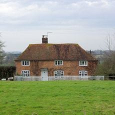
Mill House
505 m
Chest Tomb And Headstone About 15 Metres South West Of Church Of St Matthew
978 m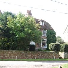
Church Farmhouse
1 km
The Leacon
561 m
House 30 Metres West Of Stone Farmhouse
52 m
Chest Tomb And Headstone 1 To 3 Metres South Of Church Of St Matthew
986 m
Chest Tomb About 50 Metres South West Of Church Of St Matthew
952 m
Headstone To Richard Jervis, About 10 Metres South West Of Church Of St Matthew
980 m
Churchfield Terrace
916 m
High House Farmhouse
781 m
Two Headstones To Down Family About 20 Metres South West Of Church Of St Matthew
977 m
Mountfield
953 m
1-4, the Green
946 m
Pilgrims Cottages
935 m
Chest Tomb To Hodges Family, About 2 Metres South Of Church Of St Matthew
991 m
Lilyfields
516 m
Tinton
769 m
Gold House
605 mRecensioni
Ha visitato questo luogo? Tocchi le stelle per valutarlo e condividere la Sua esperienza o foto con la community! Provalo ora! Puoi annullarlo in qualsiasi momento.
Scopri tesori nascosti ad ogni viaggio!
Da piccoli caffè caratteristici a panorami nascosti, fuggi dalla folla e scova i posti che fanno davvero per te. La nostra app ti semplifica tutto: ricerca vocale, filtri furbi, percorsi ottimizzati e dritte autentiche da viaggiatori di tutto il mondo. Scaricala subito per vivere l'avventura sul tuo smartphone!

Un nuovo approccio alla scoperta turistica❞
— Le Figaro
Tutti i luoghi che meritano di essere esplorati❞
— France Info
Un’escursione su misura in pochi clic❞
— 20 Minutes