
Starlings, building in Salfords and Sidlow, Reigate and Banstead, Surrey, UK
Posizione: Salfords and Sidlow
Coordinate GPS: 51.19980,-0.14243
Ultimo aggiornamento: 14 marzo 2025 alle 09:20
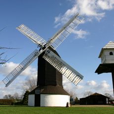
Outwood Windmill
2.9 km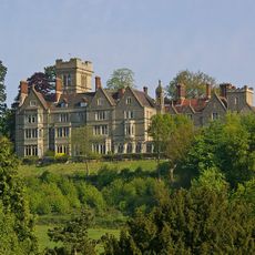
Nutfield Priory
4 km
St John's, Redhill
4.1 km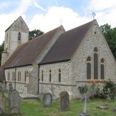
Church of St John the Baptist, Outwood
2.1 km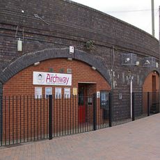
Archway Theatre
3.7 km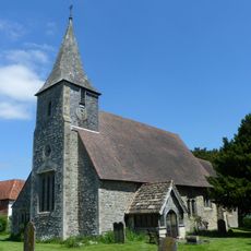
Church of St Mary the Virgin
4.2 km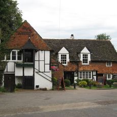
Ye Olde Six Bells
4.1 km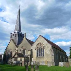
Church of St Bartholomew
4.1 km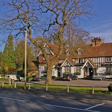
The Queens Head Public House
4.5 km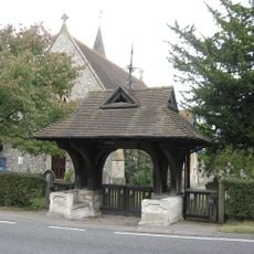
War Memorial Lych Gate, Emmanuel Church, Sidlow
4.1 km
Hamme House
2.6 km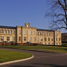
Workshop At Royal Earlswood Hospital
3.1 km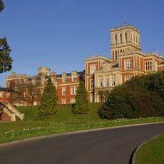
Royal Earlswood Hospital, Original Building (Blocks 13-21)
3.1 km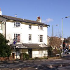
The Firs
4.2 km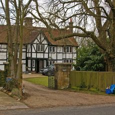
Kings Mill House
2.9 km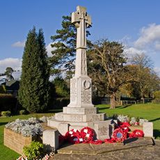
Horley War Memorial
3.4 km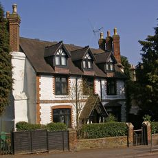
Old Garlands
4.2 km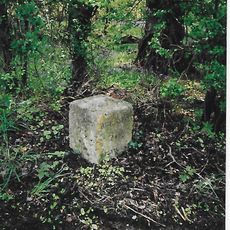
Milestone, Reigate Road, 80m N of Horseshoe Farm, Duxhurst
3.9 km
8 And 9, Pendleton Road
4.1 km
Dovers Green Farmhouse
4.4 km
40-44, High Street
4.5 km
Staplehurst Farm House
2.1 km
10, Hooley Lane
4.2 km
Horne WWI Memorial, Surrey
4.2 km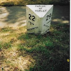
Milepost, Pentridge Common, Horley Road, 200m N of jct with A2044 (was B2035)
2.2 km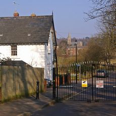
Two Lodges To Royal Earlswood Hospital
3.2 km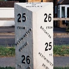
Milepost, Brighton Road, opp. parish church, NE of Longbridge roundabout
4.1 km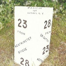
Milepost, Bonehurst Road, Salfords, just N of "X Ray House"
1.6 kmRecensioni
Ha visitato questo luogo? Tocchi le stelle per valutarlo e condividere la Sua esperienza o foto con la community! Provalo ora! Puoi annullarlo in qualsiasi momento.
Scopri tesori nascosti ad ogni viaggio!
Da piccoli caffè caratteristici a panorami nascosti, fuggi dalla folla e scova i posti che fanno davvero per te. La nostra app ti semplifica tutto: ricerca vocale, filtri furbi, percorsi ottimizzati e dritte autentiche da viaggiatori di tutto il mondo. Scaricala subito per vivere l'avventura sul tuo smartphone!

Un nuovo approccio alla scoperta turistica❞
— Le Figaro
Tutti i luoghi che meritano di essere esplorati❞
— France Info
Un’escursione su misura in pochi clic❞
— 20 Minutes