
East Pylon, tower in The City of Brighton and Hove, West Sussex, UK
Posizione: Brighton and Hove
Parte di: Patcham Pylon
Coordinate GPS: 50.88061,-0.16509
Ultimo aggiornamento: 10 aprile 2025 alle 17:00
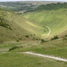
Devil's Dyke, Sussex
3.3 km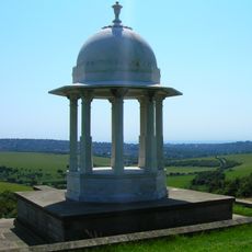
Chattri
1.3 km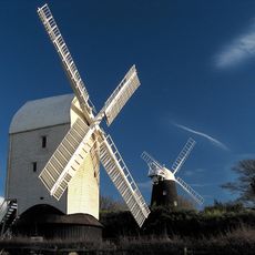
Clayton Windmills
3 km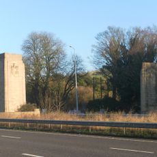
Patcham Pylon
12 m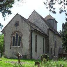
St John the Baptist's Church, Clayton
3.4 km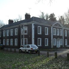
Patcham Place
1.9 km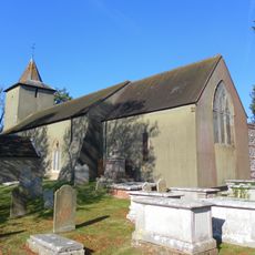
All Saints Church, Patcham
1.9 km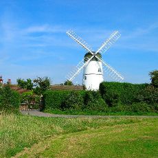
Waterhall Mill
2 km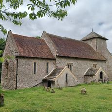
Church of the Transfiguration, Pyecombe
2 km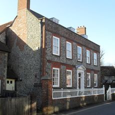
Southdown House
2.1 km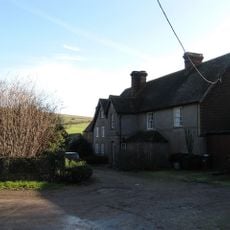
Saddlescombe Preceptory
2.2 km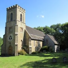
The Parish Church of St John Evangelist
3.4 km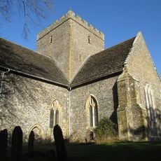
The Church of the Holy Trinity, Poynings
3.1 km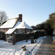
Hobbs Cottage
1.7 km
Pyecombe Manor
2.4 km
Wolstonbury
3.3 km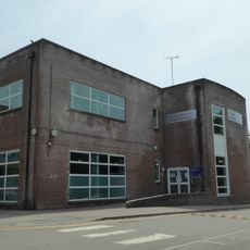
Patcham Library
2.4 km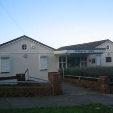
Hollingbury Library
3.4 km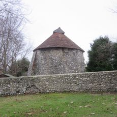
Dovecote at Patcham Court Farm, 80m north west of All Saints Church
1.8 km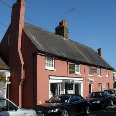
106 And 108, Old London Road
2.1 km
The Old School House
2 km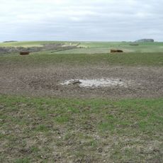
A saucer barrow and three bowl barrows on Tegdown Hill
2.2 km
Wolstonbury Camp: a Ram's Hill type enclosure on Wolstonbury Hill and associated later remains
3.3 km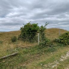
Cross dyke and bowl barrow 310m south east of Wolstonbury Camp
2.9 km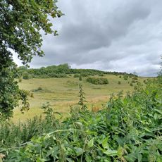
Roman road and 18th century coaching road N of Pyecombe church
2.5 km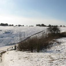
Devil's Dyke hillfort
3.2 km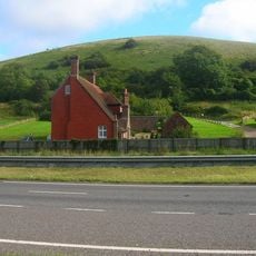
Redhouse Farmhouse
3.1 km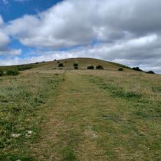
Romano-British farmstead, field system and trackway on Wolstonbury Hill
3.4 kmRecensioni
Ha visitato questo luogo? Tocchi le stelle per valutarlo e condividere la Sua esperienza o foto con la community! Provalo ora! Puoi annullarlo in qualsiasi momento.
Scopri tesori nascosti ad ogni viaggio!
Da piccoli caffè caratteristici a panorami nascosti, fuggi dalla folla e scova i posti che fanno davvero per te. La nostra app ti semplifica tutto: ricerca vocale, filtri furbi, percorsi ottimizzati e dritte autentiche da viaggiatori di tutto il mondo. Scaricala subito per vivere l'avventura sul tuo smartphone!

Un nuovo approccio alla scoperta turistica❞
— Le Figaro
Tutti i luoghi che meritano di essere esplorati❞
— France Info
Un’escursione su misura in pochi clic❞
— 20 Minutes