
Flint Walls At St Marys Hall School, wall in The City of Brighton and Hove, West Sussex, UK
Posizione: Brighton and Hove
Coordinate GPS: 50.81870,-0.11550
Ultimo aggiornamento: 13 aprile 2025 alle 07:51
Kemp Town
422 m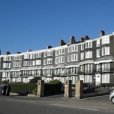
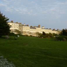
Royal Crescent
688 m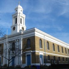
St George's Church, Brighton
273 m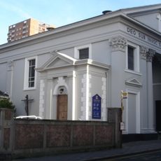
St John the Baptist's Church, Brighton
750 m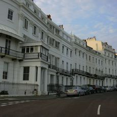
Fife House
361 m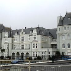
French Convalescent Home, Brighton
696 m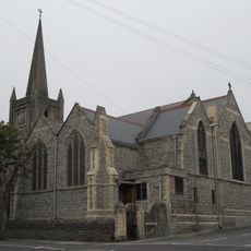
St Mark's Church, Brighton
275 m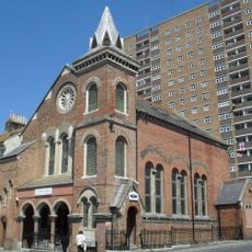
Bristol Road Methodist Church
645 m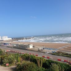
Brighton Naturist Beach
447 m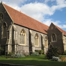
Brighton College Chapel
534 m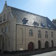
Playhouse
129 m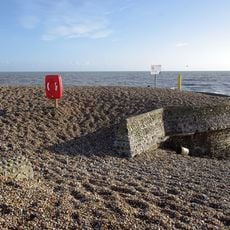
Banjo Groyne On The Beach At The Bottom Of Paston Place
430 m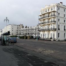
Royal Crescent Hotel And Attached Walls And Railings
638 m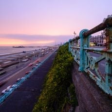
Railings Running The Length Of Marine Parade
331 m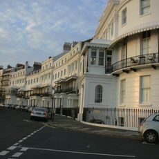
1-14 Lewes Crescent
343 m
St Josephs Convent Of Mercy
659 m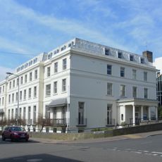
Pearson House
352 m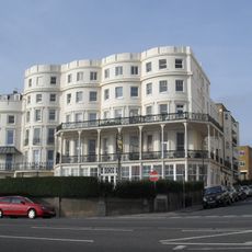
Bristol Court
324 m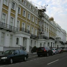
1-10 Sussex Square
354 m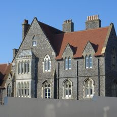
Classroom Dining Hall And Head Masters House Brighton College
491 m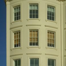
Numbers 1-8 And Attached Railings
238 m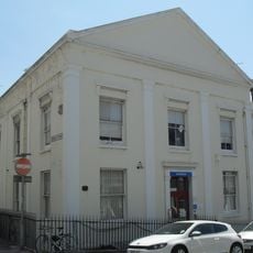
The Royal Gymnasium And Attached Railings
214 m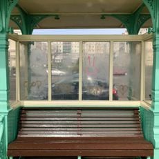
Shelter Opposite Marine Square
492 m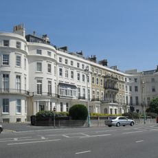
Numbers 1 To 9 And Attached Walls Piers And Railings
285 m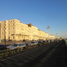
Numbers 1 To 6 And Attached Walls Piers And Railings
251 m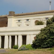
Old Reading Room
487 m
Chichester House and 1-14 Chichester Terrace
302 m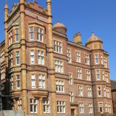
Arundel House and 1-13 Arundel Terrace
613 mRecensioni
Ha visitato questo luogo? Tocchi le stelle per valutarlo e condividere la Sua esperienza o foto con la community! Provalo ora! Puoi annullarlo in qualsiasi momento.
Scopri tesori nascosti ad ogni viaggio!
Da piccoli caffè caratteristici a panorami nascosti, fuggi dalla folla e scova i posti che fanno davvero per te. La nostra app ti semplifica tutto: ricerca vocale, filtri furbi, percorsi ottimizzati e dritte autentiche da viaggiatori di tutto il mondo. Scaricala subito per vivere l'avventura sul tuo smartphone!

Un nuovo approccio alla scoperta turistica❞
— Le Figaro
Tutti i luoghi che meritano di essere esplorati❞
— France Info
Un’escursione su misura in pochi clic❞
— 20 Minutes