
National Westminster Bank And Attached Wall
National Westminster Bank And Attached Wall, bank building in The City of Brighton and Hove, West Sussex, UK
Posizione: Brighton and Hove
Coordinate GPS: 50.82452,-0.15103
Ultimo aggiornamento: 10 aprile 2025 alle 23:39
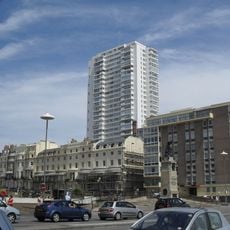
Sussex Heights
274 m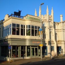
Gothic House
83 m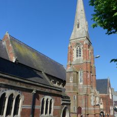
St Mary Magdalen's Church, Brighton
157 m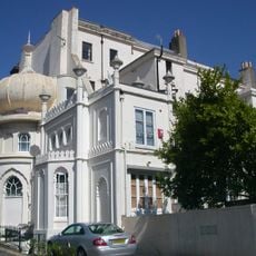
Western Pavilion
62 m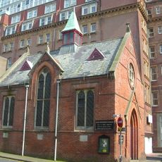
French Protestant Church, Brighton
301 m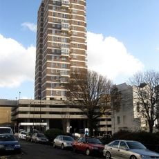
Chartwell Court
307 m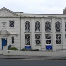
First Church of Christ, Scientist
186 m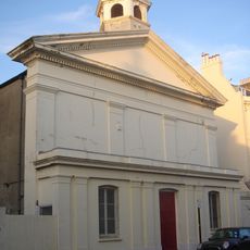
St Stephen's Church, Brighton
270 m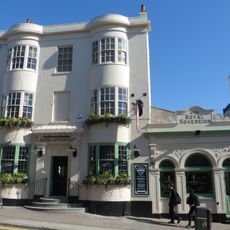
The Royal Sovereign Hotel
95 m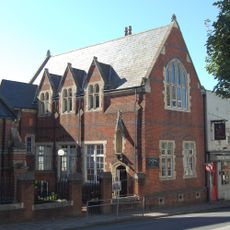
School Buildings Next To Church Of St Mary Magdalene
139 m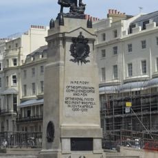
Royal Sussex Regt Boer War Memorial
302 m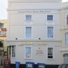
The Regency Tavern
237 m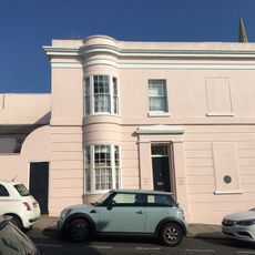
14, Montpelier Terrace
170 m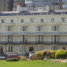
2, 3 and 4, Regency Square
259 m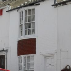
23, Crown Street
202 m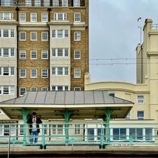
Shelter Facing The End Of Preston Street
316 m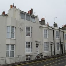
18, 19 And 20, Regent Hill
312 m
108, Western Road
213 m
19, Crown Street
211 m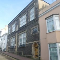
Former St Stephens Schools
222 m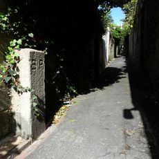
Boundary Stone Approximately 40 Metres North Of Western Road
315 m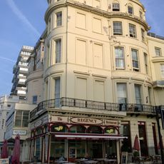
131, Kings Road
281 m
5, Preston Street
243 m
Number 1 And Attached Railings
235 m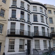
Numbers 11-15 And Attached Railings
312 m
23 And 24, Montpelier Road
169 m
Numbers 1-22 And Attached Railings
244 m
Numbers 1-18 And Attached Railings
239 mRecensioni
Ha visitato questo luogo? Tocchi le stelle per valutarlo e condividere la Sua esperienza o foto con la community! Provalo ora! Puoi annullarlo in qualsiasi momento.
Scopri tesori nascosti ad ogni viaggio!
Da piccoli caffè caratteristici a panorami nascosti, fuggi dalla folla e scova i posti che fanno davvero per te. La nostra app ti semplifica tutto: ricerca vocale, filtri furbi, percorsi ottimizzati e dritte autentiche da viaggiatori di tutto il mondo. Scaricala subito per vivere l'avventura sul tuo smartphone!

Un nuovo approccio alla scoperta turistica❞
— Le Figaro
Tutti i luoghi che meritano di essere esplorati❞
— France Info
Un’escursione su misura in pochi clic❞
— 20 Minutes