
Taunton Farmhouse, farmhouse in Croydon, Greater London, UK
Posizione: London Borough of Croydon
Coordinate GPS: 51.30393,-0.11154
Ultimo aggiornamento: 7 giugno 2025 alle 20:46
Farthing Downs
1.9 km
Happy Valley Park
967 m
Riddlesdown Common
2.6 km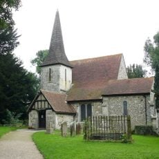
Church of St Peter and St Paul
2.3 km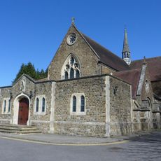
Sacred Heart Church, Caterham
2.5 km
Foxley Wood
2.7 km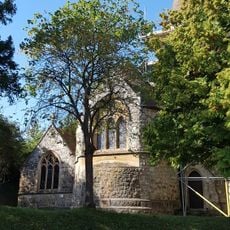
Church of All Saints
2.2 km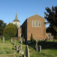
Church of St John the Evangelist
619 m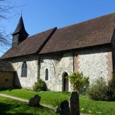
Church of St Lawrence
3 km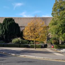
Chapel Of St Michael The Archangel, Caterham Guards Depot
1.6 km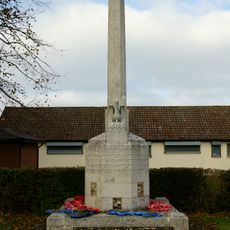
Old Coulsdon War Memorial
702 m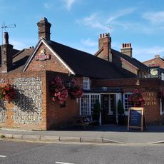
The King And Queen Public House
2.6 km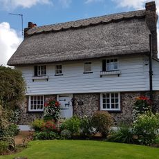
The Thatched Cottage
722 m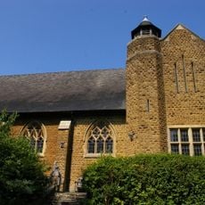
St. James' Riddlesdown
3 km
84, High Street
2.7 km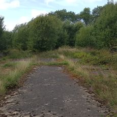
Group of four World War II fighter pens at the former airfield of RAF Kenley
867 m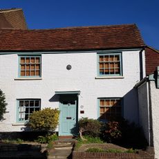
33, High Street
2.5 km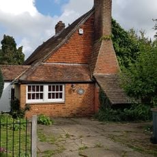
The Old Forge
1.5 km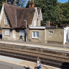
Kenley Station House (Original 1856 Building)
2.5 km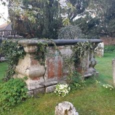
Fowler Tomb 5 Yards South Of Nave Of Church Of St Lawrence
3 km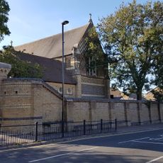
Piers And Walls To Churchyard Of St Michael, Caterham Guards Depot
1.5 km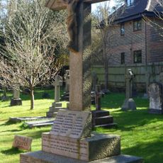
Whyteleafe War Memorial
2 km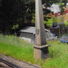
Coal Tax Post 1/4 Mile South Of Station At Ngr Tq 340581
2.3 km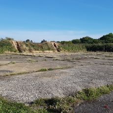
Group of seven World War II fighter pens at the former airfield of RAF Kenley
1.3 km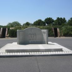
RAF Kenley Memorial
793 m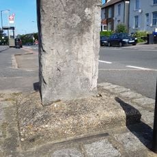
Milestone Outside Number 362
2.4 km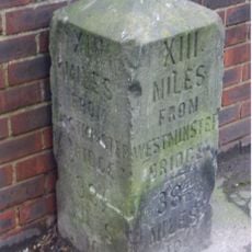
Milestone, Brighton Road, Coulsdon near Milestone Drive
3 km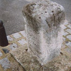
Milestone, between Kenley & Whyteleafe
2.3 kmRecensioni
Ha visitato questo luogo? Tocchi le stelle per valutarlo e condividere la Sua esperienza o foto con la community! Provalo ora! Puoi annullarlo in qualsiasi momento.
Scopri tesori nascosti ad ogni viaggio!
Da piccoli caffè caratteristici a panorami nascosti, fuggi dalla folla e scova i posti che fanno davvero per te. La nostra app ti semplifica tutto: ricerca vocale, filtri furbi, percorsi ottimizzati e dritte autentiche da viaggiatori di tutto il mondo. Scaricala subito per vivere l'avventura sul tuo smartphone!

Un nuovo approccio alla scoperta turistica❞
— Le Figaro
Tutti i luoghi che meritano di essere esplorati❞
— France Info
Un’escursione su misura in pochi clic❞
— 20 Minutes