
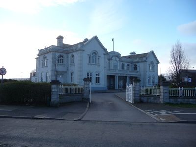
Llay Miners Welfare Institute
Llay Miners Welfare Institute, Grade II listed building in Llay. Situated on the N edge of the village facing diagonally across the junction between B5120 and B5425. Semicircular forecourt with contemporary railings and boundary wall
Posizione: Llay
Altezza sopra il mare: 88,7 m
Coordinate GPS: 53.09685,-3.00359
Ultimo aggiornamento: 9 marzo 2025 alle 19:31

Caergwrle Castle
2.5 km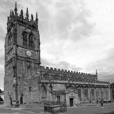
All Saints' Church
2 km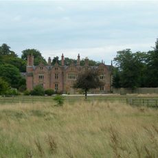
Trevalyn Hall
3.7 km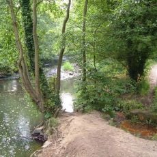
Alyn Waters
1.6 km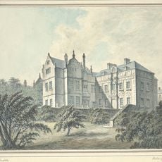
Brymbo Hall
4.4 km
The Lemon Tree
5.2 km
Christ Church, Rossett
3.8 km
All Saints Church, Higher Kinnerton
5.2 km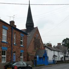
Presbyterian Chapel, Rossett
3.6 km
All Saints Primary School
2.1 km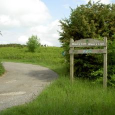
Waun-Y-Llyn Country Park
5.1 km
St Margaret's Church
4.2 km
Holy Trinity Church
2.8 km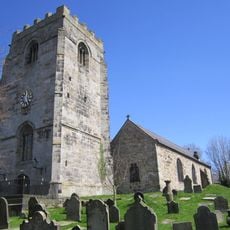
St Cyngar's Church
3.1 km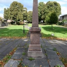
Morgan Llwyd Memorial
5.1 km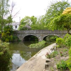
Bridge End Bridge
2.4 km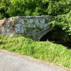
Ffrith Bridge
4.3 km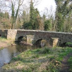
Pack Horse Bridge, Hope, Flintshire
2.8 km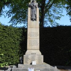
Gwersyllt War Memorial
3 km
Meifod
3.1 km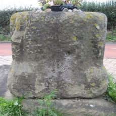
Base of Cross
2.3 km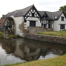
Rossett Mill
3.7 km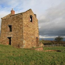
Pen-rhos Engine House
5.1 km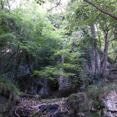
Pair of Lime Kilns at Ffrith Quarry
4.7 km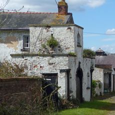
Allington Farm Gatehouse
3.9 km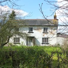
Allington Farmhouse
3.9 km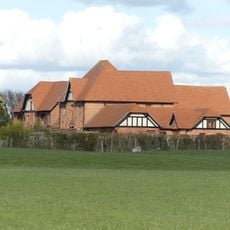
Farm buildings at Meadow House Farm
5.1 km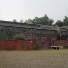
Former Agent's House At Site Of Brymbo Ironworks
4.2 kmRecensioni
Ha visitato questo luogo? Tocchi le stelle per valutarlo e condividere la Sua esperienza o foto con la community! Provalo ora! Puoi annullarlo in qualsiasi momento.
Scopri tesori nascosti ad ogni viaggio!
Da piccoli caffè caratteristici a panorami nascosti, fuggi dalla folla e scova i posti che fanno davvero per te. La nostra app ti semplifica tutto: ricerca vocale, filtri furbi, percorsi ottimizzati e dritte autentiche da viaggiatori di tutto il mondo. Scaricala subito per vivere l'avventura sul tuo smartphone!

Un nuovo approccio alla scoperta turistica❞
— Le Figaro
Tutti i luoghi che meritano di essere esplorati❞
— France Info
Un’escursione su misura in pochi clic❞
— 20 Minutes