
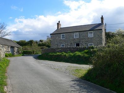
Gwydir-mawr, Grade II listed building in Gwynedd. The house stands to the W of the village on a bend of the road to the harbour
Posizione: Llanaelhaearn
Altezza sopra il mare: 25,4 m
Coordinate GPS: 52.99666,-4.42060
Ultimo aggiornamento: 6 marzo 2025 alle 05:12
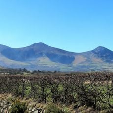
Yr Eifl
2.7 km
Tre'r Ceiri
2.5 km
Gyrn Ddu
2.5 km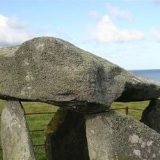
Bach-wen
3.9 km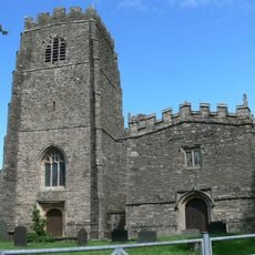
Church of St Beuno, with attached Chapel of St Beuno
4.6 km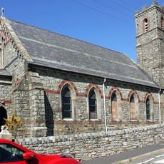
St George's Church
499 m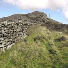
Yr Eifl North Top
2.1 km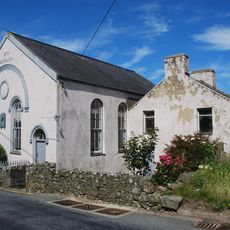
Capel Methodistiaid Calfinaidd
4.4 km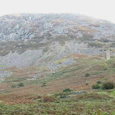
Gyrn Ddu quarry
1.8 km
Capel Seilo
3.5 km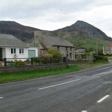
Llwyn-yr-aethnen
206 m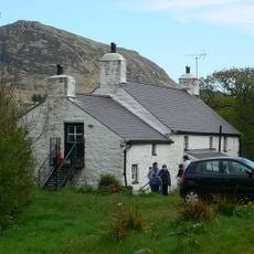
Morfa
610 m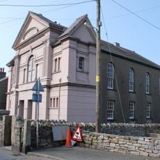
Maes-y-neuadd addoldy annibynwyr
564 m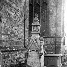
Tomb of Eben Fardd
4.6 km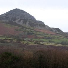
Eifl quarry
1.8 km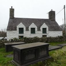
The Court House
4.6 km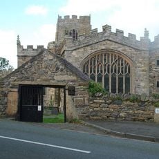
Lychgate to the churchyard of the Church of St Beuno
4.6 km
Maes-glas
4.4 km
Lleiniau-hirion
942 m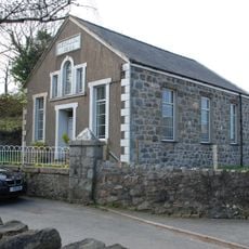
Bethania Welsh Baptist Church
667 m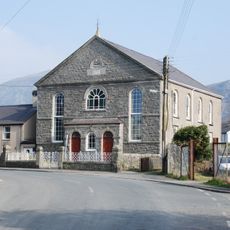
Capel Gosen
460 m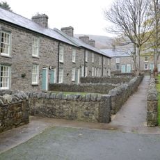
Trem-y-mynydd, with associated front walls
3.5 km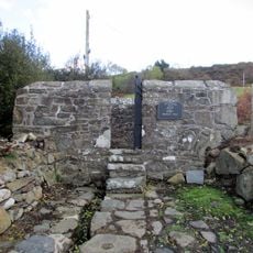
Ffynnon Beuno
4.4 km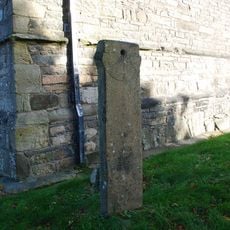
Sundial in the churchyard of the Church of St Beuno
4.6 km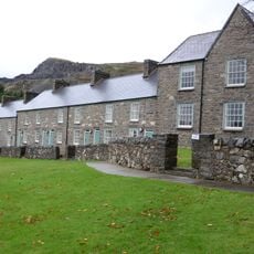
Trem-y-mor, with associated garden walls and walled path
3.5 km
Former SW wing of Bodfasarn
4.5 km
Y Plas, with associated garden and driveway walls
3.5 km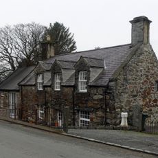
Bodfasarn
4.5 kmRecensioni
Ha visitato questo luogo? Tocchi le stelle per valutarlo e condividere la Sua esperienza o foto con la community! Provalo ora! Puoi annullarlo in qualsiasi momento.
Scopri tesori nascosti ad ogni viaggio!
Da piccoli caffè caratteristici a panorami nascosti, fuggi dalla folla e scova i posti che fanno davvero per te. La nostra app ti semplifica tutto: ricerca vocale, filtri furbi, percorsi ottimizzati e dritte autentiche da viaggiatori di tutto il mondo. Scaricala subito per vivere l'avventura sul tuo smartphone!

Un nuovo approccio alla scoperta turistica❞
— Le Figaro
Tutti i luoghi che meritano di essere esplorati❞
— France Info
Un’escursione su misura in pochi clic❞
— 20 Minutes