
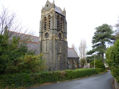
Church of St Seiriol, Grade II listed building in Conwy County Borough. Towards the eastern edge of Penmaenmawr, on a narrow road above the main street
Posizione: Penmaenmawr
Altezza sopra il mare: 44,7 m
Coordinate GPS: 53.27024,-3.91819
Ultimo aggiornamento: 3 aprile 2025 alle 19:17
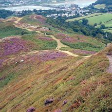
Mynydd y Dref
4 km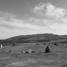
Tal y Fan
4 km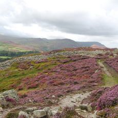
Castell Caer Seion
4 km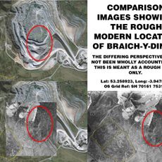
Braich-y-Ddinas
2.4 km
Caer Bach
4.2 km
Maen y Bardd
5.1 km
Penmaen Mawr
2.1 km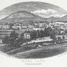
Foel Lus
934 m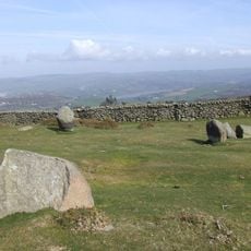
Cefn Llechen Stone Circle
2.8 km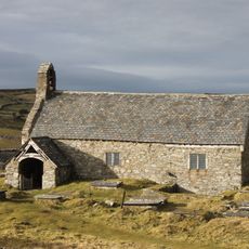
St Celynin's Old Church
4.1 km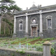
Pen-y-Cae Chapel
179 m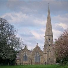
Christ Church
4.4 km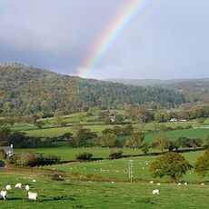
Cerrig-y-ddinas, Llangelynin
4.1 km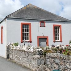
Henryd Welsh Independent Chapel
5.1 km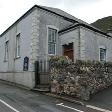
Horeb Welsh Independent Chapel
1 km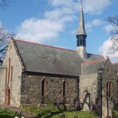
St Gwynan's Church
1.7 km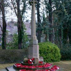
War Memorial
4.4 km
Pont Henryd
5 km
Gerizim Independent Church
4 km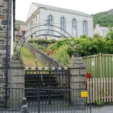
Salem Welsh Independent Chapel
1.3 km
Penmaenmawr English Congregational Church
455 m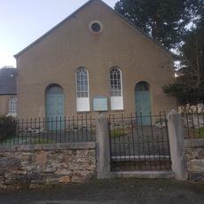
Tabernacl Chapel
4.2 km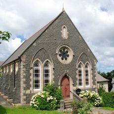
Tabernacl Welsh Independent Chapel
503 m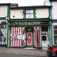
Paragon Electrical Shop
4.4 km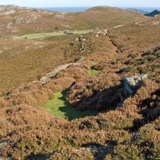
Dinas Allt Wen, Dwygyfylchi
2.5 km
Peniel Independent Chapel
4.4 km
The Towers
4.4 km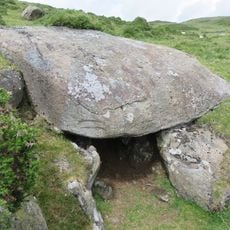
Siambr Gladdu Caer Bach
4.3 kmRecensioni
Ha visitato questo luogo? Tocchi le stelle per valutarlo e condividere la Sua esperienza o foto con la community! Provalo ora! Puoi annullarlo in qualsiasi momento.
Scopri tesori nascosti ad ogni viaggio!
Da piccoli caffè caratteristici a panorami nascosti, fuggi dalla folla e scova i posti che fanno davvero per te. La nostra app ti semplifica tutto: ricerca vocale, filtri furbi, percorsi ottimizzati e dritte autentiche da viaggiatori di tutto il mondo. Scaricala subito per vivere l'avventura sul tuo smartphone!

Un nuovo approccio alla scoperta turistica❞
— Le Figaro
Tutti i luoghi che meritano di essere esplorati❞
— France Info
Un’escursione su misura in pochi clic❞
— 20 Minutes