
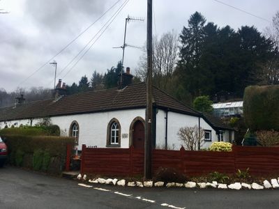
1 The Row, Grade II listed building in Caerphilly County Borough. On the N side of the main road through Draethen. No 1 is at the R (E) end of the row
Posizione: Rudry
Altezza sopra il mare: 51,2 m
Coordinate GPS: 51.57999,-3.12530
Ultimo aggiornamento: 9 marzo 2025 alle 16:56
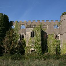
Ruperra Castle
1.1 km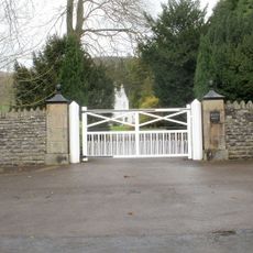
Machen House
913 m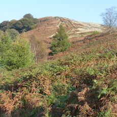
Mynydd Machen
2.6 km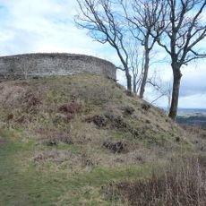
Craig Ruperra Motte
723 m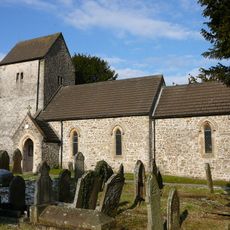
Church of St James, Rudry
2.9 km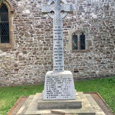
War Memorial in churchyard of St James, Rudry
2.9 km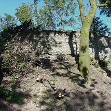
Ruperra hill fort
732 m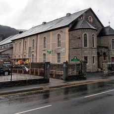
Bethany English Baptist Church and attached Sunday School
3.4 km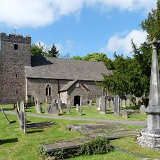
St Michael's Church
967 m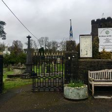
Churchyard gates and piers to the Church of St Michael
935 m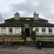
Parkfield House
946 m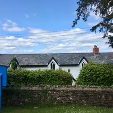
Old Church School House
2.9 km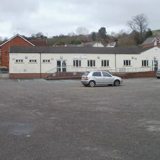
Machen Library
2.1 km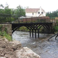
Iron Bridge over River Rhymney
885 m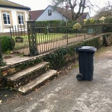
Railings and gate to Parkfield House
939 m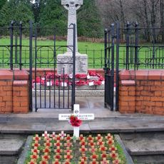
War Memorial within Railed Enclosure
2 km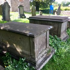
Group of three Moses family chest tombs in churchyard of St James, Rudry
2.9 km
Gatepiers, gate and garden walls to Machen House
812 m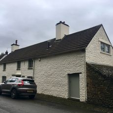
The Old Post
826 m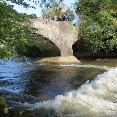
Cefn Mably Bridge
3.1 km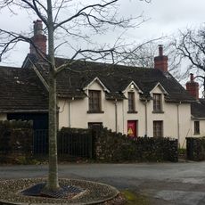
Corner House
874 m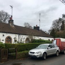
2 The Row
9 m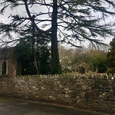
Garden walls to S, W and N of Nantygarth
791 m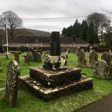
Churchyard cross at the Church of St Michael
951 m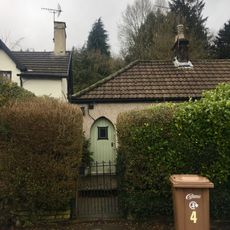
4 The Row
28 m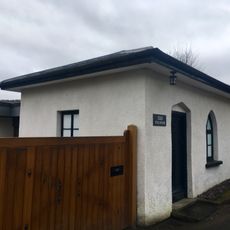
The Toll House
744 m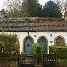
3 The Row
18 m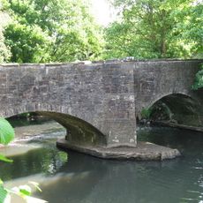
Michaelstone Bridge
2.9 kmRecensioni
Ha visitato questo luogo? Tocchi le stelle per valutarlo e condividere la Sua esperienza o foto con la community! Provalo ora! Puoi annullarlo in qualsiasi momento.
Scopri tesori nascosti ad ogni viaggio!
Da piccoli caffè caratteristici a panorami nascosti, fuggi dalla folla e scova i posti che fanno davvero per te. La nostra app ti semplifica tutto: ricerca vocale, filtri furbi, percorsi ottimizzati e dritte autentiche da viaggiatori di tutto il mondo. Scaricala subito per vivere l'avventura sul tuo smartphone!

Un nuovo approccio alla scoperta turistica❞
— Le Figaro
Tutti i luoghi che meritano di essere esplorati❞
— France Info
Un’escursione su misura in pochi clic❞
— 20 Minutes