
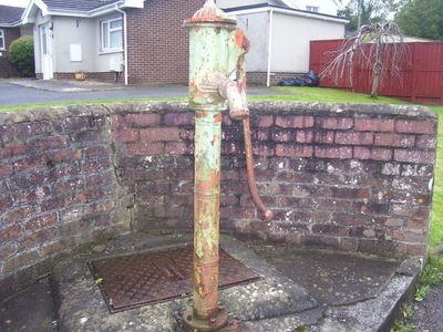
Water Pump, Grade II listed building in St Clears. On S side of road junction, within curved, brick walled recess, immediately N of Maengwyn
Posizione: St Clears
Altezza sopra il mare: 11 m
Coordinate GPS: 51.81160,-4.49603
Ultimo aggiornamento: 6 aprile 2025 alle 02:10
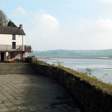
Dylan Thomas Boathouse
5.2 km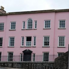
Castle House
5.2 km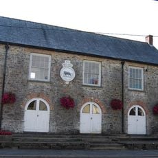
The Town Hall
216 m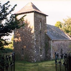
St Odoceus' Church, Llandawke
4.3 km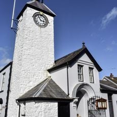
Laugharne Town Hall
5.1 km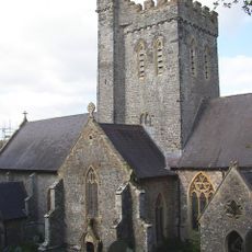
St Martin's Church, Laugharne
4.6 km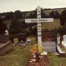
Grave of Dylan Thomas
4.7 km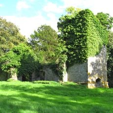
Ruins of former St Michael's Parish Church
3.1 km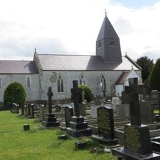
Church of St Michael
2.4 km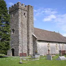
Parish Church of St Mary Magdalene
269 m
Castell Cogan
4.9 km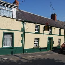
The Butcher's Arms Inn
276 m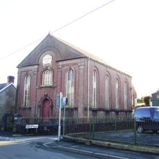
Capel Mair
378 m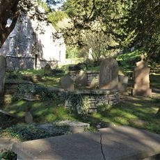
Churchyard at St.Martin's Parish Church, Church Street
4.6 km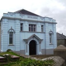
Capel Bethlehem
1.7 km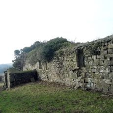
Church of St Teilo
3.8 km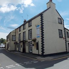
New Three Mariners P.H. Victoria Street
5.1 km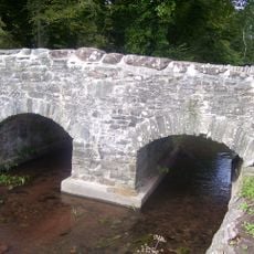
Coran Bridge,Newbridge Street
5.1 km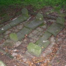
Pilgrims Graves By Ruins Of St Michael's Church
3.1 km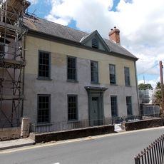
Great House, King Street
4.9 km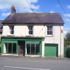
Cross House Stores
233 m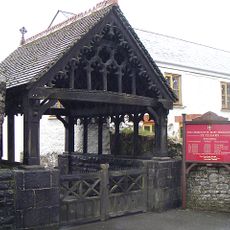
Lychgate to the Parish Church, including wall to N
221 m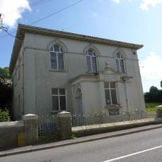
Seion Welsh Baptist Church
865 m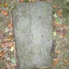
Pilgrim's Graves S Of Ruins Of St Michaels Church
3.1 km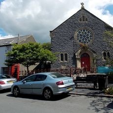
New Congregational Chapel
5 km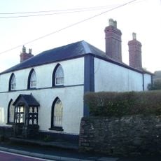
Gothic Villa
448 m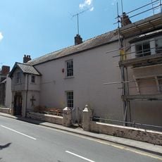
Vicarage,King Street
4.9 km
Pelican,King Street
5.1 kmRecensioni
Ha visitato questo luogo? Tocchi le stelle per valutarlo e condividere la Sua esperienza o foto con la community! Provalo ora! Puoi annullarlo in qualsiasi momento.
Scopri tesori nascosti ad ogni viaggio!
Da piccoli caffè caratteristici a panorami nascosti, fuggi dalla folla e scova i posti che fanno davvero per te. La nostra app ti semplifica tutto: ricerca vocale, filtri furbi, percorsi ottimizzati e dritte autentiche da viaggiatori di tutto il mondo. Scaricala subito per vivere l'avventura sul tuo smartphone!

Un nuovo approccio alla scoperta turistica❞
— Le Figaro
Tutti i luoghi che meritano di essere esplorati❞
— France Info
Un’escursione su misura in pochi clic❞
— 20 Minutes