
The Old Rectory, historic building in Sundridge, Kent, England
Posizione: Sundridge with Ide Hill
Coordinate GPS: 51.27690,0.12798
Ultimo aggiornamento: 24 maggio 2025 alle 02:56
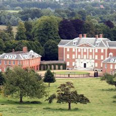
Chevening
2.4 km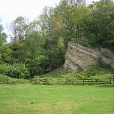
Dryhill Nature Reserve
1.5 km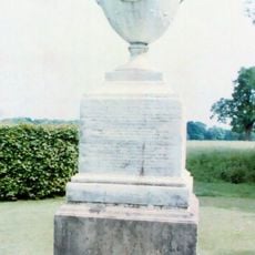
Chatham Vase
2.2 km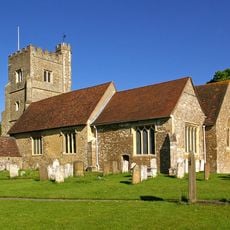
Church of St Botolph, Chevening
2.5 km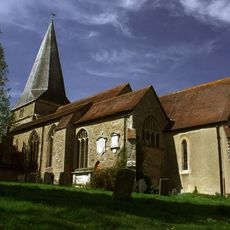
Church of St Mary
302 m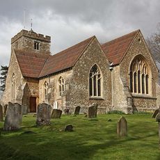
Church of St Martin
1.7 km
18-22, Church Road
75 m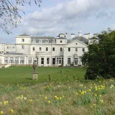
Combe Bank
707 m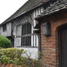
The Old Hall
506 m
Lennard Lodge
2.5 km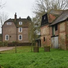
Brook Place Farmhouse
2.4 km
Kent Cottage Premises Occupied By Kw Baker Premises Occupied By L Muir Premises Occupied By Mary And Patrick Antiques Premises Occupied By Pj Donoghue
1.3 km
1, Chevening Road
2.4 km
Little Norman Street Farmhouse
2.4 km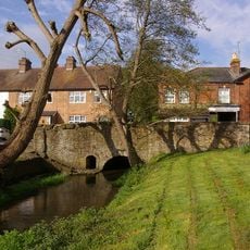
East Side Of Bridge Over River Darenth
1.7 km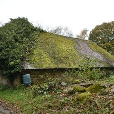
Small Barn To South East Of Dryhill Farmhouse
1.2 km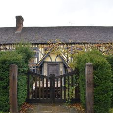
Dryhill Farmhouse
1.1 km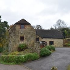
Outbuilding To North East Of Dryhill Farmhouse
1.1 km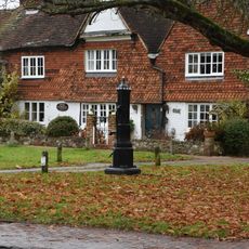
Pump In Middle Of Village Green
1.2 km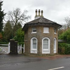
Combe Bank Lodge
1 km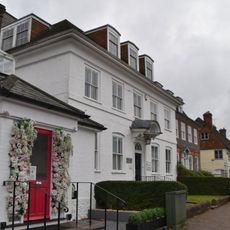
The White House
1.2 km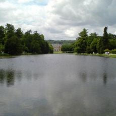
The Chatham Vase On East Side Of Lake Near Its South End
2.2 km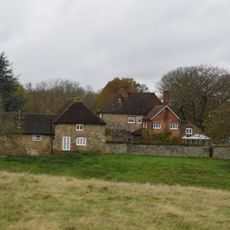
Sundridge Place
401 m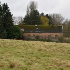
Large Barn To South East Of Sundridge Place With Outbuildings Adjoining
435 m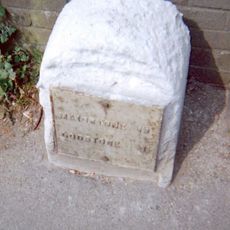
Milestone, Main Road, by No. 134, "Milestone", W of Social Club
296 m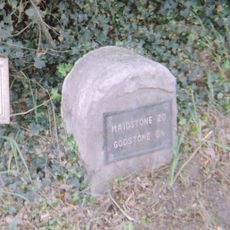
Milestone, Westerham Road, by Heverswood Lodge, W edge of village
1.8 km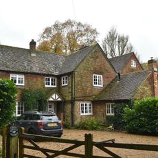
Dry Hill Cottage The Old Cottage
1 km
White Hart Cottages
1.1 kmRecensioni
Ha visitato questo luogo? Tocchi le stelle per valutarlo e condividere la Sua esperienza o foto con la community! Provalo ora! Puoi annullarlo in qualsiasi momento.
Scopri tesori nascosti ad ogni viaggio!
Da piccoli caffè caratteristici a panorami nascosti, fuggi dalla folla e scova i posti che fanno davvero per te. La nostra app ti semplifica tutto: ricerca vocale, filtri furbi, percorsi ottimizzati e dritte autentiche da viaggiatori di tutto il mondo. Scaricala subito per vivere l'avventura sul tuo smartphone!

Un nuovo approccio alla scoperta turistica❞
— Le Figaro
Tutti i luoghi che meritano di essere esplorati❞
— France Info
Un’escursione su misura in pochi clic❞
— 20 Minutes