
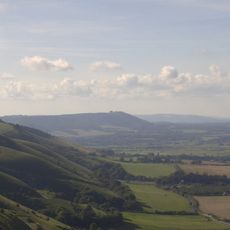
Cross dyke 420m west of Chanctonbury Ring hillfort, cross dyke in Washington, Horsham, England, UK
Posizione: Washington
Coordinate GPS: 50.89670,-0.38724
Ultimo aggiornamento: 11 aprile 2025 alle 00:52
Parco nazionale di South Downs
2.1 km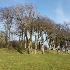
Chanctonbury Ring
417 m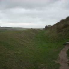
Cissbury Ring
3.9 km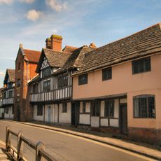
Steyning Grammar School
4.1 km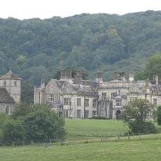
Wiston House
2 km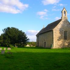
All Saints Church, Buncton
2.1 km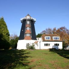
Rock Mill
1.8 km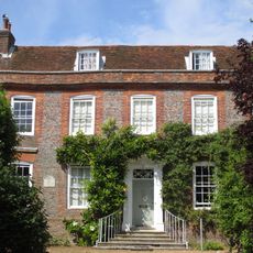
Chantry House
4.3 km
Worthing Downland Estate
4.1 km
Muntham Court Romano-British site
3.6 km
Chequer Inn
4.2 km
38, High Street
4.2 km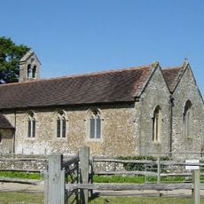
The Parish Church of St Peter and St Paul
3.9 km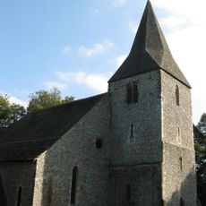
The Parish Church of St John the Baptist
4 km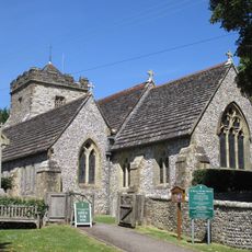
The Parish Church of St Mary
1.8 km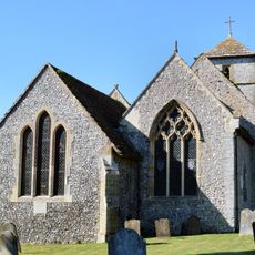
The Parish Church of St Mary
2.1 km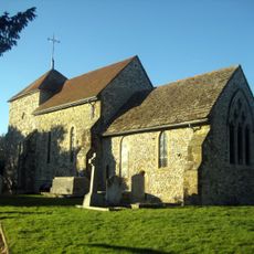
The Parish Church of St Mary
3.8 km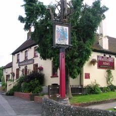
The Frankland Arms Public House
1.6 km
Romano-Celtic temples in Chanctonbury Ring
418 m
Cross dyke 760m WNW of Pepperscoombe
2.7 km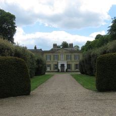
Findon Place
4 km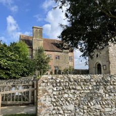
Sullington Manor
3.8 km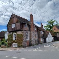
The Stone House
4.3 km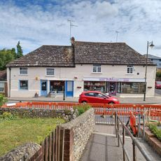
120 And 122, High Street
4 km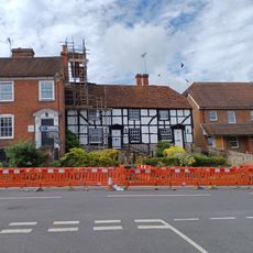
95 And 97, High Street
4 km
The Willows
3.6 km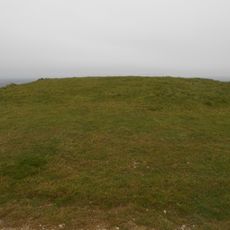
Bowl barrow 200m west of Chanctonbury Ring hillfort
225 m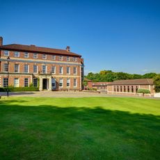
Windlesham House School
2.3 kmRecensioni
Ha visitato questo luogo? Tocchi le stelle per valutarlo e condividere la Sua esperienza o foto con la community! Provalo ora! Puoi annullarlo in qualsiasi momento.
Scopri tesori nascosti ad ogni viaggio!
Da piccoli caffè caratteristici a panorami nascosti, fuggi dalla folla e scova i posti che fanno davvero per te. La nostra app ti semplifica tutto: ricerca vocale, filtri furbi, percorsi ottimizzati e dritte autentiche da viaggiatori di tutto il mondo. Scaricala subito per vivere l'avventura sul tuo smartphone!

Un nuovo approccio alla scoperta turistica❞
— Le Figaro
Tutti i luoghi che meritano di essere esplorati❞
— France Info
Un’escursione su misura in pochi clic❞
— 20 Minutes