
Tyberton, village and civil parish in Herefordshire, England
Posizione: Herefordshire
Coordinate GPS: 52.05200,-2.90400
Ultimo aggiornamento: 6 marzo 2025 alle 19:38
Poston Camp
3 km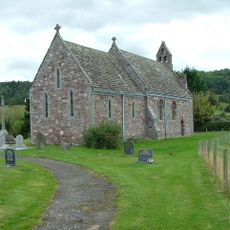
Church of St Leonard
2.4 km
Church of the Nativity of the Blessed Virgin Mary
4 km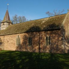
Church of St Bartholomew
3.7 km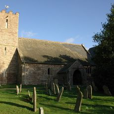
Church of St John the Baptist
3.6 km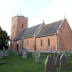
Church of St Mary
228 m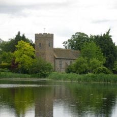
Church of St Mary
3.7 km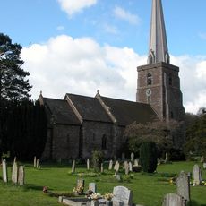
Church of St Peter
3.8 km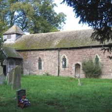
Church of St Mary
4 km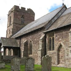
Church of St Laurence
2.8 km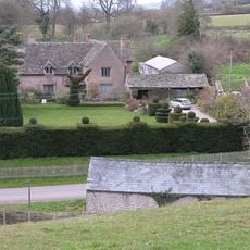
Wellbrook Manor
3.2 km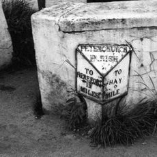
Milestone About 120 Metres North East Of Church Of St Peter
3.7 km
Byford Court
3.6 km
Monnington Court
3.8 km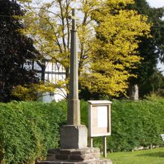
Wayside cross at NGR SO 420388
4 km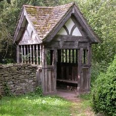
Lych Gate
3.8 km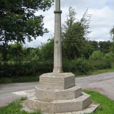
Moccas War Memorial
3.8 km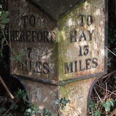
Milestone At So 403430
4 km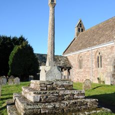
Churchyard cross in St Leonard's churchyard
2.4 km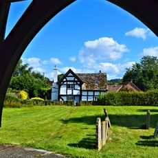
The Old Vicarage
2.4 km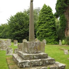
Churchyard cross in St Mary's churchyard
214 m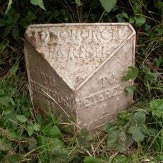
Milepost, Poston; opp. Poston Cottage
3.4 km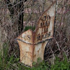
Milepost At Ngr So 397388
1.8 km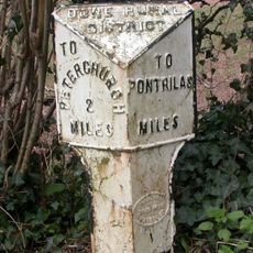
Milepost, 45m S jcn B4348
3.4 km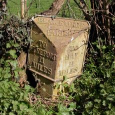
Milepost, N of village, N of Preston turn
2.4 km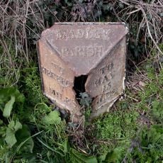
Milepost, Showel Farm; opp. nursery
3.3 km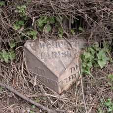
Milepost, 50m E jcn B4347, opp. The Croft
3.4 km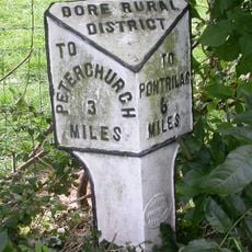
Milepost, Pontapina; opp. Pontapina Brake
4.4 kmHa visitato questo luogo? Tocchi le stelle per valutarlo e condividere la Sua esperienza o foto con la community! Provalo ora! Puoi annullarlo in qualsiasi momento.
Scopri tesori nascosti ad ogni viaggio!
Da piccoli caffè caratteristici a panorami nascosti, fuggi dalla folla e scova i posti che fanno davvero per te. La nostra app ti semplifica tutto: ricerca vocale, filtri furbi, percorsi ottimizzati e dritte autentiche da viaggiatori di tutto il mondo. Scaricala subito per vivere l'avventura sul tuo smartphone!

Un nuovo approccio alla scoperta turistica❞
— Le Figaro
Tutti i luoghi che meritano di essere esplorati❞
— France Info
Un’escursione su misura in pochi clic❞
— 20 Minutes