
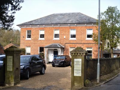
Barton Farm House, farmhouse in Marlborough, Wiltshire, UK
Posizione: Marlborough
Coordinate GPS: 51.41885,-1.73890
Ultimo aggiornamento: 14 marzo 2025 alle 14:59
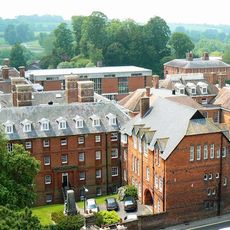
Marlborough College
344 m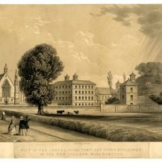
Marlborough Castle
267 m
Marlborough Mound
275 m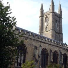
Church of St Peter and St Paul
342 m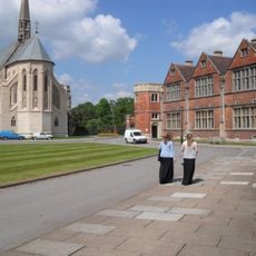
St Michael & All Angels Chapel
182 m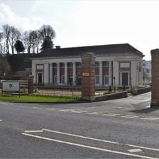
Memorial Hall
221 m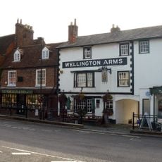
The Wellington Arms
393 m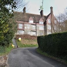
Cotton House
308 m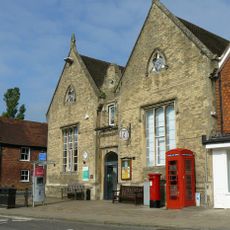
Marlborough Library
348 m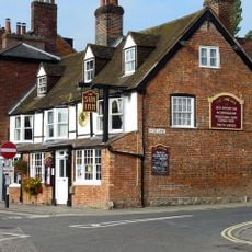
The Sun Public House
345 m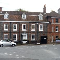
50 And 50A, High Street
382 m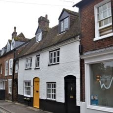
70 And 71, High Street
319 m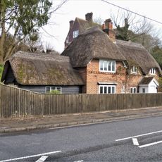
Virginia Cottage
373 m
72, High Street
321 m
80 And 81, High Street
331 m
Mant House
260 m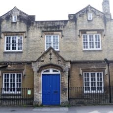
St Peter's Rectory
382 m
Elmhurst
134 m
Preshute Vicarage
284 m
Wall To Former Stableyard Of St Peter's Rectory, Extending From Number 50 To Number 51
374 m
75, High Street
323 m
76, High Street
326 m
Wall To Hermitage And Hyde Close
301 m
73 And 74, High Street
323 m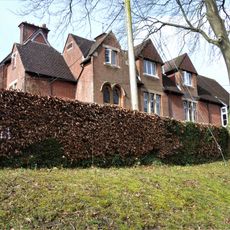
Barton Hill
168 m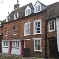
69, High Street
319 m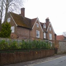
Hyde Close The Hermitage
290 m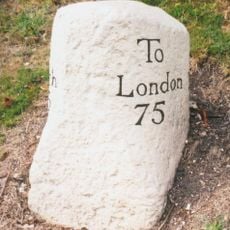
Milestone, Bath Road, opp. chapel of Marlborough School, W of school bridge and pedestrian crossing
135 mRecensioni
Ha visitato questo luogo? Tocchi le stelle per valutarlo e condividere la Sua esperienza o foto con la community! Provalo ora! Puoi annullarlo in qualsiasi momento.
Scopri tesori nascosti ad ogni viaggio!
Da piccoli caffè caratteristici a panorami nascosti, fuggi dalla folla e scova i posti che fanno davvero per te. La nostra app ti semplifica tutto: ricerca vocale, filtri furbi, percorsi ottimizzati e dritte autentiche da viaggiatori di tutto il mondo. Scaricala subito per vivere l'avventura sul tuo smartphone!

Un nuovo approccio alla scoperta turistica❞
— Le Figaro
Tutti i luoghi che meritano di essere esplorati❞
— France Info
Un’escursione su misura in pochi clic❞
— 20 Minutes