
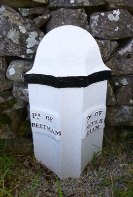
Boundary Post At Junction Of B6384 With Paradise Lane Between Ackenthwaite And Whasset
Boundary Post At Junction Of B6384 With Paradise Lane Between Ackenthwaite And Whasset, Beetham/Heversham parish boundary stone in Milnthorpe, Cumbria, United Kingdom
Posizione: Milnthorpe
Parte di: political border
Coordinate GPS: 54.22728,-2.76043
Ultimo aggiornamento: 21 marzo 2025 alle 10:58
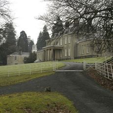
Dallam Tower
1.6 km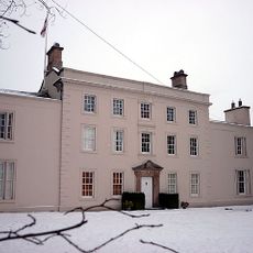
Ashton House
2.3 km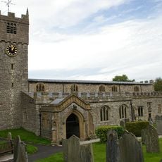
St Michael's Church, Beetham
2.2 km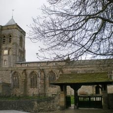
St Peter's Church, Heversham
2.1 km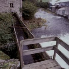
Heron Corn Mill
1.8 km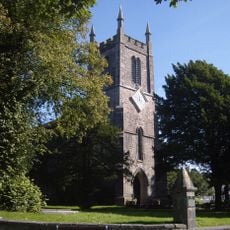
St Thomas' Church, Milnthorpe
638 m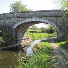
Holme Park Bridge Over Kendal/Lancaster Canal
3 km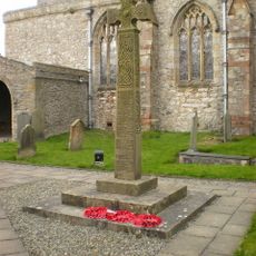
Heversham War Memorial
2 km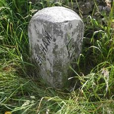
Boundary Stone Opposite Leasgill Cottage
2.9 km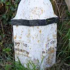
Boundary Post Approximately 650 Metres North East Of Holme Parish Church
2.7 km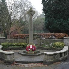
Beetham War Memorial
2.1 km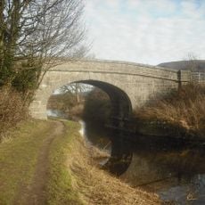
Nelson's Bridge Over Kendal/Lancaster Canal
2.9 km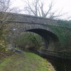
Hodgson's Bridge Over Kendal/Lancaster Canal
3 km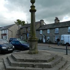
Market Cross
767 m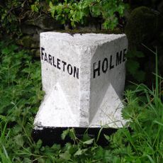
Boundary Stone Approximately 500 Metres South South West Of Townend Farm
3 km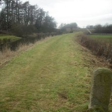
Milestone On Kendal/Lancaster Canal Approximately 300 Metres South South West Of Duke's Bridge
2.8 km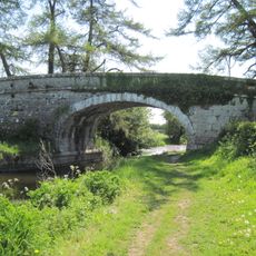
Kendal/Lancaster Canal Garth's Bridge Over Kendal
2.8 km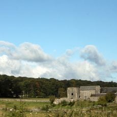
Beetham Hall And Attached Outbuildings
2.6 km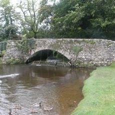
Footbridge over River Bela approximately 400 metres east-north-east of Milnthorpe Bridge
1.2 km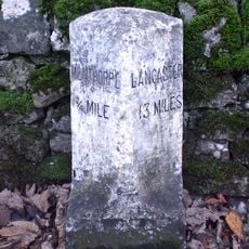
Milestone Approximately 150 Meters North North West Of Junction With Paradise Lane North Of Beetham
1.6 km
Boundary Stone At The Junction Off White Lane With The Woodhouse To Viver Road Approximately 300 Yards North Of Woodhouse
2.3 km
Boundary Stone At Entrance To Hawbarrow House
1.2 km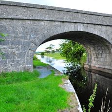
Duke's Bridge Over Kendal/Lancaster Canal 170 Metres East North East Of Townend Farm
2.8 km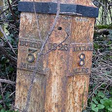
Milepost 80 Metres South Of Entrance To Green Close
2.9 km
Boundary Stone At The Junction Of Rowell Lane With Woodhouse To Ackenthwaite Road Approximately 600 Yards South Of Woodhouse
1.3 km
Milestone Approximately 350 Metres North West Of Junction With Pye's Bridge Lane
2.7 km
Milestone Approximately 200 Yards South West Of Lane Farm
2.7 km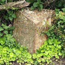
Milepost, Haverflatts, opp. St Anthony's House
1.2 kmRecensioni
Ha visitato questo luogo? Tocchi le stelle per valutarlo e condividere la Sua esperienza o foto con la community! Provalo ora! Puoi annullarlo in qualsiasi momento.
Scopri tesori nascosti ad ogni viaggio!
Da piccoli caffè caratteristici a panorami nascosti, fuggi dalla folla e scova i posti che fanno davvero per te. La nostra app ti semplifica tutto: ricerca vocale, filtri furbi, percorsi ottimizzati e dritte autentiche da viaggiatori di tutto il mondo. Scaricala subito per vivere l'avventura sul tuo smartphone!

Un nuovo approccio alla scoperta turistica❞
— Le Figaro
Tutti i luoghi che meritano di essere esplorati❞
— France Info
Un’escursione su misura in pochi clic❞
— 20 Minutes