
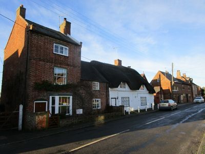
16, Long Street, building in Belton, North West Leicestershire, Leicestershire, UK
Posizione: Belton
Indirizzo: 16, Long Street, Belton, North West Leicestershire, Leicestershire, LE12
Coordinate GPS: 52.78173,-1.33977
Ultimo aggiornamento: 7 marzo 2025 alle 10:22
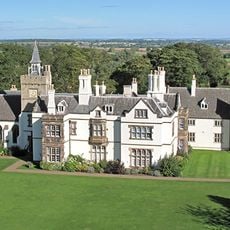
Grace Dieu Manor
2.9 km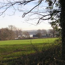
Blackbrook Reservoir
3.4 km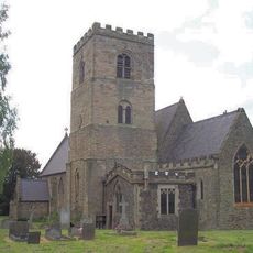
All Saints Church, Long Whatton
4.5 km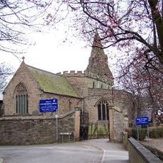
St Botolph's Church, Shepshed
3.6 km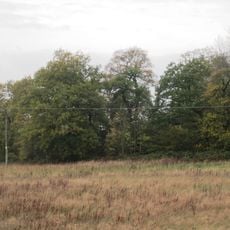
Oakley Wood
4 km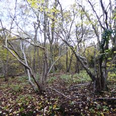
Breedon Cloud Wood and Quarry
3.2 km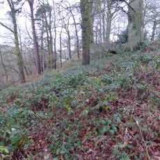
One Barrow Plantation
4 km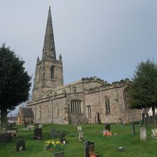
Church of St John the Baptist
207 m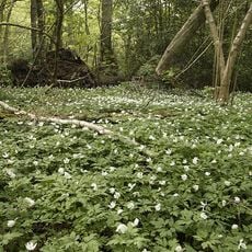
Grace Dieu and High Sharpley
3.8 km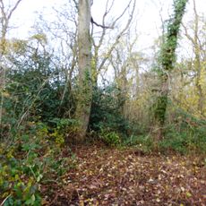
Pasture and Asplin Woods
2.3 km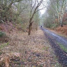
Shepshed Cutting
2.6 km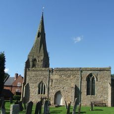
St Michael and All Angels' Church, Diseworth
3.9 km
Church of St Matthew
4 km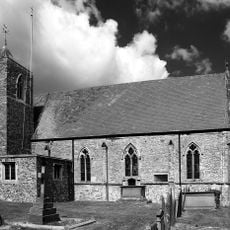
Church of St Mary
1.9 km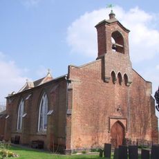
Church of St George
4.5 km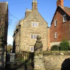
3-5, Church Lane
1.9 km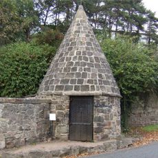
Lock Up And Pound
4.5 km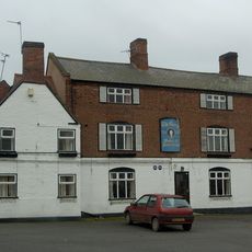
The George Public House
162 m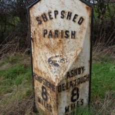
Milepost At Os Sk 469218
2.6 km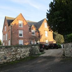
The Old Vicarage
184 m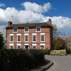
Hallington House
2 km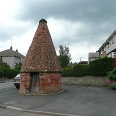
Lock up known as The Round House, at the junction of Church Street and St Matthew's Avenue
3.8 km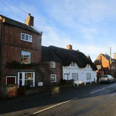
14, Long Street
14 m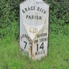
Milepost At Os Sk 432182
2.8 km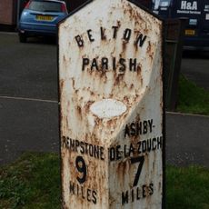
Milepost At Os Sk 456210
1 km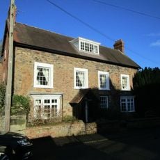
The Old Rectory
1.9 km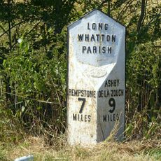
Milepost At Os Sk 483224
4.1 km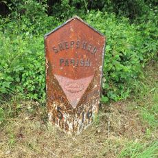
Milepost, Ashby Road West, SW of Blackbrook Hill House
2.8 kmRecensioni
Ha visitato questo luogo? Tocchi le stelle per valutarlo e condividere la Sua esperienza o foto con la community! Provalo ora! Puoi annullarlo in qualsiasi momento.
Scopri tesori nascosti ad ogni viaggio!
Da piccoli caffè caratteristici a panorami nascosti, fuggi dalla folla e scova i posti che fanno davvero per te. La nostra app ti semplifica tutto: ricerca vocale, filtri furbi, percorsi ottimizzati e dritte autentiche da viaggiatori di tutto il mondo. Scaricala subito per vivere l'avventura sul tuo smartphone!

Un nuovo approccio alla scoperta turistica❞
— Le Figaro
Tutti i luoghi che meritano di essere esplorati❞
— France Info
Un’escursione su misura in pochi clic❞
— 20 Minutes