
The Chantry, architectural structure in Reigate and Banstead, Surrey, UK
Posizione: Reigate and Banstead
Coordinate GPS: 51.23019,-0.19081
Ultimo aggiornamento: 19 novembre 2025 alle 16:11
Woodhatch Place, Reigate
679 m
St John's, Redhill
938 m
Church of St Mary Magdalene
852 m
The Angel Inn
866 m
The Cottage
293 m
Mount Cottage
669 m
Greenmead Cottage
651 m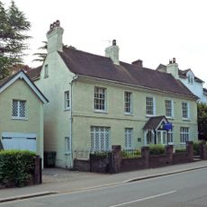
St Michael's
950 m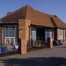
London Country Bus Services Limited Bus Garage With Attached Service Block
905 m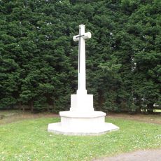
Reigate Cemetery Cross of Sacrifice
786 m
109A And 109B, Bell Street
959 m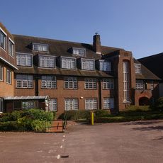
London Country Bus Services Limited, 1932 Office Block
954 m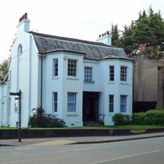
107, Bell Street
968 m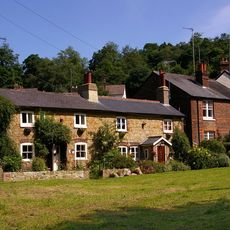
8 And 9, Pendleton Road
930 m
Bowl barrow on Earlswood Common 20m south of Pendleton Road
779 m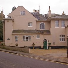
Cherchefelle
936 m
Ruins In South-West Corner Of Grounds Of No 2 Chart Lane
926 m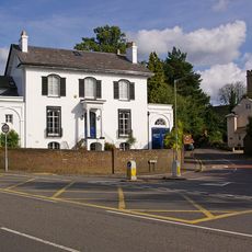
Delville
984 m
Gateway In South Wall Of Grounds Of No 2 (Cherchefelle)
894 m
Yew Cottage
828 m
10 and 11, Pendleton Road
883 m
27, Lesbourne Road
781 m
Grotto Including Steps And South Boundary Wall At 6 Monk's Walk, Reigate
945 m
The Old House
670 m
Belldomus
939 m
Dunottar School High Trees
123 m
Gallery One Reigate
944 m
George V Jubilee
890 mRecensioni
Ha visitato questo luogo? Tocchi le stelle per valutarlo e condividere la Sua esperienza o foto con la community! Provalo ora! Puoi annullarlo in qualsiasi momento.
Scopri tesori nascosti ad ogni viaggio!
Da piccoli caffè caratteristici a panorami nascosti, fuggi dalla folla e scova i posti che fanno davvero per te. La nostra app ti semplifica tutto: ricerca vocale, filtri furbi, percorsi ottimizzati e dritte autentiche da viaggiatori di tutto il mondo. Scaricala subito per vivere l'avventura sul tuo smartphone!

Un nuovo approccio alla scoperta turistica❞
— Le Figaro
Tutti i luoghi che meritano di essere esplorati❞
— France Info
Un’escursione su misura in pochi clic❞
— 20 Minutes