
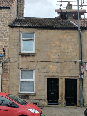
16, High Street, building in Mansfield, Nottinghamshire, UK
Posizione: Mansfield
Coordinate GPS: 53.16506,-1.19280
Ultimo aggiornamento: 3 marzo 2025 alle 13:25
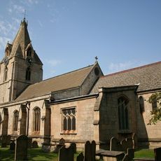
Church of St Edmund
202 m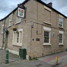
The Angel Inn
70 m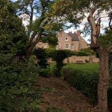
11, Church Street
116 m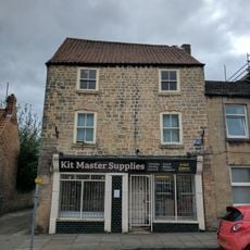
Army Stores
5 m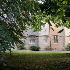
Clerkson's Hall
80 m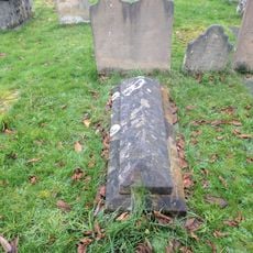
Headstone And Chest Tomb 10 Metres South Of Chancel At Church Of St Edmund
215 m
51, 53 And 55, High Street
179 m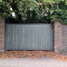
Boundary Wall And Gate At Number 2
106 m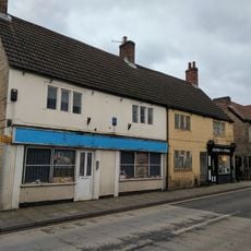
F Stubbs And Hairdresser
201 m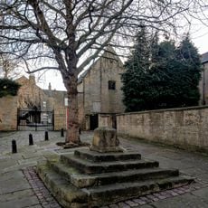
Mansfield Woodhouse Cross
78 m
Allens Chemist
18 m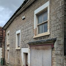
Chell Food Products Limited
33 m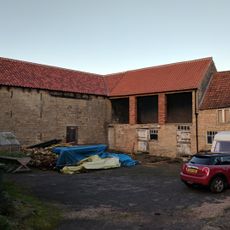
Farm Buildings Adjoining Numbers 57 And 59
220 m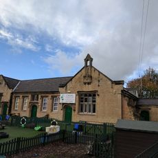
St Edmund's Church Of England School, With Teacher's House And Boundary Wall
196 m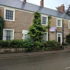
Number 12 And Boundary Wall
99 m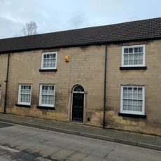
22 And 24, Station Street
192 m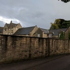
The Manor House And Adjoining Boundary Wall
212 m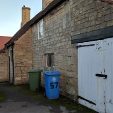
57, High Street
198 m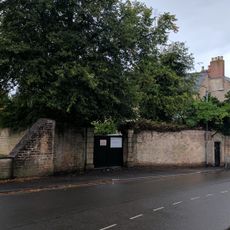
Boundary Wall Adjoining Number 11 And Number 12 To South
122 m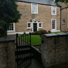
Number 17 And Adjoining Boundary Wall
97 m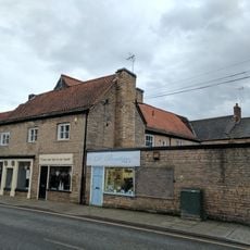
Numbers 15, 17, 19 And Adjoining Outbuildings
222 m
59, High Street
212 m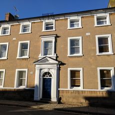
21, High Street
141 m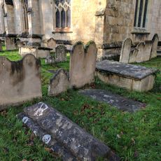
Headstone 3 Metres South Of Lady Chapel At Church Of St Edmund
218 m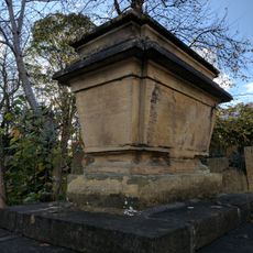
Sarcophagus 10 Metres South Of South Porch At Church Of St Edmund
223 m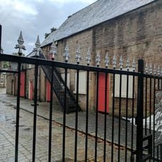
Stable Block At Rear Of Number 11
99 m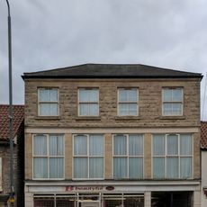
G Betts And Son
17 m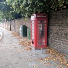
K6 Telephone Kiosk
48 mRecensioni
Ha visitato questo luogo? Tocchi le stelle per valutarlo e condividere la Sua esperienza o foto con la community! Provalo ora! Puoi annullarlo in qualsiasi momento.
Scopri tesori nascosti ad ogni viaggio!
Da piccoli caffè caratteristici a panorami nascosti, fuggi dalla folla e scova i posti che fanno davvero per te. La nostra app ti semplifica tutto: ricerca vocale, filtri furbi, percorsi ottimizzati e dritte autentiche da viaggiatori di tutto il mondo. Scaricala subito per vivere l'avventura sul tuo smartphone!

Un nuovo approccio alla scoperta turistica❞
— Le Figaro
Tutti i luoghi che meritano di essere esplorati❞
— France Info
Un’escursione su misura in pochi clic❞
— 20 Minutes