
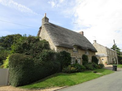
16, Main Street, building in Wadenhoe, East Northamptonshire, Northamptonshire, UK
Posizione: Wadenhoe
Coordinate GPS: 52.44056,-0.51334
Ultimo aggiornamento: 14 aprile 2025 alle 01:37
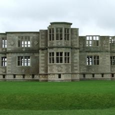
Lyveden New Bield
3.3 km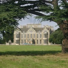
Lilford Hall
1.9 km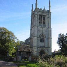
All Saints Church, Aldwincle
2 km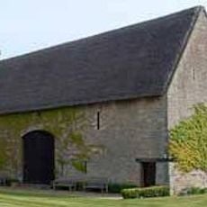
Thorpe Waterville Castle
2.4 km
Titchmarsh Nature Reserve
3.4 km
Aldwincle Marsh
2.8 km
Wadenhoe Marsh and Achurch Meadow
878 m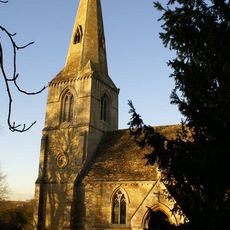
Church of St John the Baptist, Thorpe Achurch
1.1 km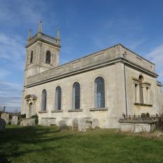
Church of St Rumbald
3.1 km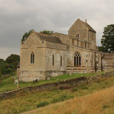
Church of St Michael and All Angels
394 m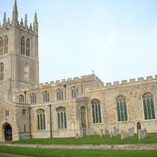
Church of St Mary the Virgin
3.8 km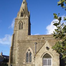
Church of St Mary and All Saints
1.7 km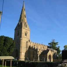
Church of St Peter
1.8 km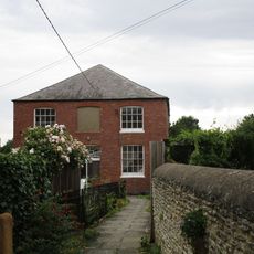
Aldwincle Baptist Church
1.9 km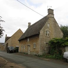
27, Church Street
102 m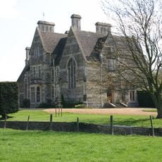
The Old Rectory
3.8 km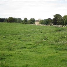
Bridge Approximately 75 Metres South Of Shuckburgh Arms Public House
2.9 km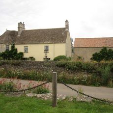
Dryden House And Attached Wall
2 km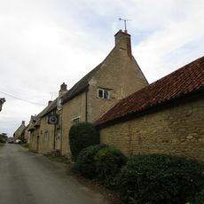
The Kings Head Public House And Attached Outbuilding
171 m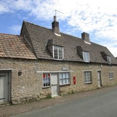
Wadenhoe Post Office
32 m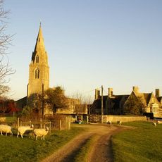
Manor House
1.7 km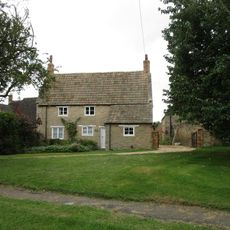
5, Cross Lane
1.7 km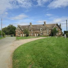
1-6, The Green
197 m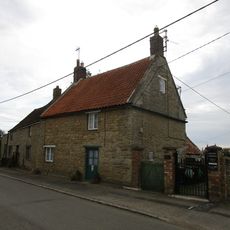
The Manse
1.9 km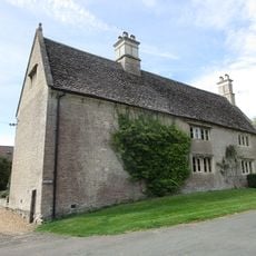
Manor Farm House And Attached Outbuilding
78 m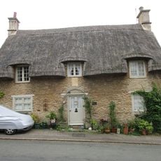
Shangrila
114 m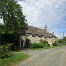
11 And 12, The Green
186 m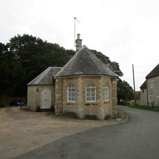
South Lodge
84 mRecensioni
Ha visitato questo luogo? Tocchi le stelle per valutarlo e condividere la Sua esperienza o foto con la community! Provalo ora! Puoi annullarlo in qualsiasi momento.
Scopri tesori nascosti ad ogni viaggio!
Da piccoli caffè caratteristici a panorami nascosti, fuggi dalla folla e scova i posti che fanno davvero per te. La nostra app ti semplifica tutto: ricerca vocale, filtri furbi, percorsi ottimizzati e dritte autentiche da viaggiatori di tutto il mondo. Scaricala subito per vivere l'avventura sul tuo smartphone!

Un nuovo approccio alla scoperta turistica❞
— Le Figaro
Tutti i luoghi che meritano di essere esplorati❞
— France Info
Un’escursione su misura in pochi clic❞
— 20 Minutes