
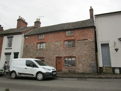
71, The Green, building in Mountsorrel, Charnwood, Leicestershire, UK
Posizione: Mountsorrel
Coordinate GPS: 52.72679,-1.13941
Ultimo aggiornamento: 3 marzo 2025 alle 03:54
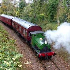
Mountsorrel Railway
727 m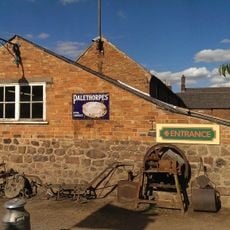
Stonehurst Farm
809 m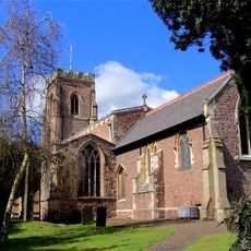
Church of St Mary the Virgin and St John the Baptist, Rothley
2.1 km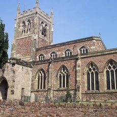
Church of St Mary
1.9 km
Main Quarry, Mountsorrel
513 m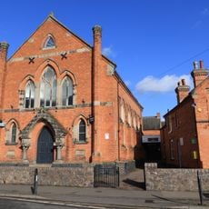
Sileby Wesleyan Methodist Church
2 km
Mountsorrel and Rothley Community Heritage Centre
1.2 km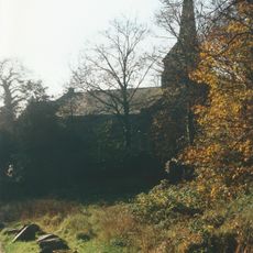
Christ Church
116 m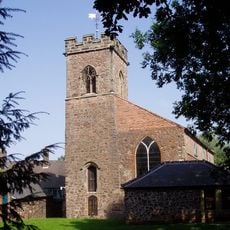
Church of St Peter
424 m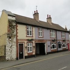
The Nag's Head Public House
481 m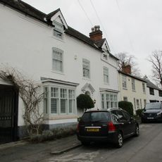
4, Church Street
2.1 km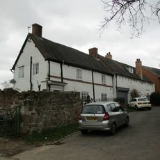
33, Little Church Lane
1.9 km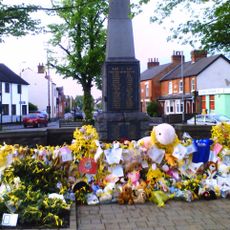
Rothley War Memorial and Walls
1.9 km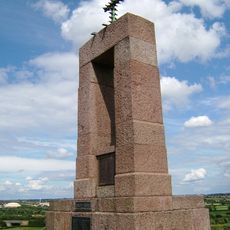
Mountsorrel War Memorial
181 m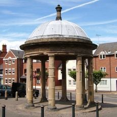
The Market Cross
359 m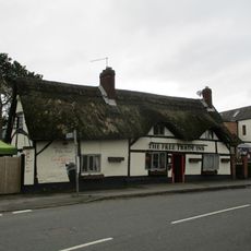
Free Trade Inn Public House
2 km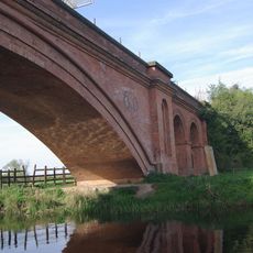
Mountsorrel Mineral Railway Bridge
722 m
5 And 7, Watling Street
329 m
3, 5 And 7, Loughborough Road
446 m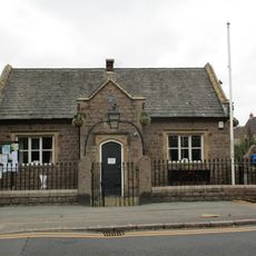
Parish Room With Walls, Piers, Gates And Railings
305 m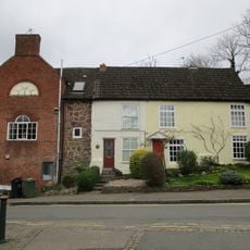
1 and 3, Watling Street
336 m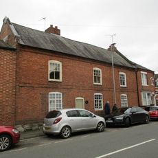
35 And 37, Cossington Road
2 km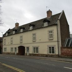
The Grapes
314 m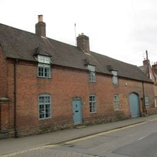
1, Loughborough Road
437 m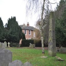
Mercian cross, St Mary and St John's churchyard
2.1 km
Mountsorrel Castle
204 m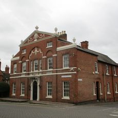
2, Loughborough Road
443 m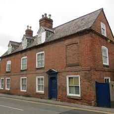
4, Loughborough Road
456 mRecensioni
Ha visitato questo luogo? Tocchi le stelle per valutarlo e condividere la Sua esperienza o foto con la community! Provalo ora! Puoi annullarlo in qualsiasi momento.
Scopri tesori nascosti ad ogni viaggio!
Da piccoli caffè caratteristici a panorami nascosti, fuggi dalla folla e scova i posti che fanno davvero per te. La nostra app ti semplifica tutto: ricerca vocale, filtri furbi, percorsi ottimizzati e dritte autentiche da viaggiatori di tutto il mondo. Scaricala subito per vivere l'avventura sul tuo smartphone!

Un nuovo approccio alla scoperta turistica❞
— Le Figaro
Tutti i luoghi che meritano di essere esplorati❞
— France Info
Un’escursione su misura in pochi clic❞
— 20 Minutes